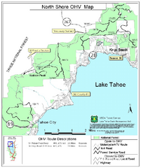
North Shore Lake Tahoe Off-Highway Vehicle Map
Off-highway vehicle map of the area around the North shore of Lake Tahoe. Roads open to motorcycles...
113 miles away
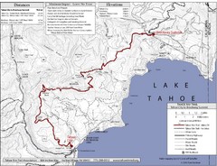
Tahoe Rim Trail Map
113 miles away
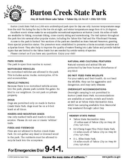
Burton Creek State Park Map
Map of park with detail of trails and recreation zones
113 miles away
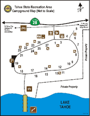
Tahoe State Recreation Area Campground Map
Map of park with detail of trails and recreation zones
114 miles away
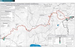
Tahoe Rim Trail: Brockway Summit to Tahoe Meadows...
Trail map of the Brockway Summit-Tahoe Meadows leg of the Tahoe Rim Trail. Bike trails, hiking...
114 miles away
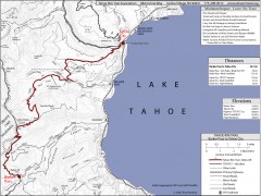
Tahoe Rim Trail: Barker Pass to Tahoe City Map
Topographic hiking map of the Barker Pass-Tahoe City leg of the Tahoe Rim Trail. Shows trailheads...
115 miles away
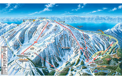
Mt. Rose Ski Tahoe Ski Trail Map
Trail map from Mt. Rose Ski Tahoe.
115 miles away
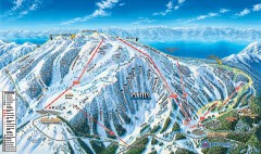
Mt. Rose Ski Trail Map
Official ski trail map of Mt. Rose ski area
115 miles away
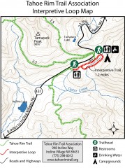
Tahoe Rim Trail: Interpretive Loop, Lake Tahoe...
Trail map of the Tahoe Rim Trail's Interpretive Loop Trail. Shows both trails, camping...
115 miles away
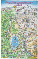
Reno and Lake Tahoe Area Golf map
Illustrated map showing all golf courses in the Reno/lake Tahoe area, 2006 version. To view more...
116 miles away
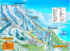
Diamond Peak Ski Trail Map
Trail map from Diamond Peak.
117 miles away
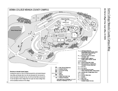
Sierra College Campus Map
Sierra College Campus Map. All buildings shown.
117 miles away
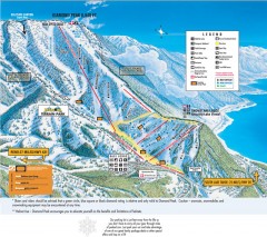
Diamond Peak Ski Trail Map
Official ski trail map of Diamond Peak ski area from the 2007-2008 season.
117 miles away
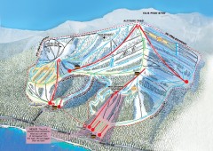
Homewood Ski Trail Map
Official ski trail map of Homewood ski area from the 2007-2008 season.
118 miles away
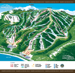
Homewood Mountain Resort Ski Trail Map
Trail map from Homewood Mountain Resort, which provides downhill and terrain park skiing. It has 7...
118 miles away

Burning Map 2005 Map
Artistic representation of Burning Man's Black Rock City.
118 miles away
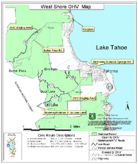
West Shore Lake Tahoe Off-highway Vehicle Map
Off-highway vehicle map of the West Shore of Lake Tahoe. Roads open to motorcycles, ATVs, and 4x4s...
118 miles away

Rockville Hills Regional Park Map
Trail Map, Two small lakes, picnic areas
121 miles away
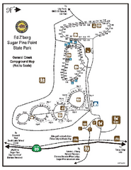
Sugar Pine Point State Park Campground Map
Map of campground region of park with detail of trails and recreation zones
121 miles away

Sugar Pine Point State Park South Map
Map of southern region of park with detail of trails and recreation zones
121 miles away
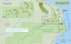
Sugar Pine Point State Park North Map
Map of northern region of park with detail of trails and recreation zones
121 miles away
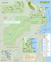
Sugar Pine Point State Park Map
Map of park with detail of trails and recreation zones
121 miles away

Digital Elevation Model Satellite Tahoe Map
Digital Elevation Models
121 miles away
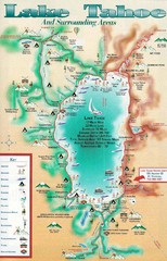
Lake Tahoe and nearby activities Map
Lake Tahoe and nearby resorts and activities
121 miles away
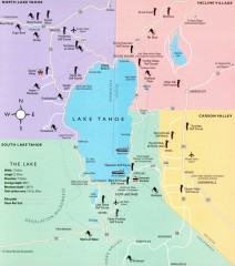
Lake Tahoe Area, California Map
Recreation map of Lake Tahoe, California. Points of interest shown include golfing, skiing, and...
121 miles away
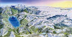
Lake Tahoe Ski Resort map
Winter map of Lake Tahoe showing relative position of all ski resorts. South-facing view. Created...
121 miles away
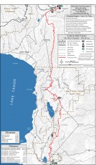
Tahoe Rim Trail: Tahoe Meadows to Spooner Summit...
Topographic hiking map of the Tahoe Meadows-Spooner Summit leg of the Tahoe Rim Trail. Shows bike...
122 miles away

BTS Route Map
Map of BTS bus routes throughout Klamath Falls
122 miles away
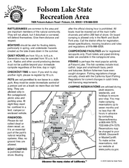
Folsom Lake State Recreation Area Campground Map
Map of park with detail of trails and recreation zones
123 miles away
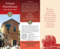
Folsom Powerhouse State Historic Park Map
Map of park with detail of trails and recreation zones
124 miles away
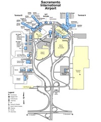
Sacramento International Airport Map
124 miles away
Clear Lake State Park Campground Map
Map of park with detail of trails and recreation zones
125 miles away
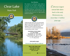
Clear Lake State Park Map
Map of park with detail of trails and recreation zones
125 miles away
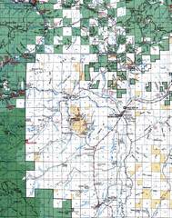
Clip07 Map
Visitor Maps of Klamath, central-western part of the park. Includes all roads, camp grounds...
126 miles away
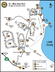
D.L. Bliss State Park Campground Map
Map of park with detail of trails and recreation zones
126 miles away
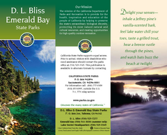
D.L. Bliss State Park Map
Map of park with detail of trails and recreation zones
126 miles away
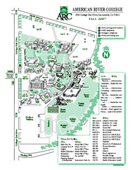
American River College Campus Map
American River College Campus Map. Shows all buildings.
127 miles away
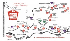
Apple Hill tourist map
Map of Apple Hill growers in Camino, California. Shows vineyards and orchards.
127 miles away
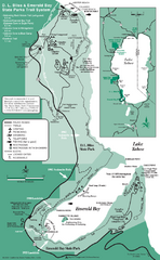
Emerald Bay State Park and DL Bliss State Park...
Trail map of Emerald Bay State Park and DL Bliss State Park on the shores of Lake Tahoe, California
127 miles away
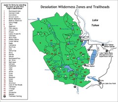
Desolation Wilderness Permits Zone Map
Zone and trailhead map of the Desolation Wilderness near Lake Tahoe, California. Use to figure out...
127 miles away

