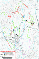
Weaverville Basin Trail System Map
Guide to trails near Weaverville, CA
81 miles away
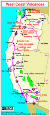
Major West Coast Volcanoes (Washington, Oregon...
81 miles away
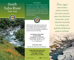
South Yuba River State Park Map
Map of park with detail of trails and recreation zones
83 miles away
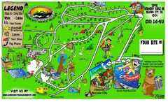
Harmony Ridge Resort Map
86 miles away
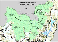
Trinity Alps Wilderness Map
Overview map of the Trinity Alps Wilderness near Weaverville, CA
87 miles away
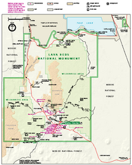
Lava Beds National Monument official park map
Official park map of Lava Beds National Monument. Shows trails, roads, cave entrances, and lava...
89 miles away
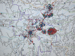
Nevada County Economic Resource Council Activity...
The ERC supports many different businesses in western Nevada County. We provide business assistance...
90 miles away
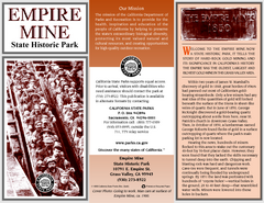
Empire Mine State Historic Park Map
Map of park with detail of trails and recreation zones
91 miles away

Pacific Crest Trail Map
Shows entire route of 2,650 mile Pacific Crest Trail from Mexico to Canada.
91 miles away
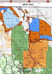
Modoc National Park Map
Visitor Map of Modoc National Park--Western Part. Includes the parameters of the Lava Beds...
95 miles away
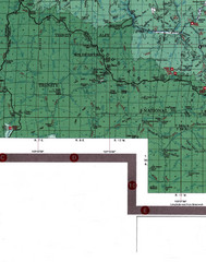
Klamath National Forest Map
Visitor Map of Klamath, eastern part of the forest, includes all roads, camp grounds, creeks, and...
95 miles away
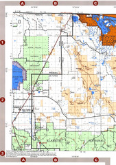
Modoc National Forest Map
Forest Visitor Map of the western most part of Modoc National Park. Includes county boundaries...
96 miles away
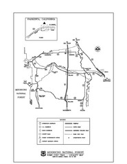
Mendocino National Forest map
Map of the Nome Cult Trail Walk in the Mendocino National Forest.
97 miles away
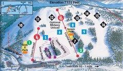
Soda Springs Ski Trail Map
Trail map from Soda Springs, which provides downhill and terrain park skiing. It has 2 lifts...
98 miles away
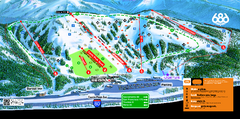
Boreal Mountain Resort Ski Trail Map
Trail map from Boreal Mountain Resort, which provides downhill, night, and terrain park skiing. It...
98 miles away
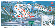
Boreal Ski Trail Map
Official ski trail map of Boreal ski area
98 miles away
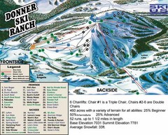
Donner Ski Ranch Ski Trail Map
Trail map from Donner Ski Ranch, which provides downhill and terrain park skiing. It has 6 lifts...
99 miles away

Tahoe Donner Ski Trail Map
Trail map from Tahoe Donner, which provides downhill, night, and nordic skiing. It has 3 lifts...
100 miles away
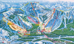
Sugar Bowl Resort Ski Trail Map
Trail map from Sugar Bowl Resort, which provides downhill and terrain park skiing. It has 12 lifts...
100 miles away
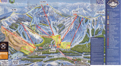
Sugar Bowl Ski Trail Map
Ski trail map of Sugar Bowl ski area from the 2008-09 season. Scanned.
101 miles away
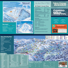
Tahoe Donner Cross Country Ski Trail Map
Ski trail map of Tahoe Donner Association. Shows both downhill and cross-country ski trails...
102 miles away
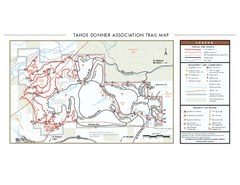
Tahoe Donner Ski Trail Map
Official ski trail map of Tahoe Donner Association. Shows both downhill and cross-country ski...
102 miles away
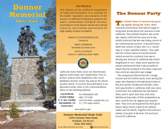
Donner Memorial State Park Map
Map of park with detail of trails and recreation zones
102 miles away
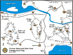
Donner Memorial State Park Campground Map
Map of park with detail of trails and recreation zones
102 miles away
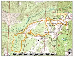
Sky Tavern XC Route Map
Topo map of the XC course for the cycling event.
105 miles away
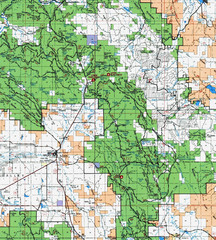
Clip10 Map
Visitor Maps of Modoc National Park, eastern part of the park includes all roads, camping areas...
106 miles away

Reno Tahoe Tourist Map
108 miles away

Reno, Nevada City Map
108 miles away
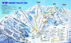
Squaw Valley USA Trail Map
Trail map of Squaw Valley ski area in Lake Tahoe, California
109 miles away

Granite Chief Wilderness Map
Trail map of Granite Chief Wilderness in Lake Tahoe region. Shows trails (inlcuding Pacific Crest...
109 miles away
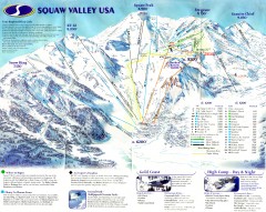
Squaw Valley Ski Trail Map
Scan of ski trail map of Squaw Valley ski area from the 2000-2001 season.
109 miles away
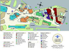
Squaw Valley Base Village Map
Village map of base of Squaw Valley Ski Resort, Lake Tahoe, California. Shows all restaurants...
109 miles away
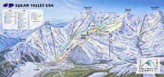
Squaw Valley USA Ski Trail Map
Trail map from Squaw Valley USA, which provides downhill, night, nordic, and terrain park skiing...
109 miles away
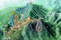
Northstar Ski Trail Map
Official ski trail map of Northstar-at-Tahoe ski area from the 2007-2008 season.
110 miles away

Downtown Reno, Nevada Map
Tourist map of Reno, Nevada. Event and convention centers, visitor's center, parks, and other...
110 miles away
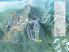
Northstar-at-Tahoe Ski Trail Map
Official trail map of Northstar-at-Tahoe ski area from the 2009-2010 season
110 miles away
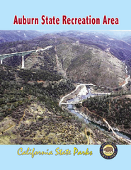
Auburn State Recreation Area Map
Map of park with detail of of trails and recreation zones
110 miles away
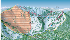
Alpine Meadows Ski Area Backside Ski Trail Map
Trail map from Alpine Meadows Ski Area, which provides downhill and terrain park skiing. It has 13...
111 miles away
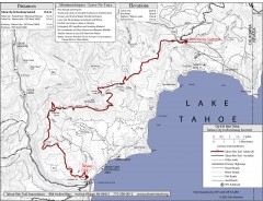
Tahoe Rim Trail: Tahoe City to Brockway Summit Map
Topographic hiking map of the Tahoe City-Brockway Summit leg of the Tahoe Rim Trail. Shows trail...
111 miles away
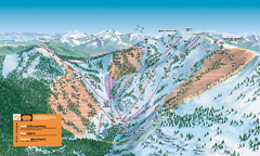
Alpine Meadows Ski Trail Map (Front)
Official ski trail map of Alpine Meadows ski area from the 2005-2006 season.
112 miles away

