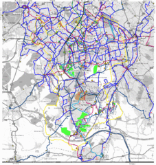
Cheam Bus Route Map
Olympic Bid 2016 - Bus Route Map
54 miles away
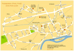
Twickenham Pub Guide Map
Map of TW1 & TW2 area
56 miles away
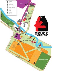
Steventon, South Oxfordshire Tourist Map
56 miles away
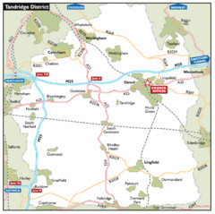
Tandridge District, England Region Map
56 miles away
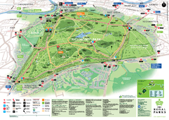
Richmond Park Map
57 miles away

River Thames Map
River Thames Map, illustrated by Katherine Baxter for the Runnymede-on-Thames Hotel as a 8 metre...
59 miles away
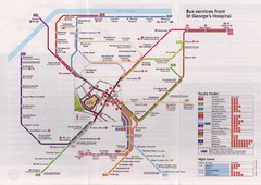
St. Georges Hospital Bus Services Map
59 miles away
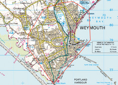
Weymouth, England Region Map
60 miles away
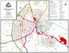
Chippenham Town Map
61 miles away
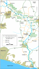
East Sussex, England City Map
62 miles away
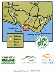
East Sussex, England Bus System Route Map
62 miles away
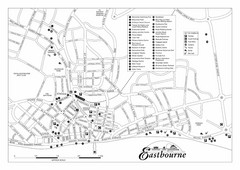
Eastbourne England Tourist Map
Central Eastbourne, England street level tourist map showing tourist sites, parks and city...
62 miles away
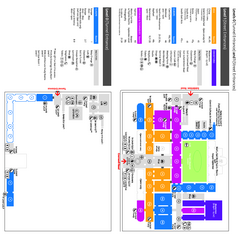
The Victoria & Albert Museum Floor plan Map
Map of The Victoria & Albert Museum in London. Shows entrances and exhibits.
62 miles away
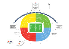
UK Wembley Stadium Map
63 miles away
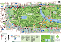
Kensington Gardens Map
63 miles away
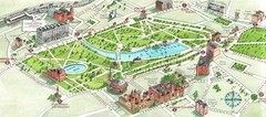
London Hyde Park map
Map of London, showing Hyde park.
63 miles away
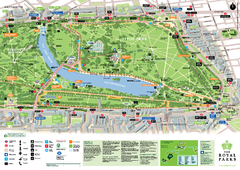
Hyde Park Map
63 miles away
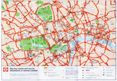
London Bus and Tourist Map
Key bus routes and tourist attractions in central London. Scanned.
64 miles away
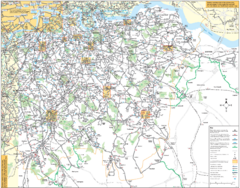
Southeast London Bus Map
64 miles away
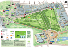
Green Park Map
64 miles away
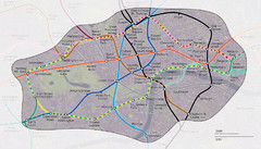
London Underground Zone 1 with Street Map
The London Underground Zone 1 geographically overlaid on city streets.
64 miles away
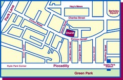
Third Church of Christ, Scientist, Location Map
64 miles away
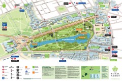
St. James Park Map
Official birds-eye view map of St. James Park, London.
64 miles away
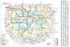
London Underground Map
64 miles away
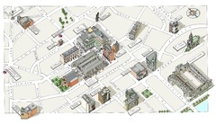
Map of London Covent Garden
Map of Covent Garden London
64 miles away
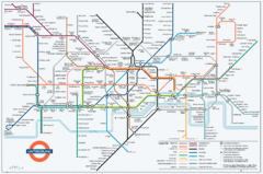
Untergrund Map
Comedic London Underground Tube map showing what it would look like if England had lost the war.
64 miles away
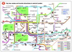
Central London Tourist and Bus map
Current Map showing all London Attractions and Bus transportation Route.
64 miles away
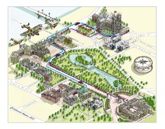
London Westminster Royal Wedding Map
London map, Route map for the royal Wedding 29th April 2011
64 miles away
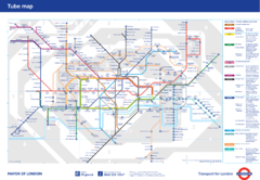
London Underground
London Underground map. Shows all 11 lines, 270 stations, and 9 zones as of 2010. This is the...
64 miles away
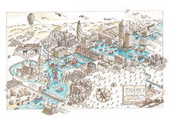
Map of London
Aerial map of London, a look at the History of London and the River Thames
64 miles away
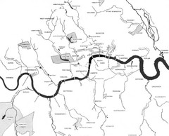
London Subterranean Rivers Map
A great help when one wants to name more than one or two rivers/streams that run through London. I...
64 miles away
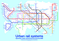
Diagram linking cities with Urban rail systems Map
Made for the book "Transit Maps of the World" this London Underground inspired diagram...
64 miles away
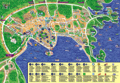
London Tourist Map
64 miles away
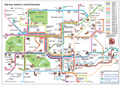
London Bus Route Map
64 miles away
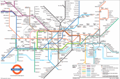
London Subway Map
64 miles away
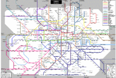
London Subway Map
64 miles away
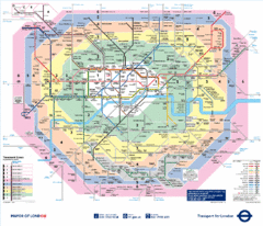
London, England Underground Map
64 miles away
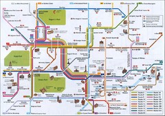
London Tube Map
64 miles away
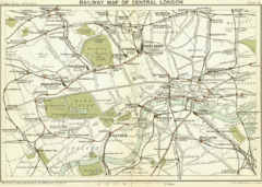
1899 London Railway Map
64 miles away
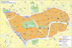
London Congestion Zone Map
64 miles away

