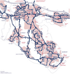
Fareham Busmap Map
Bus map of Portchester, Gosport and Fareham routes.
0 miles away
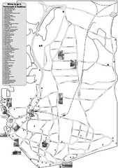
Portsmouth and Southsea Tourist Map
Tourist map of "where to go" in Portsmouth and Southsea, England. Includes photos of...
3 miles away
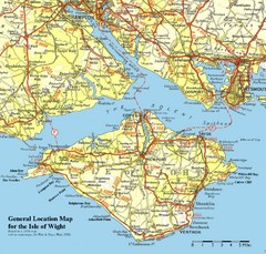
Isle of Wight Map
Based on 1950's map with no motorways
10 miles away
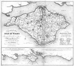
Isle of Wight Map
12 miles away
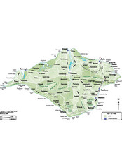
Isle of Wight Map
12 miles away
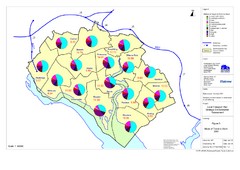
Methods of Travel in Southampton, UK Map
The methods of travel used by workers in Southampton
13 miles away
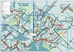
Southampton Public Transport Map
Public transport map of Southampton, England
13 miles away
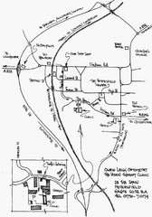
Petersfield, London Map
15 miles away
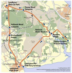
New Forest Bus Tour Map
19 miles away
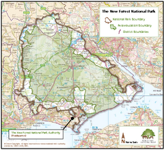
The New Forest National Park Map
Nice map with clear park boundaries.
22 miles away
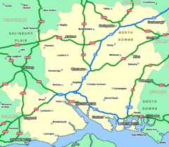
Southhampton Area Hotel Map
26 miles away
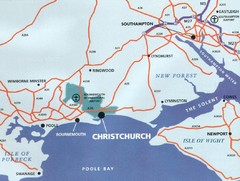
Christchurch, England Region Map
29 miles away
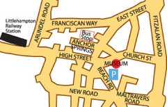
Museums in West Sussex, England Map
30 miles away
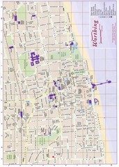
West Sussex, England Map
30 miles away

Bournemouth bus tour map
Bournemouth bus tour map - City Sightseeing
33 miles away
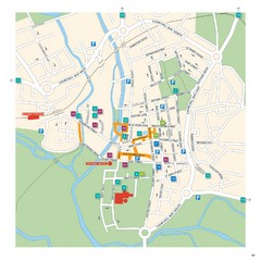
Salisbury Tourist Map
Tourist map of central Salisbury, UK. Shows parking and key for points of interest.
33 miles away
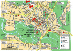
Salisbury City Map
Map of Salisbury City
33 miles away
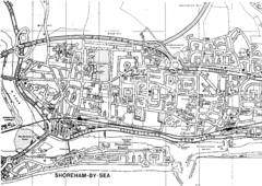
Shoreham-by-Sea, England City Map
37 miles away
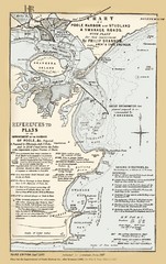
1857 Poole Harbor Map
Guide to the peninsula and improvements in the Harbor
39 miles away
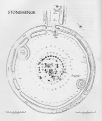
Stonehenge Map
Hand drawn map of Stonehenge showing stone circle and surrounding area
39 miles away
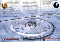
Stonehenge Brochure Map
Scan of official brochure of Stonehenge.
39 miles away
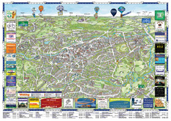
Woking Tourist Map
Tourist map of Woking, Surrey, England. Oblique/3D town map with ads.
42 miles away
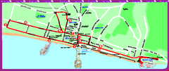
Brighton bus tour map
Brighton bus tour map - City Sightseeing
44 miles away
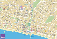
Brighton Tourist Map
Street map of Brighton, UK. Shows gay points of interest.
44 miles away
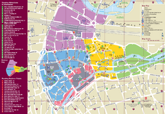
Reading Tourist Map
Tourist map of city center of Reading, England. Shows attractions and other tourist points of...
44 miles away
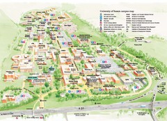
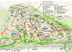
University of Sussex Campus Map
Official campus map of University of Sussex. Shows campus buildings and points of interest.
46 miles away
University of Sussex Campus Map
46 miles away
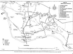
Whitchurch on Thames Walking Map
Guide to 12 walks around Whitchurch on Thames, UK
46 miles away
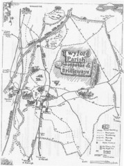
Twyford Parish Map
Footpaths and bridleways map of Twyford Parish
47 miles away
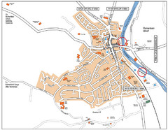
Henley-on-thames Map
Visitor Map of Henley-on-thames. Map shows location of most main roads, buildings, and parking.
50 miles away
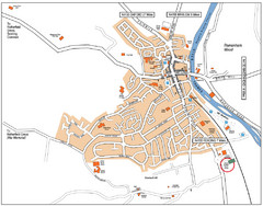
Henley-on-Thames Map
50 miles away

Chessington Zoo Map
51 miles away
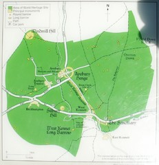
Avebury World Heritage Site Map
Map of Avebury, England showing World Heritage Site and surroundings. From photo.
52 miles away
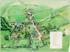
Avebury Tourist Map
Tourist map of Avebury, England. Shows Avebury Henge. From photo.
52 miles away
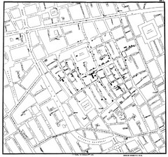
Cholera Outbreak of London Map
Map used to analyze the cholera outbreak in London, specifically South Hampton in 1853
53 miles away
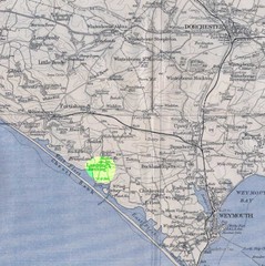
Dorchester, England Region Map
53 miles away
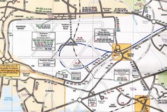
Heathrow Airport Transportation Map
54 miles away
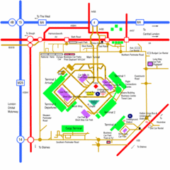
Heathrow Airport Map
54 miles away

