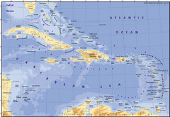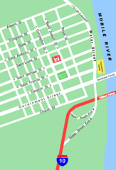
Pensacola Beach Tourist Map
473 miles away
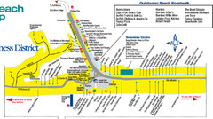
Quitewater Beach Boardwalk Map
474 miles away
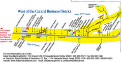
Pensacola Beach Tourist Map
474 miles away

Abraham Balwin Agricultral College Campus Map
476 miles away
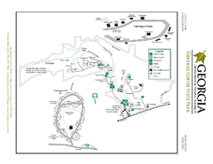
General Coffee State Park Map
Map of park with detail of trails and recreation zones
477 miles away
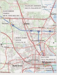
Pensacola, Florida Tourist Map
481 miles away

"Pilon-Bayamo" Road Map
482 miles away
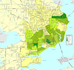
Pensacola, Florida City Map
484 miles away
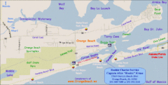
Orange Beach, Florida Beach Tourist Map
487 miles away
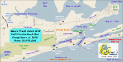
Orange Beach Tourist Map
487 miles away
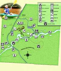
Blackwater River State Park Map
Map of park with detail of various recreation zones
487 miles away
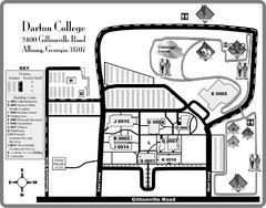
Darton College Campus Map
488 miles away
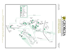
Kolomoki Mounds State Park Map
Map of park with detail of trails and recreation zones
489 miles away

Gulf Islands National Seashore Park Map
Official NPS map of the Gulf Islands National Seashore Park. Largest National Seashore in the US...
493 miles away

Bayamo Map
495 miles away

Holguin Map
495 miles away
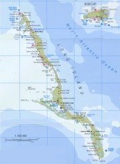
Tourist map of Long Island in the Bahamas
Tourist map of Long Island and Rum Cay in the Bahamas.
501 miles away
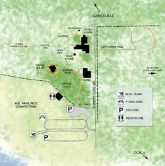
Marjorie Kinnan Rawlings Historic State Park Map
Map of park with detail of trails and recreation zones
501 miles away
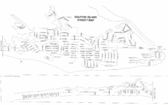
Dauphin Island Street Map
505 miles away

Dauphin Island Change Detection Map
506 miles away
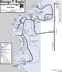
George T. Bagby State Park Map
Map of park with detail of trails and recreation zones
507 miles away
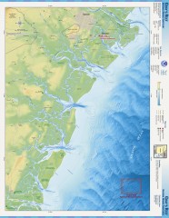
Gray's Reef National Marine Sanctuary Map
Gray's Reef National Marine Sanctuary , designated in January 1981, is one of the largest near...
508 miles away
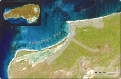
Rum Cay real estate map
Real estate sales map for a major development on Rum Cay, the Bahamas.
511 miles away
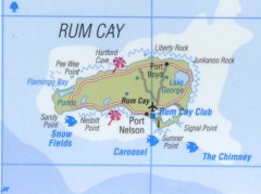
Tourist map of Rum Cay
Tourist map of Rum Cay in the Bahamas.
511 miles away
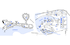
Georgia Veterans State Park Map
Map of park with detail of trails and recreation zones
511 miles away

Fort McAllister Historic Park Map
Map of park with detail of trails and recreation zones
512 miles away
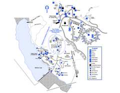
Little Ocmulgee State Park Map
Map of park with detail of trails and recreation zones
516 miles away
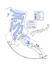
Gordonia-Alatamaha State Park Map
Map of park with detail of trails and recreation zones
518 miles away

"Bayamo - SantiagoDeCuba" Road Map
519 miles away
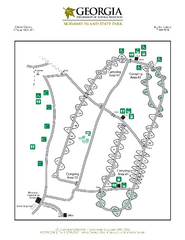
Skidaway Island State Park Map
Map of park with detail of trails and recreation zones
519 miles away
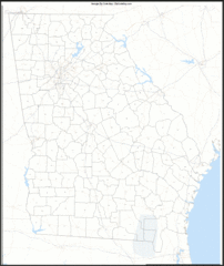
Georgia Zip Code Map
Check out this Zip code map and every other state and county zip code map zipcodeguy.com.
521 miles away
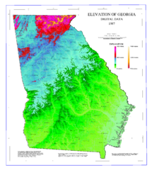
Map of Georgia Elevations
Digital elevation map of Georgia, U.S.
521 miles away
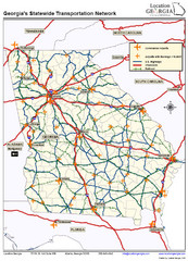
Georgia Transportation Map
521 miles away
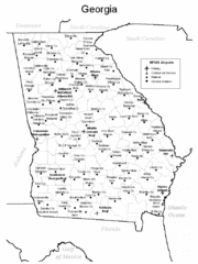
Georgia Tourist Map
521 miles away
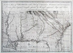
Georgia Map
Map of Georgia circa 1748. Includes Georgia and parts of the Carolinas, Florida and Louisiana.
521 miles away
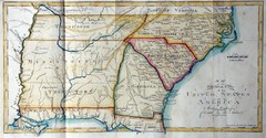
Southern Parts of the US Map
"This map was initially published in Morse's American Gazetteer in 1797 with Georgia...
524 miles away
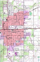
Atmore City Map
Topographical city map of Atmore, Alabama
525 miles away
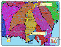
Drainage Basins of the Southeast United States Map
Lakes, rivers and dams in the Apalachicola, Chattahoochee and Flint River System.
525 miles away

