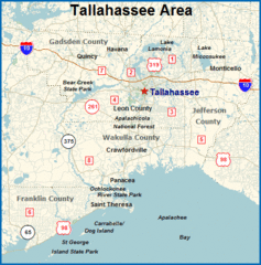
Tallahassee, Florida City Map
411 miles away
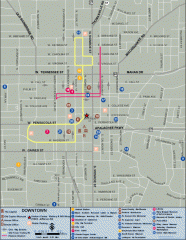
Downtown Tallahassee, Florida Map
Tourist map of downtown Tallahassee, Florida. Museums, government buildings and other points of...
411 miles away

Florida State University Map
Florida State University campus map. All buildings shown.
411 miles away
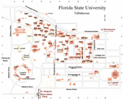
Florida State University Map
411 miles away
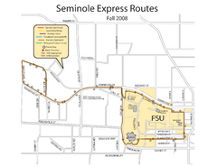
Florida State University Seminole Express Bus Map
412 miles away
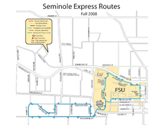
Seminole Express Bus Service Map
Bus route to Florida State University.
412 miles away
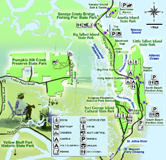
Jacksonville Area Florida State Parks Map
Overview map of Florida State Parks near Jacksonville, Florida. Shows Pumpkin Hill Creek Preserve...
412 miles away
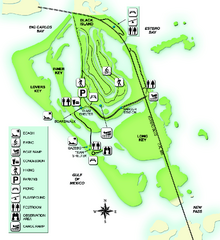
Lovers Key State Park Map
Map of park with detail of trails and recreation zones
413 miles away
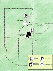
Letchworth-Love Mounds Map
Map of park with detail of trails and recreation zones
413 miles away

"Sola - Camalote" Road Map
416 miles away
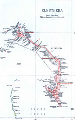
Eleuthera Island Map
416 miles away
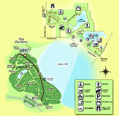
Alfred B. Maclay Gardens State Park Map
Map of park with detail of trails and recreation zones
416 miles away
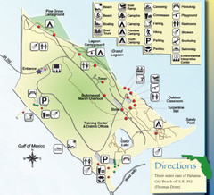
St. Andrews State Park Map
Overview map of St. Andrews State Park, #2 beach in America by TripAdvisor.com, 2008
419 miles away
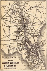
1913 Georgia Southern & Florida Railway Map
420 miles away
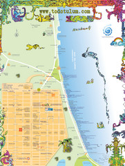
Tulum Tourist Map
Tourist map showing town and Mayan ruins of Tulum, Mexico on the Caribbean. Shows hotels...
423 miles away
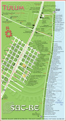
Tulum Hotel Map
423 miles away
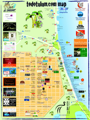
Tulum Tourist Map 2009
Tourist map showing town and Mayan ruins of Tulum, Mexico on the Caribbean. Shows hotels...
424 miles away

Lake Tallavana Parcel Map
Lake Tallavana Parcel Map
424 miles away
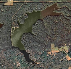
Lake Tallavana Map
Lake Tallavana aerial Map of the lake and surrounding areas.
424 miles away
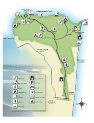
Fort Clinch State Park Map
Park map of Fort Clinch State Park in Amelia Island, Florida. Shows fort historic site, facilities...
428 miles away
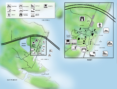
Camp Helen State Park Map
Map of park with detail of various recreation zones
435 miles away
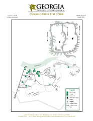
Crooked River State Park Map
Map of park with detail of trails and recreation zones
437 miles away
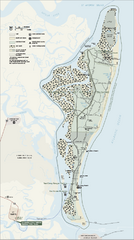
Cumberland Island National Seashore Map
Official NPS map of Cumberland Island National Seashore, Cumberland Island, Georgia. Rated #4...
439 miles away
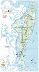
Cumberland Island Map
Map of Cumberland Island, including hiking trails and campgrounds
441 miles away
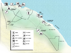
Three Rivers State Park Map
Map of park with detail of recreation zones
441 miles away

"SibanicU - Las Tunas" Road Map
442 miles away
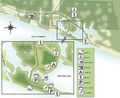
Grayton Beach State Park Map
Map of park with detail of trails and recreation zones
443 miles away
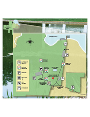
Eden Gardens State Park Map
Map of park with detail of gardens
444 miles away
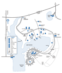
Seminole State Park Map
Map of park with detail of trails and recreation zones
445 miles away
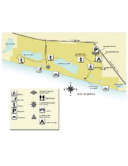
Topsail Hill Preserve State Park Map
Map of park with detail of recreation zones
449 miles away
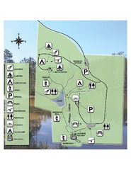
Falling Waters State Recreation Area Map
Map of park with detail of trails and recreation zones
452 miles away
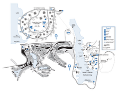
Laura S. Walker State Park Map
Map of park with detail of trails and recreation zones
452 miles away
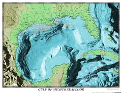
Gulf of Mexico sea floor Map
454 miles away
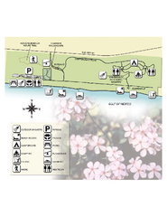
Henderson State Park Map
Map of park with detail of trails and recreation zones
454 miles away

Las Tunas Map
454 miles away
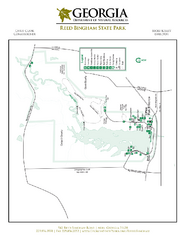
Reed Bingham State Park Map
Map of park with detail of trails and recreation zones
455 miles away
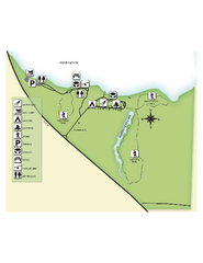
Fred Gannon Rocky Bayou State Park Map
Map of park with detail of trails and recreation zones
461 miles away
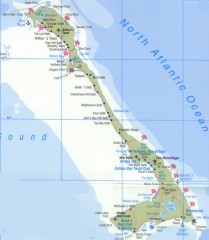
Tourist map of Cat Island
Tourist map of Cat Island in the Bahamas
462 miles away

"Niquero-Manzanillo" Road map
472 miles away

