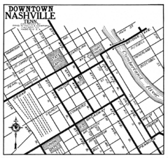
Downtown Nashville, TN Tourist Map
831 miles away
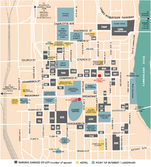
Nashville, TN Tourist Map
831 miles away
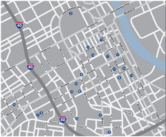
Nashville, TN Tourist Map
831 miles away
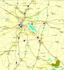
Nashville, TN Tourist Map
831 miles away
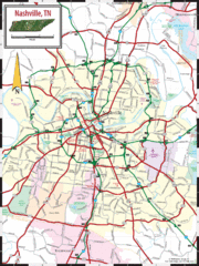
Nashville Road Map
Shows roads and major streets in Nashville, TN area
831 miles away
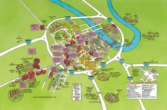
Nashville, TN Tourist Map
831 miles away
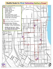
Nashville First Saturday Gallery Crawl Shuttle...
831 miles away

Nashville City Map
831 miles away
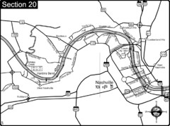
Nashville, TN-Cumberland River Map
The Cumberland River is an important waterway to the city of Nashville. Nashville is also a great...
832 miles away
Blue Ridge Parkway Official Map
Official NPS map of the Blue Ridge Parkway. The Parkway meanders 469 miles through Virginia and...
832 miles away

Midtown Nashville and West End Map
832 miles away
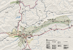
Cumberland Gap National Historical Park Official...
Official NPS map of Cumberland Gap National Historical Park in Virginia-Tennessee-Kentucky. Map...
832 miles away
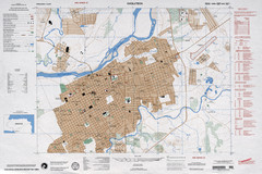
Choluteca Honduras Map
832 miles away
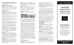
Grayson Highlands State Park Map
Clear and descriptive map of this beautiful state park.
834 miles away
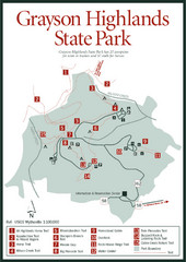
Grayson Highlands State Park Map
834 miles away
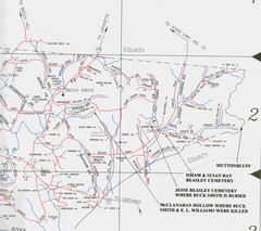
Trousdale County Muttonbluff Map
Pictured is a part of a map of Trousdale County containing the extreme northeast section. The...
834 miles away
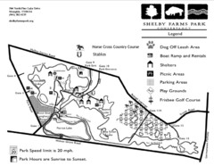
Shelby Farms Park Activities Areas Map
Visitor map of Shelby Farms Park. Shows parameters of dog areas, parking, play grounds, shelters...
836 miles away
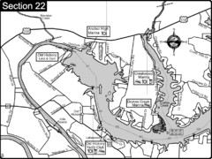
Old Hickory Lake-Cumberland River Map
Section 22 from the Cumberland River Guidebook shows the dam that forms Old Hickory Lake near...
836 miles away
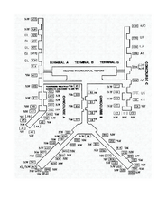
Memphis International Airport Terminal Map
Official Terminal Map of Memphis International Airport. Shows all terminals.
836 miles away
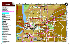
Memphis, Tennessee City Map
837 miles away
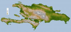
Hispaniola Topo Map
Satellite image of Hispaniola (Haiti and the Dominican Republic) color-coded by elevation.
837 miles away
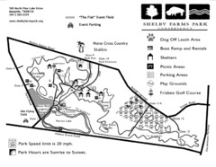
Shelby Farms Park Map
838 miles away
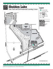
Sheldon Lake, Texas State Park Facility Map
838 miles away
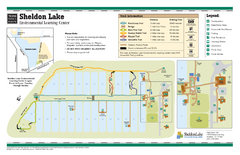
Sheldon Lake, Texas State Park Map
838 miles away
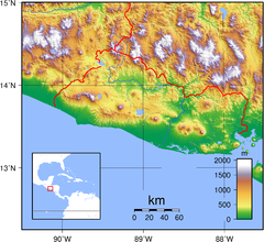
El Salvador topography Map
838 miles away
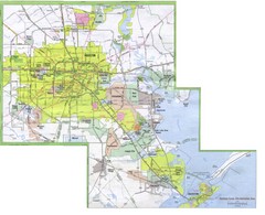
Houston Metropolitan Map
City map of the Galveston to Houston, Texas metro area
838 miles away
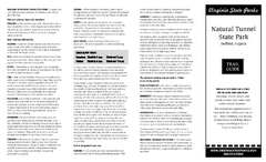
Natural Tunnel State Park Map
Detailed and informative state park map and legend.
839 miles away
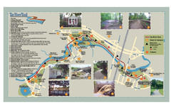
Tar Riverm Trail Map
839 miles away
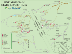
Pine Mountain State Resort Park Map
Map of trails and facilities in Pine Mountain State Resort Park .
839 miles away
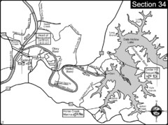
Celina, TN Dale Hollow Lake-Cumberland River Map
Celina Tennessee is the location for the head of navigation for the Cumberland River at the fork of...
839 miles away
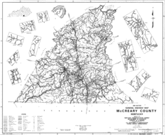
Mccreary County General Highway Map
Map of McCreary County with road, waterways and towns identified.
840 miles away
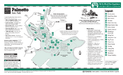
Palmetto, Texas State Park Facility and Trail Map
841 miles away
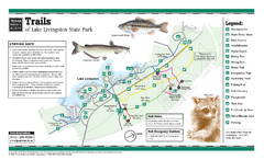
Lake Livingston, Texas State Park Trail Map
842 miles away
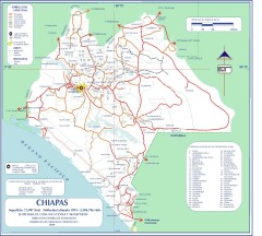
Chiapas Road Map
Road map of the Mexican state of Chiapas. Borders the Pacific Ocean and Guatemala. Shows roads and...
843 miles away
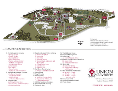
Union University Jackson Campus Map
Campus map of Union University in Jackson, Tennessee
844 miles away
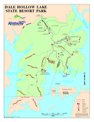
Dale Hollow Lake State Park Map
Map of trails and facilities of Dale Hollow Lake State Park.
844 miles away
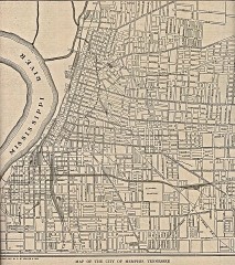
Antique map of Memphis from 1911
Antique map of Memphis, Tennessee from The New Encyclopedic Atlas and Gazetteer of the World. New...
844 miles away
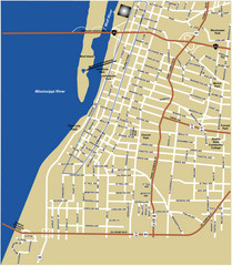
Downtown Memphis Map
844 miles away
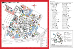
University of Houston Map
Campus Map of the University of Houston. All buildings shown.
844 miles away
New River Trail State Park Map
Clear and detailed state park map.
845 miles away

