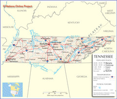
Tennessee Tourist Map
785 miles away
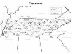
Tennessee Airports Map
785 miles away
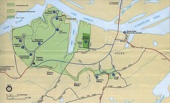
Civil War Era Tennessee State Battle Map
785 miles away

Downtown Beaumont Libraries Map
785 miles away
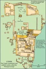
Copan Ruins Map
785 miles away
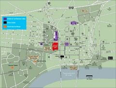
University of Tennessee Map
Map with locations of downtown Tennessee.
785 miles away

University of Tennessee Map
786 miles away
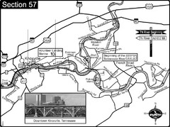
Knoxville, TN Tennessee River/Holston River...
This is the source of the Tennessee River at the confluence of the Holston River and French Broad...
786 miles away
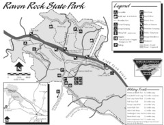
Raven Rock State Park Map
786 miles away
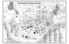
University of Tennessee Map
Campus Map of the University of Tennessee. All areas shown.
786 miles away
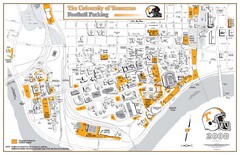
University of Tennessee Tourist Map
786 miles away
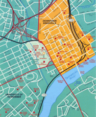
Knoxville, TN Tourist Map
786 miles away
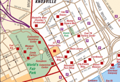
Knoxville, TN Tourist Map
786 miles away
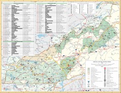
Pisgah National Forest and Nantahala National...
Pisgah National Forest and Nantahala National Forest recreation map. Contains list of all...
786 miles away
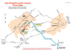
Knoxville and Oakridge Airports Map
787 miles away

Knoxville, Tennessee City Map
787 miles away
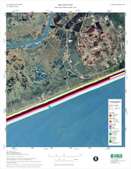
High Island Map
787 miles away
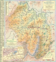
Yancey County Chamber of Commerce Map
Map of Yancey County, North Carolina. Shows all public roads, communities, hiking trails and picnic...
788 miles away
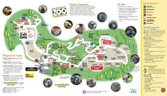
Knoxville Zoo Map
789 miles away
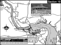
Pickwick Lake Tennessee River Map
For boating navigational information and river road travel along the Tennessee River. This map...
789 miles away
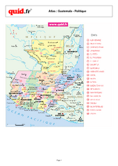
Guatemala Regional Map
Country map with detail of regional divides
789 miles away
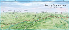
Panoramic View of Roan to Grandfather Map
This panorama takes in the vista from Roan to Grandfather mountain - overlooking the upper Linville...
790 miles away
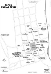
Copan Ruinas town Map
790 miles away
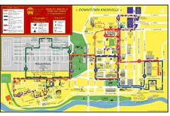
Knoxville, TN Tourist Map
790 miles away
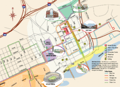
Knoxville, TN Tourist Map
790 miles away
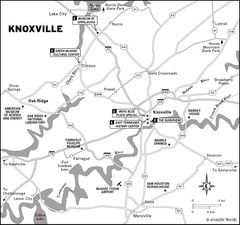
Knoxville, TN Tourist Map
790 miles away
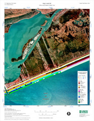
High Island Map
Coastal classification map of High Island
790 miles away
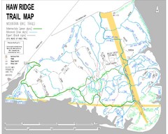
Haw Ridge Trail Map
790 miles away
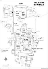
Copan Ruins Map
791 miles away
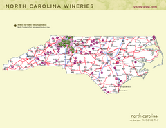
North Carolina Wine Map
Map of North Carolina wineries. 2nd page of PDF has winery listings
792 miles away
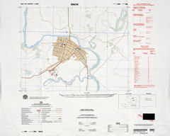
Hinche, Haiti Tourist Map
793 miles away
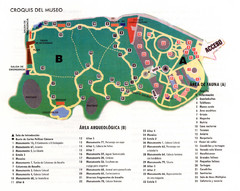
La Venta Park Map
794 miles away
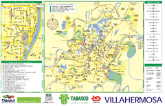
Villahermosa tourist map
795 miles away

Cherry Point Conservation Initiative Map
Map showing conservation lands at two US military facilities in coastal North Carolina.
796 miles away
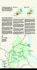
Shiloh National Military Park Official Park Map
Official NPS map of Shiloh National Military Park in Tennessee. The park is open every day except...
797 miles away
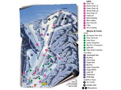
Sugar Mountain Resort Ski Trail Map
Trail map from Sugar Mountain Resort.
798 miles away
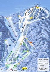
Sugar Mountain Ski Trail Map
Official ski trail map of Sugar Mountain ski area
798 miles away
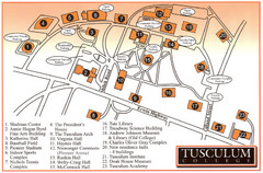
Tusculum College Campus Map
Campus map of Tusculum College in
799 miles away
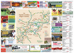
Avery County Attractions Map
Avery County Attractions Map
800 miles away

