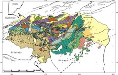
Honduras Geology Map
688 miles away
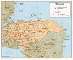
Honduras Tourist Map
688 miles away

Little River Canyon Tourist Map
Little River Canyon, Alabama
689 miles away
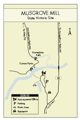
Musgrove Mill State Park Map
Clearly marked state park map.
692 miles away
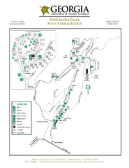
Amicalola Falls State Park Map
Map of park with detail of trails and recreation zones
692 miles away
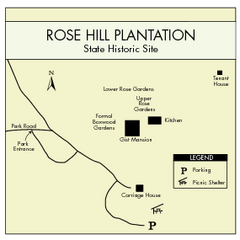
Rose Hill Plantation Map
Clear and simple state park map.
694 miles away

Caribbean Islands Map
Includes general maps of Caribbean, St. Vincent, St. Lucia, Guadeloupe, Cuba, Southern Florida...
694 miles away
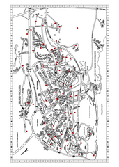
Clemson University Map
694 miles away
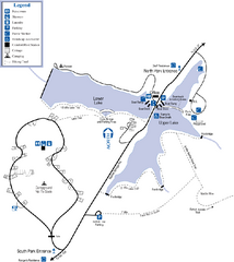
James H. Floyd State Park Map
Map of park with detail of trails and recreation zones
695 miles away
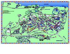
Clemson University Map
Clemson University Campus Map. All buildings shown.
695 miles away
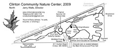
Clinton Community Nature Center Map
A relaxing walk through the Clinton Community Nature Center.
700 miles away
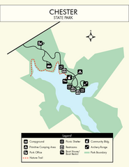
Chester State Park Map
Simple and clear state park map.
702 miles away
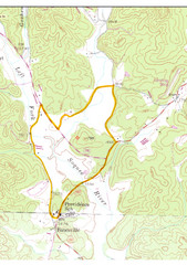
Soque River Ramble 6K Run & Walk Course...
Soque River Ramble 6K Race Course Elevation Map in Georgia.
702 miles away
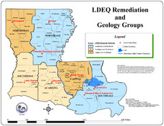
Louisiana Map
District and geological map of Louisiana
703 miles away
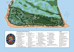
Bald Head Island Tourist Map
703 miles away
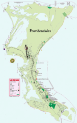
Providenciales Island Map
Overview map of island of Providenciales, Turks and Caicos.
704 miles away
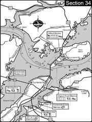
Guntersville, AL Tennessee River/Lake...
For boating navigational information and river road travel along the Tennessee River. This section...
704 miles away
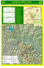
Noxubee Hills Trail Map
Shows singletrack and doubletrack trails in the Noxubee Hill trail system in Tombigbee National...
704 miles away
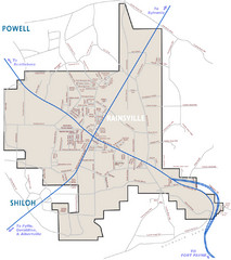
Rainsville Street Map
Chamber of Commerce Business Guide
705 miles away
Natchez National Historical Park Official Map
Official NPS map of Natchez National Historical Park in Mississippi. From park brochure. These...
706 miles away
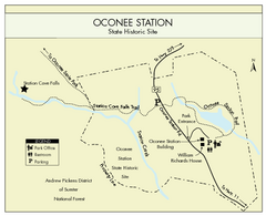
Oconee Station Map
Clear and simple map of Oconee State Park's station.
707 miles away
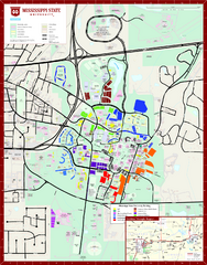
Mississippi State University Map
708 miles away
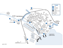
Moccasin Creek State Park Map
Map of park with detail of trails and recreation zones
708 miles away
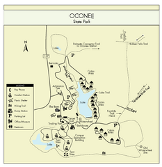
Oconee State Park Map
Beautiful state park clearly mapped with legend.
708 miles away
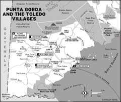
Punta Gorda and the Toledo villages Map
708 miles away
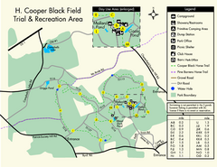
H. Cooper Black Field Map
Detailed map and legend of this state park.
710 miles away
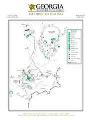
Fort Mountain State Park Map
Map of park with detail of trails and recreation zones
710 miles away
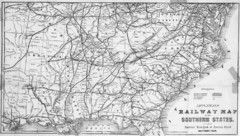
1865 Southern US States Railway Map
Guide to railroad travel in the southern United States
710 miles away
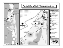
Fort Fisher State Recreation Area map
Detailed recreation area for Fort Fisher State Recreation Area in North Carolina
711 miles away

Guntersville Lake Map
712 miles away
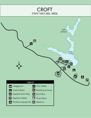
Croft State Park Map
Simple state park map.
712 miles away
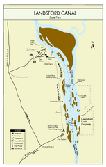
Landsford Canal State Park Map
Clear map with detailed legend marking this beautiful state park.
712 miles away
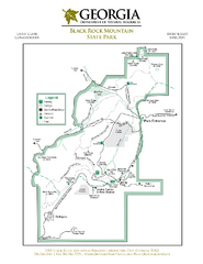
Black Rock Mountain State Park Map
Map of park with detail of trails and recreation zones
712 miles away
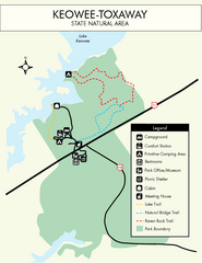
Keowee Toxaway State Park Map
Clear and detailed map of this wonderful state park.
713 miles away
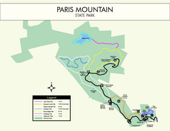
Paris Mountain State Park Map
Clearly labeled map of this beautiful state park.
713 miles away
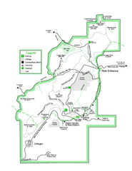
Black Rock State Park map
Detailed recreation map for Black Rock State Park in Georgia
713 miles away
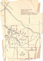
Hamilton Park and Lake Map
flood maps, elevation, survey map for Hamilton Park in Lauderdale County, Miss.
714 miles away
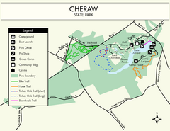
Cheraw State Park Map
Clear and descriptive state park map.
714 miles away
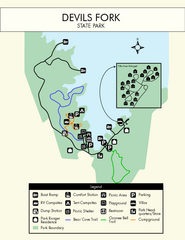
Devils Fork State Park Map
Clearly marked state park map.
714 miles away
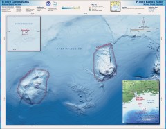
Flower Garden National Marine Sanctuary Map
Official map of the Flower Garden National Marine Sanctuary 110 miles off the coast of Texas...
715 miles away

