Charleston Tourist Map
Tourist map of Charleston, South Carolina. Shows activities and museums.
592 miles away
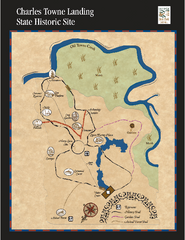
Charles Towne Landing State Park Map
This small park is full of beautiful hiking trails set in a natural setting.
592 miles away
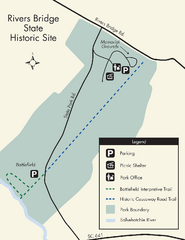
Rivers Bridge State Park Map
Nice and clear map of this history state park.
593 miles away
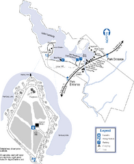
Hamburg State Park Map
Map of park with detail of trails and recreation zones
593 miles away
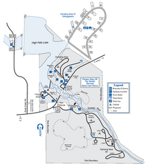
High Falls State Park Map
Map of park with detail of trails and recreation zones
595 miles away

Charleston, South Carolina City Map
596 miles away

Turneffe Islands atoll Map
596 miles away
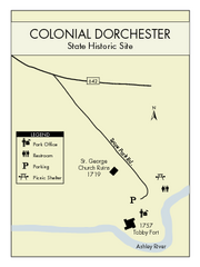
Colonial Dorchester State Park Map
Office, parking, picnic sites and more are all clearly marked on this state park site.
598 miles away
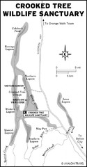
Crooked Tree Wildlife Sanctuary Map
599 miles away
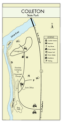
Colleton State Park Map
Detailed map and map legend of this beautiful state park.
599 miles away
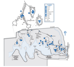
Indian Springs State Park Map
Map of park with detail of trails and recreation zones
600 miles away
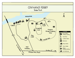
Givhans Ferry State Park Map
Map marked with shelter, phone, restrooms, picnic and more.
600 miles away
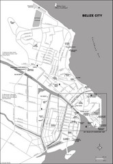
Belize City map
Detailed map of the Belize City road system.
600 miles away
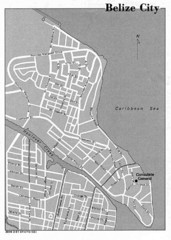
Belize City - U.S. Department of State, 1981 Map
601 miles away
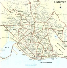
Kingston Street Map
Street map of city of Kingston, Jamaica.
601 miles away

Summerville, South Carolina Tourist Map
601 miles away
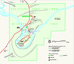
Horseshoe Bend National Military Park Official Map
Official NPS map of Horseshoe Bend National Military Park in Alabama. Horseshoe Bend National...
603 miles away
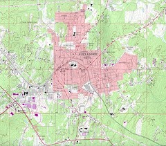
Alexander City Map
Topography city map of Alexander City, Alabama
604 miles away
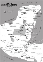
Mayan Archaeological sites in Belize Map
605 miles away
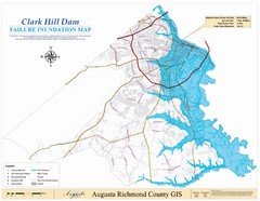
Richmond County Failure Inundation Map
Map of the flood water failure inundation of Augusta Richmond county, Georgia. Includes detailed...
606 miles away
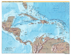
Central America and Caribbean Map
Map of Central America and Caribbean
606 miles away
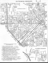
Hattiesburg, Mississippi City Map
606 miles away
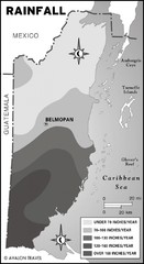
Belize rainfall Map
607 miles away

Port Antonio road Map
608 miles away
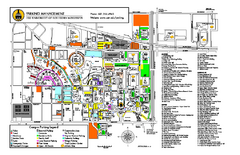
University of Southern Mississippi Map
609 miles away
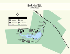
Barnwell State Park Map
Simple map of this state park.
609 miles away
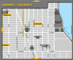
Gramercy Hotel Map
609 miles away

Baracoa Map
610 miles away
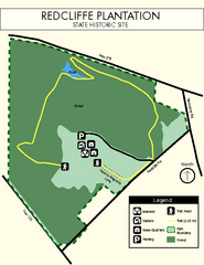
Redcliffe Plantation State Park Map
Clear map of this wonderful state park with a beautiful natural setting.
611 miles away
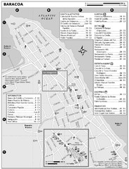
Baracoa Map
611 miles away

Lake Oconee Map
611 miles away
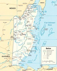
Belize Map
Detailed map of Belize showing cities, roads, railroads and boundaries.
611 miles away
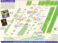
Oak Alley Plantation Map
Visitor's map of Oak Alley Plantation in Vacherie, Louisiana. Scan from old brochure.
612 miles away
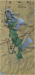
Antietam National Battelfield Map
612 miles away
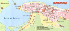
Baracoa Tourist Map
Tourist street map of town
613 miles away
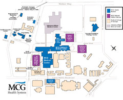
MCG Health System--Medical College of Georgia...
Color-coded map of all buildings on the Medical College of Georgia associated with the MCG Health...
614 miles away
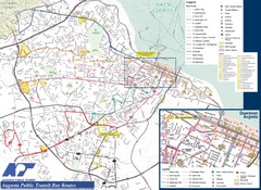
Augusta Public Transit Routes Map
Transit Route Map of the town of Augusta. Includes all streets, some important buildings, and a...
614 miles away
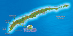
Roatan Island Tourist Map
614 miles away

