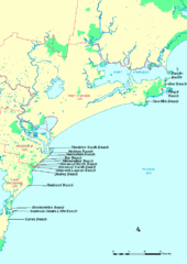
Hunter Ocean, Australia Beach Tourist Map
1222 miles away
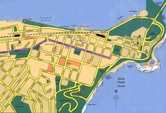
Newcastle City Map
City map of Newcastle
1222 miles away
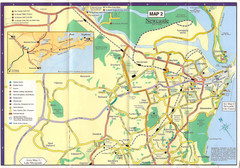
Newcastle Map
1222 miles away
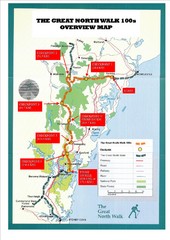
Great North Walk 100s Overview Map
Trail map for the Great North Walk 100's with distances and checkpoints marked
1224 miles away
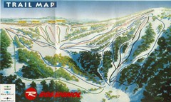
Selwyn Snowfields Ski Trail Map
Trail map from Selwyn snowfields.
1225 miles away
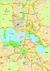
Canberra Street Map
1225 miles away
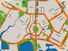
Canberra Hotels Map
1226 miles away
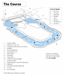
Penrith Whitewater Stadium Course Map
Whitewater rapids map of Penrith Whitewater Stadium, the competition venue for the canoe/kayak...
1228 miles away

The Great North Walk Trail Map
The Great North Walk connects New South Wales’ two largest cities from the obelisk in...
1230 miles away
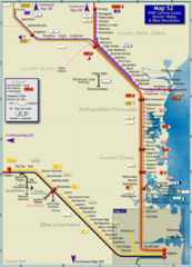
Hunter Valley Rail Map
Map of rail system throughout Hunter Valley, New South Wales Central Coast, and Blue Mountains
1243 miles away
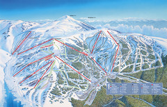
Falls Creek Ski Trail Map
Trail map from Falls Creek.
1247 miles away

Mount Hotham Ski Trail Map
Mount Hotham Alpine Resort ski trail map
1249 miles away
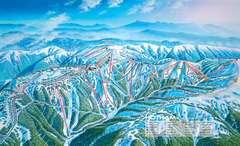
Mount Hotham Ski Trail Map
Trail map from Mount Hotham, which provides downhill, night, nordic, and terrain park skiing. It...
1250 miles away

Port Macquarie Map
1256 miles away
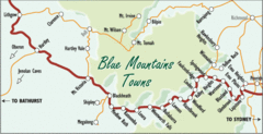
Blue Mountains' Towns Map
Simple map clearly marking each town in the Blue Mountain area.
1257 miles away
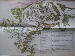
Mount Baw Baw Ski Trail Map
Trail map from Mount Baw Baw.
1261 miles away
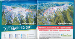
Mount Buller Ski Trail Map
Trail map from Mount Buller.
1276 miles away
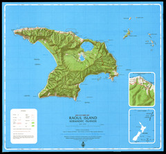
Raoul Island Map
Topographical map of Raoul Island in the Kermadec Islands, New Zealand
1286 miles away
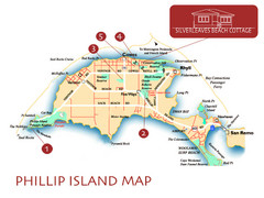
Phillip Island, Australia Beach Map
1286 miles away
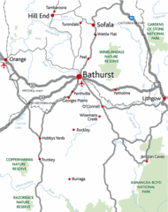
Bathurst District Map
Simple map marking the borders of Bathurst.
1288 miles away
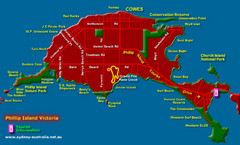
Phillip Island Tourist Map
Places of interest.
1289 miles away
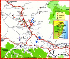
Upper Hunter Valley Tourist Map
Tourist map of Upper Hunter Valley around Muswellbrook, NSW, Australia. Shows horse studs, tourist...
1291 miles away
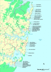
New South Wales, Australia Beach Tourist Map
1294 miles away
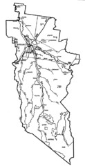
Wangaratta City Map
Map of Rural City of Wangaratta, Australia. Describes all roads, highways, rivers and towns.
1311 miles away
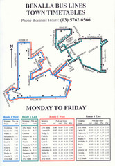
Benalla Bus Lines Map
Bus timetable and route map for town of Benalla
1320 miles away
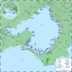
Port Phillip Bay Tourist Map
Tourist map of Port Phillip Bay. Shows points of interest.
1322 miles away
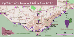
Wineries on Great Ocean Road, Australia Map
1324 miles away
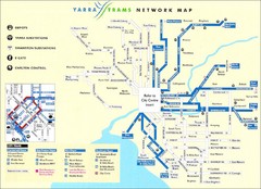
Melbourne Tram Map
Map of Melbourne tram system
1324 miles away
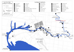
Yarra River Map
Map of Yarra River in Melbourne, Australia shows landings and landmarks.
1324 miles away
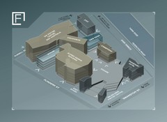
Federation Square Map
Map of Fed Square, Melbourne, Australia. Shows 3D views of buildings.
1324 miles away
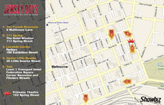
Downtown Melbourne Restaurant Map
1324 miles away
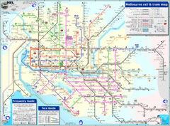
Melbourne Rail and Tram Map
Transportation in Melbourne
1324 miles away
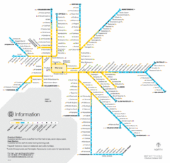
Melbourne Train Map
1324 miles away
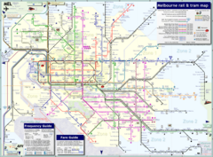
Melbourne Train & Tram Map
Map of Melbourne public transit
1324 miles away
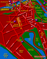
Melbourne Hotel Map
1324 miles away
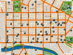
Melbourne Hotel Map
1324 miles away
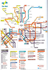
Melbourne Public Transportation Map
1324 miles away
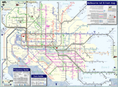
Melbourne, Australia Public Transportation Map
A detailed public transportation map of Melbourne, Australia.
1324 miles away

