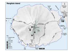
Rangitoto Island Map
Overview map of Rangitoto Island, New Zealand, a volcanic island public reserve.
627 miles away
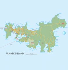
Waiheke Island Map
Reference map of Waiheke Island in the Hauraki Gulf of New Zealand. From waihekenz.com:"...
632 miles away
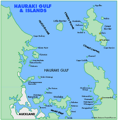
Haukari Gulf Map
634 miles away
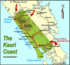
Kauri Coast Map
Map of Kauri Coast region
644 miles away
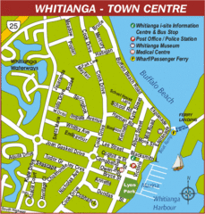
Whitianga Map
Street map of town center
647 miles away
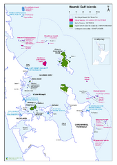
Hauraki Gulf Islands Nature Reserves Map
Shows nature reserves, marine reserves, and boundary of Hauraki Gulf Marine Park.
654 miles away
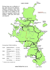
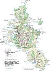
Great Barrier Island Map
On this website you will find comprehensive information about Great Barrier Island including all...
677 miles away
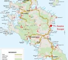
Great Barrier Island Map
677 miles away
Great Barrier Island Map
677 miles away
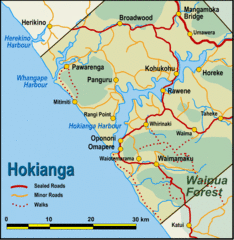
Hokianga Map
Map of Hokianga region, with detail of major towns
681 miles away
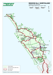
Northland Map
Regional map of Northland, including highway detail
687 miles away
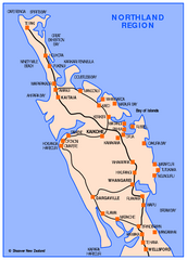
Northland Map
Map of Northland / Bay of Islands New Zealand
687 miles away
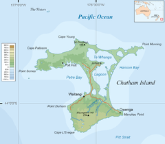
Chatham Island Map
722 miles away
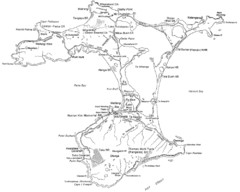
Chatham Island Map
729 miles away
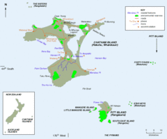
Chatham Island Map
729 miles away
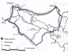
Cape Reinga Coastal Walkway Map
Trail map of the Cape Reinga Coastal Walkway
732 miles away
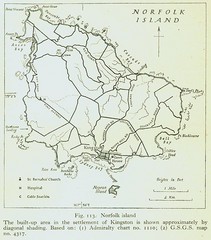
Historic Norfolk Island Map
Historic guide to Norfolk Island
1078 miles away
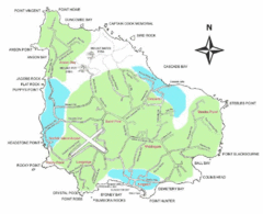
Norfolk Island Map
Guide to Norfolk Island, a territory of Australia
1078 miles away
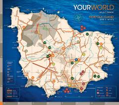
Norfolk Island tourist Map
1080 miles away
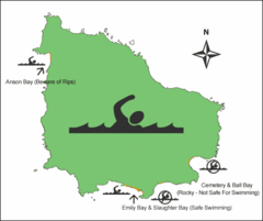
Norfolk Island Swim Zone Map
This helpful map shows safe and not safe swim areas on this amazing island.
1080 miles away
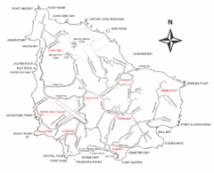
Norfolk Island Map
This map shows the entire Island including the various beaches and the town centre.
1080 miles away
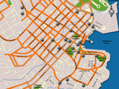
Hobart Hotel Map
1080 miles away
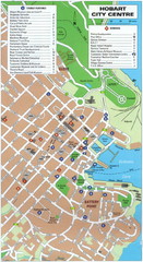
Hobart Tourist Map
Tourist map of the city center of Hobart, Tasmania. Shows tourist features and services.
1080 miles away
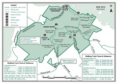
Norfolk Island National Park Trail Map
1080 miles away
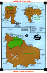
Norfolk Island dive sites Map
1081 miles away
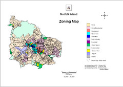
Norfolk Island zoning Map
1082 miles away
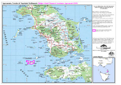
Flinders Island Map
Shows badger island financial assistance agreement 2000. Also shows Cape Barren Island
1107 miles away
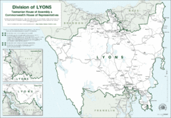
Lyons Political Divisions Map
1121 miles away
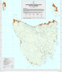
Tasmanian Soil Map
Distribution of Acid Sulphate Soils in Tasmania
1151 miles away
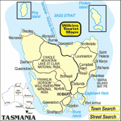
Tasmania Tourist Map
1160 miles away
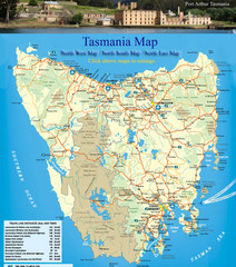
Tasmania Map
Detailed map of island of Tasmania, Australia. Shows National Parks. Scanned.
1160 miles away
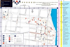
Downtown Devonport Mobility Map
Devonport City Map that is designed to assist disabled people navigate the Devonport central...
1162 miles away

City of Shoalhaven Map
Tourist map for Burrill Lake Tourist Park in New South Wales, Australia.
1162 miles away

Booderee National Park Trail Map
Trail map of walking trails in Booderee National Park, Australia
1163 miles away
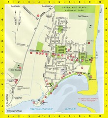
Shoalhaven Heads Town Map
1174 miles away
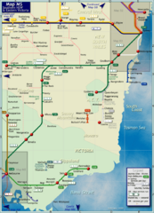
Southern New South Wales Rail Map
Map of long-distance rail system throughout Southwestern NSW and Eastern Victoria
1191 miles away
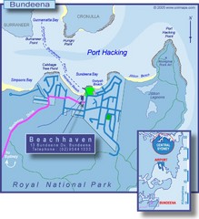
Bundeena Tourist Map
1192 miles away
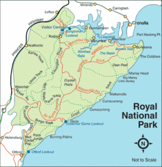
Royal National Park, Australia Tourist Map
1193 miles away
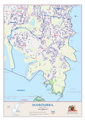
Maroubra Street Map
1194 miles away
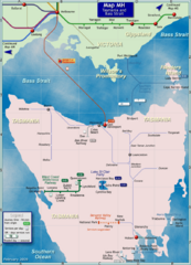
Tasmania Rail Map
Map of long-distance rail system from Melbourne to Tasmania
1194 miles away

