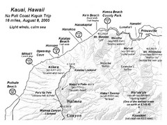
Na Pali Coast Kayak Map
Guide to kayaking the Na Pali coast in Hawaii
5035 miles away
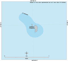
Gardner Pinnacles Island Map
5035 miles away

Oahu North Shore Tourist Map
Shows tourist points of interest on Oahu's North Shore, Hawaii. Home of Waimea Bay Beach Park...
5035 miles away
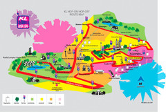
Kuala Lumpur Shuttle Map
5036 miles away

North Shore of Kauai Map
Shows towns and landmarks along Highway 56
5036 miles away
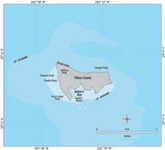
Nihoa Island Tourist Map
5038 miles away
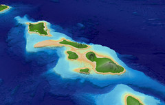
Central Hawaiian Islands Bathymetry Map
5038 miles away

North Kauai Map
Tourist guide to North Kauai, Hawaii
5038 miles away
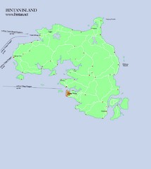
Bintan Island Map
Overview map of Bintan Island
5038 miles away
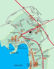
Kailua Bay, Hawaii Tourist Map
5041 miles away
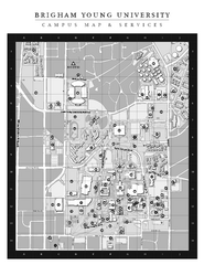
Brigham Young University Map
5041 miles away
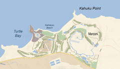
Turtle Bay - Oahu - Map-illustrator.com Map
Turtle Bay Oahu
5043 miles away
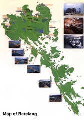
Barelang Bridge Map
Shows ferry terminals, airport, and chain of 6 bridges (with photos) known as the Barelang Bridge...
5044 miles away
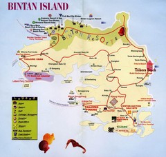
Bintan Island, Indonesia Beach Tourist Map
5047 miles away
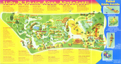
Splash Island Water Park Map
Map of Splash Island waterpark in Biñan, Laguna, Philippines . Scanned.
5049 miles away
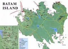
Batam Tourist Map
Tourist map of Batam island, Indonesia. Shows all ferry terminals, airport, and other useful info...
5063 miles away
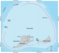
Midway Atoll Islands Tourist Map
5063 miles away
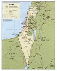
Israel Country map
5074 miles away
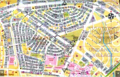
Makati City Tourist Map
Makati City, Philippines tourist map
5077 miles away
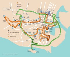
Singapore Tour Bus Map
5080 miles away
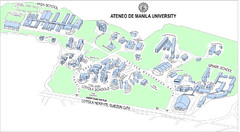
Ateneo de Manila University Loyola Heights Campus...
Campus map of Loyola Heights Campus at Ateneo de Manila University
5080 miles away

Changi Beach Park Map
5080 miles away
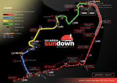
Sundown Marathon Route Map
Map of Adidas Sundown Marathon route for 2009
5081 miles away
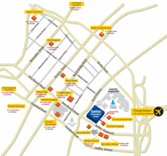
Serangoon Tourist Map
5081 miles away
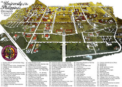
University of Phillippines Campus Map
5081 miles away
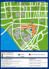
Suntec City map
5081 miles away
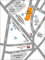
IP Academy Location Map
5081 miles away
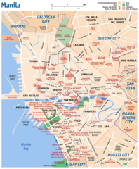
Manila Tourist Map
5081 miles away
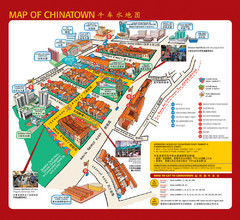
Singapore Chinatown Map
Map of the marktes, restaurants and hotels in Singapore's Chinatown.
5081 miles away
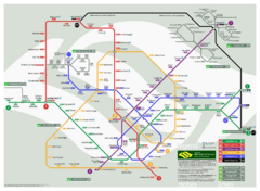
Singapore Rail Map
The easiest way to travel around Singapore, even from the airport!
5082 miles away
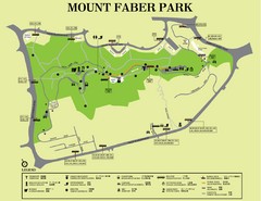
Mount Faber Park Map
Guide to Mount Faber Park in Singapore
5082 miles away
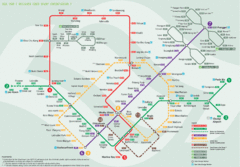
Bus Line Map
5082 miles away
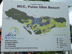
Pulao Ubin Island Trail Map
Trail map of Pulao Ubin Island, Singapore. Shows trails and facilities. From photo of sign.
5083 miles away
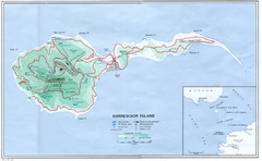
Corregidor Island Map
Elevation map with major roads and installations of Corregidor Island Battlefield Memorial
5083 miles away
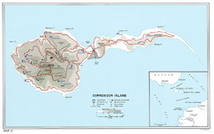
Corregidor Island WWII Map
Shows World War II fortifications on Corregidor Island, Philippines
5083 miles away
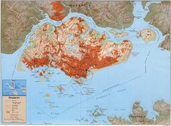
Singapore Built Up Area Map
Guide to developed areas of Singapore
5084 miles away
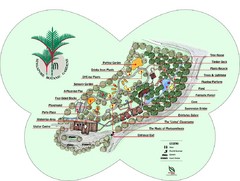
Singapore Botanic Gardens Map
Map of the Singapore Botanical Gardens. Shows the contents of the garden with locations of parking...
5084 miles away
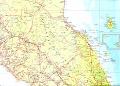
Johor Map
5085 miles away
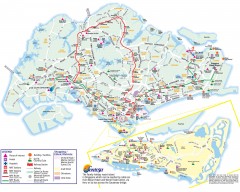
Singapore Tourist Map
Shows places of interest, MRT stations and routes, and shopping/ethnic districts. Inset of Sentosa...
5086 miles away
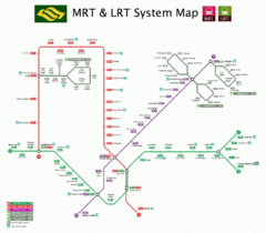
Singapore Transit Map
5086 miles away

