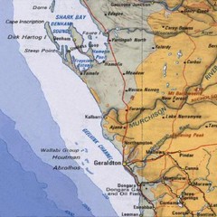
Geraldton, Australia Region Map
3138 miles away
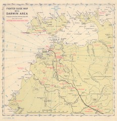
Darwin Area Fighter Guide Map
Fighter Guide Map of Airfields around Darwin
3155 miles away
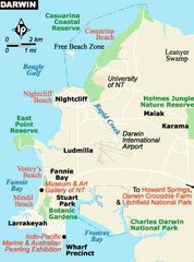
Darwin, Australia City Map
3158 miles away
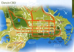
Darwin, Australia City Map
3158 miles away
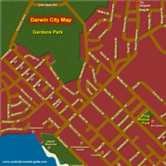
Inner Darwin, Australia City Map
3158 miles away
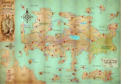
Mapa imaginario del Pais de HASARD Map
3167 miles away
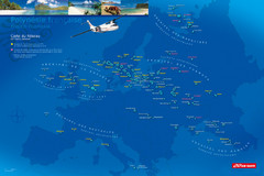
French Polynesia Map
Show islands of French Polynesia overlaid on outline map of Europe. Shows Air Tahiti flight...
3168 miles away
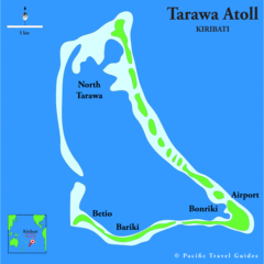
Tarawa atoll Map
3198 miles away
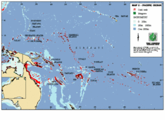
East Asian Pacific Ocean Map
Map of the Pacific Ocean surrounding East Asian Islands from the Solomon Islands to USA Hawaii.
3201 miles away
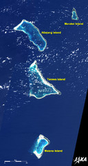
Kiribati Islands Map
Kiribati satellite image of Kiribati Islands of Tarawa Island, Abaiang Island, Marakei Island, and...
3202 miles away
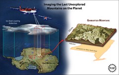
Gamburtsev Subglacial Mountains Map
First ever map of the last unexplored mountains on the planet, the Gamburtsev Subglacial Mountains...
3223 miles away
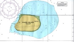
Baker Island Nautical Map
Nautical map of US unincorporated territory of Baker Island.
3229 miles away
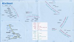
Kiribati Overview Map
Overview map of Pacific country of Kiribati. Kiribati is a Micronesian country made up of 33 low...
3252 miles away
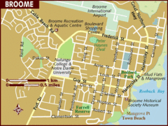
Broome, Australia City Map
3254 miles away
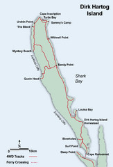
Dirk Hartog Island Map
3337 miles away
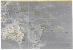
Oceania Overview Map
Overview physical relief map of Oceania. Shows major Oceania Pacific Ocean island groups. Map...
3340 miles away
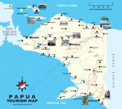
Papua Tourist Map
Tourist map of Papua, Indonesia. Shows photos of some locations.
3341 miles away
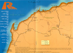
Karratha Road Map
Road Map shows all roads around Karratha, and the distances in Kilometers to other towns.
3358 miles away
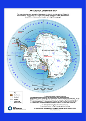
Antarctica Overview Map
Overview map of Antarctica shows geological features and US and UK research stations
3359 miles away
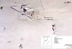
Amundsen Scott South Pole Station Aerial Map
Aerial photo map of the US Amundsen Scott South Pole Station at the South Pole, Antarctica
3394 miles away
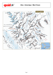
Mont Vinson Map
Map of Vinson Massif mountain range, the highest range in Antartica, 16,050 ft high. Located about...
3417 miles away
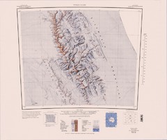
Vinson Massif Topo Map
Topo map of Vinson Massif, the highest mountain in Antarctica at 16067 ft / 4897 m. One of the...
3430 miles away
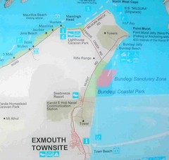
Exmouth, Australia Beach Map
3439 miles away
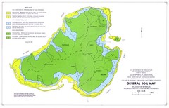
Kosrae Island Soil Map
General soil map of Kosrae Island
3475 miles away

Jaliut atoll Map
3503 miles away

US outlying minor properties Map
3531 miles away
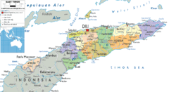
East Timor political Map
3543 miles away
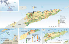
East Timor Map
Four part map shows biomes, offshore Kelp oil deposits, languages, and topology of East Timor
3564 miles away
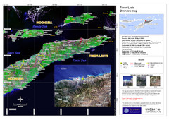
Timor-Leste map
3564 miles away
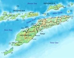
East Timor Map
3568 miles away
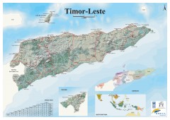
East Timor Relief Map
Shaded relief map of East Timor. Inset map shows location in Southeast Asia. Additional inset...
3568 miles away
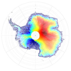
Antarctica Land and Ice Elevation Map
The colors on the map above represent ICESat’s measurements of Antarctica’s topography...
3571 miles away

Arno atoll Map
3580 miles away
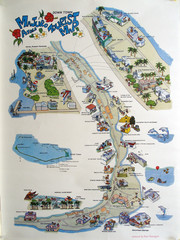
Majuro Atoll Downtown Tourist Map
Tourist map of Majuro Atoll in the Marshall Islands. Shows all points of interest.
3581 miles away

Majuro atoll Map
3583 miles away
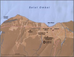
Dili Map
3591 miles away
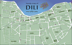
Dili Street Map
Street map of Dili, the capital of East Timor
3591 miles away
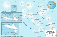
Marshall Islands Map
3592 miles away
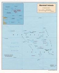
Marshall Islands Map
Guide to the island country of Marshall Islands
3606 miles away

