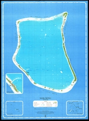
Nukunonu Atoll Map
2711 miles away
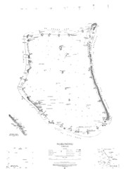
Nukunono atoll Map
2712 miles away

Niutao island Map
2713 miles away
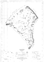
Fakaofo atoll Map
2713 miles away
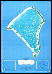
Fakaofo Map
2713 miles away
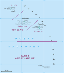
Tokelau Islands Map
Guide to the islands of Tokelau, a territory of New Zealand comprised of three coral atolls, also...
2715 miles away
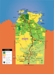
Northern Territory Map
Map of Northern Territory, Australia shows roads, national parks, and aboriginal lands.
2723 miles away
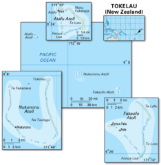
Tokelau islands Map
2723 miles away
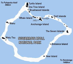
Suwarrow atoll National Park Map
2725 miles away
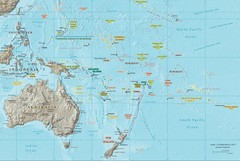
Oceania Map
Map of Oceania. Shows all island groups in the Pacific Ocean
2727 miles away

Nanumea atol Map
2730 miles away

Ames Range Topo Map
Topo relief map of the Ames range in western Marie Byrd Land, Antarctica. Shows Mt. Andrus 9,770...
2733 miles away
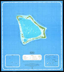
Atafu Map
2734 miles away
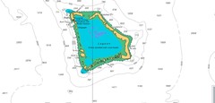
Atafu atoll Map
2734 miles away

Denmark, Western Australia East District Guide Map
The eastern district of Denmark, Western Australia
2770 miles away

Denmark, Western Australia Guide Map
Locations and areas in Denmark, Western Australia
2770 miles away
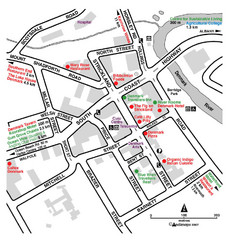
Denmark Western Australia Tourist Map
Tourist map of town of Denmark, Western Australia. Shows accommodations and restaurants.
2770 miles away
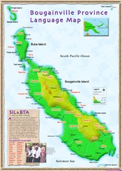
Bougainville Province language Map
2788 miles away
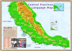
Central province language Map
2815 miles away
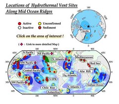
Global Map of Hydrothermal Vents
Map of underwater hydrothermal vents. Could not get to original to get more detailed areas. Vents...
2830 miles away

Bruce Rock Town Map
2843 miles away

Western Australia State Barrier Fence Map
Map shows the Rabbit barrier fence built in 1901 in Burracoppin and Merredin just east of Perth.
2845 miles away
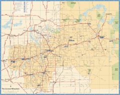
Wheatbelt Central Western Australia Map
Map of the central wheatbelt area near Merredin, Western Australia
2851 miles away
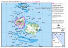
Badu Island and Moa Island Map
2866 miles away
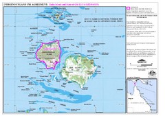
Badu Island Land Use Map
Land use agreement map on Badu Island in the Torres Strait.
2866 miles away
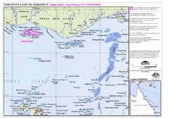
Torres Strait Land Use Map
Map of land use agreement for Boigu Island. Shows islands in the Torres Strait between Papua New...
2882 miles away
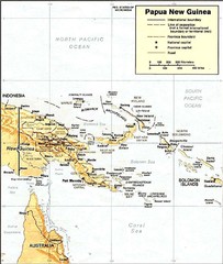
Papua New Guinea topographic Map
2912 miles away
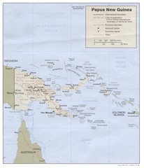
Papua New Guinea Map
2914 miles away
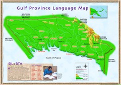
Gulf Province language Map
2918 miles away
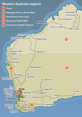
Western Australia Map
Map of Western Australia region with detail of districts
2920 miles away
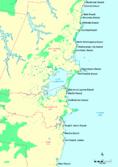
Illawarra, Australia Beach Tourist Map
2932 miles away
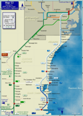
Illawarra Rail Map
Map of rail system throughout Illawarra, New South Wales South Coast, and Southern Highlands
2942 miles away
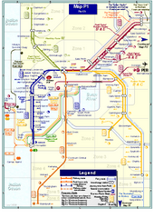
Perth Rail Map
Map of rail system throughout Perth and surrounding area
2952 miles away
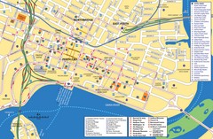
Perth Street Map
Tourist map of Perth, with detail of streets, hotels and tourist attractions
2952 miles away
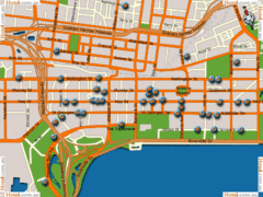
Perth Hotel Map
2952 miles away
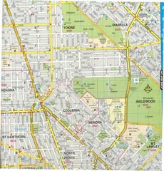
Central Perth, Australia City Map
2952 miles away
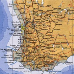
Perth, Australia Region and City Map
2952 miles away
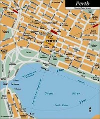
Perth, Australia City Map
2952 miles away

