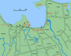
Apia Road Map
Simple map marking rivers and roads.
2416 miles away
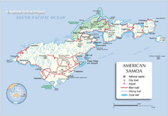
Tutuila Island Map
2417 miles away
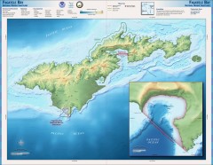
Fagatele Bay National Marine Sanctuary Map
Topographic and bathymetric map of Fagatele Bay National Marine Sanctuary in American Samoa.
2417 miles away
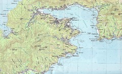
Pago Pago Map
2418 miles away
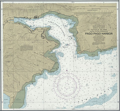
Pago Pago Harbor Tourist Map
2419 miles away
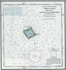
Rose Atoll Tourist Map
2422 miles away
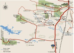
Alice Springs to Uluru Map
2434 miles away
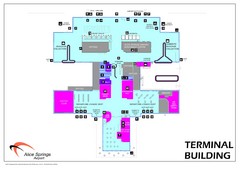
Alice Springs Airport Map
Terminal map of Alice Springs Airport (ASA), Australia.
2435 miles away
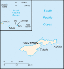
American Samoa Tourist Map
2435 miles away
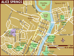
Alice Springs, Australia Tourist Map
2441 miles away
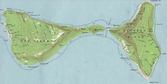
Ofu Olosega Islands Map
Topo map of islands of Ofu and Olosega, American Samoa
2456 miles away
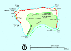
Manu'a Island Map
National Park of American Samoa
2457 miles away
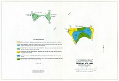
Manu'a Islands Tourist Map
2457 miles away
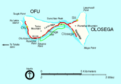
Ofu and Olosega Island Tourist Map
2458 miles away
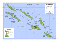
Soloman Islands Map
2475 miles away
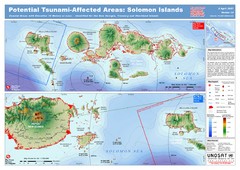
UNOSAT Solomon Islands Elevation Map
This map illustrates those areas 10 meters and less in elevation (marked in red) potentially...
2475 miles away
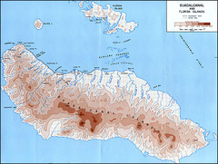
Guadalcanal Island Map
2480 miles away
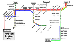
Hiroshima Train Map
Train lines in Hiroshima, English.
2491 miles away
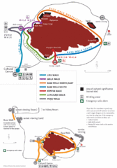
Uluru Walks Map
Shows walks around Uluru (aka Ayer's Rock) in the Outback
2492 miles away
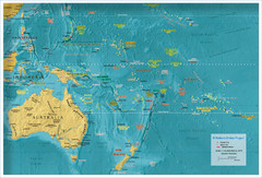
Oceania Map
2496 miles away
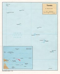
Tuvalu Political Map
Guide to the island nation of Tuvalu
2525 miles away
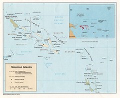
Solomon Islands Map
2531 miles away

Northern Territory Australia Tourist Map
2541 miles away
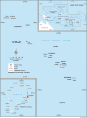
Tuvalu Map
Guide to Tuvalu, previously known as Ellice Islands, a Polynesian island nation
2569 miles away

Funufuti atoll Map
2570 miles away

Relative size of Tuvalu Islands and atolls Map
2573 miles away
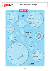
Tuvalu Regional Map
Map of collection of islands with detail of various regions
2573 miles away
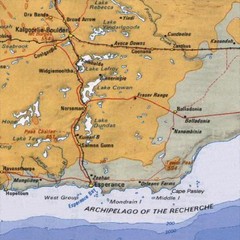
Esperance, Australia Tourist Map
A map of the Esperance region in Australia.
2586 miles away
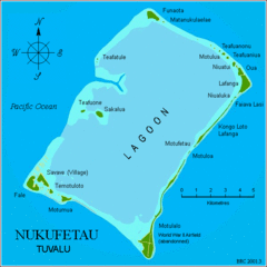
Nukufetau atoll Map
2598 miles away
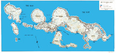
New Georgia Group War Map
Shows Allied landings 1943
2610 miles away

Swain's Island Map
2610 miles away
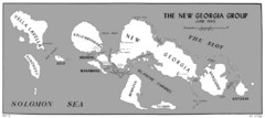
New Georgia Islands Map
2614 miles away
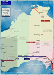
Central Australia Rail Map
Map of long-distance rail system throughout Central and Northern Australia
2629 miles away
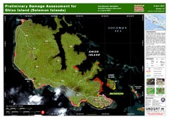
Ghizo Island Damage Map
Solomon Islands: Preliminary Damage Assessment for Ghizo Island (as of 8 Apr 2007)
2631 miles away

Nui atoll Map
2636 miles away
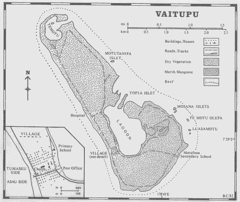
Vaitupu atoll Map
2637 miles away
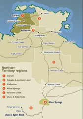
Northern Territory Map
Map of Northern Territory region wtih detail of districts
2688 miles away
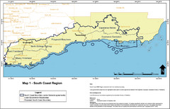
Australia South Coast Region Map
The South Coast region of Australia and proposed new boundaries by Natural Resources Management...
2692 miles away
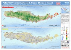
Tunami Affected Areas of Choiseul Island Map
The map illustrates the areas 10m and below potentially affected by the tsunami on the coast of...
2697 miles away

