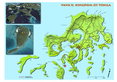
Vava'u island Map
2051 miles away
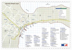
Neiafu Street Map
Neiafu Street and visitor Map. Shows locations of most accommodations, businesses and marine...
2052 miles away
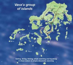
Vava'u Island group Map
2052 miles away
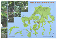
Vava'u Island Map
Shows roads and common plants
2053 miles away
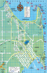
Bowen Map
Tourist street map
2073 miles away
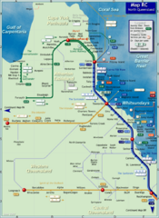
Northern Queensland Rail Map
Map of long-distance rail system throughout Northern Queensland
2106 miles away
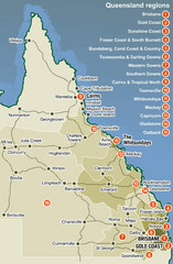
Queensland Map
Map of Queensland region with detail of districts
2109 miles away
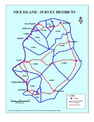
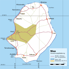
Niue Survey Districts Map
2151 miles away
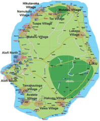
Niue Island Map
2151 miles away
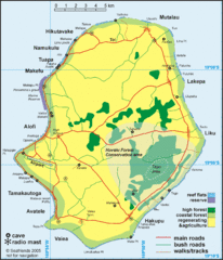
Niue Map
Map of island of Niue. Shows roads, walking/tracks, bush walks, and other points of interest.
2151 miles away
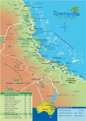
Townsville Map
Tourist map of Townsville
2166 miles away
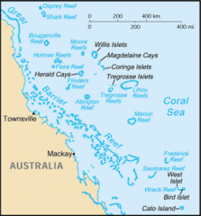
Coral Sea Islands Tourist Map
2170 miles away
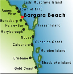
Bargara Beach, Australia Tourist Map
2175 miles away
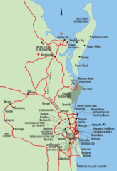
Queensland, Australia Beach Map
2175 miles away
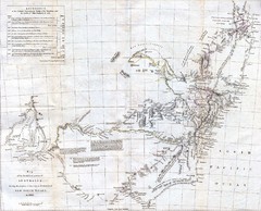
1832 South Australia Historical Map
An 1832 map of Southern Australia
2188 miles away
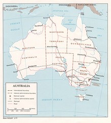
Australia Map
Map of Austraila showing territory boundaries, major cities and railways.
2197 miles away
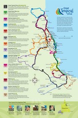
Townsville Regional Tourist Map
2204 miles away
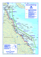
Great Barrier Reef Marine Park map
Official Great Barrier Reef Marine Park Authority general reference map of the Great Barrier Reef...
2221 miles away

Futuna and Alofi blank relief Map
2232 miles away

Wallis and Futuna Map
2233 miles away

Wallis and Futuna Map
2233 miles away

Wallis and Futuna Map
2234 miles away

Futuna Island Map
2234 miles away
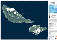
Futuna and Alofi Satellite Map
2234 miles away

Wallis and Futuna Map
2234 miles away
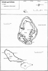
Wallis and Futuna Map
Guide to the islands of Wallis and Futuna
2237 miles away
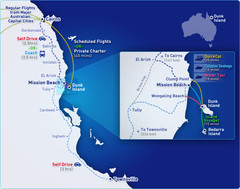
Dunk Island Resort - Great Barrier Reef...
Map of Dunk Island. Dunk Island resort is located in Queensland on the Great Barrier Reef.
2266 miles away
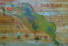
Dunk Island Tourist Map
Tourist map of Dunk Island and Family Islands National Park. Shows trails, reefs, and other islands...
2266 miles away
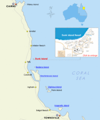
Dunk Island, Australia Beach Map
2267 miles away
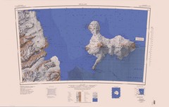
Ross Island Topo Map
Topo map of Ross Island, Antarctica. Shows US Mcmurdo Station, New Zealand Scott Base and volcanic...
2268 miles away
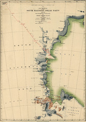
Map of Shackleton’s 1907-1909 Antarctic...
Eric Stewart Marshall's map of Shackleton's "Nimrod" expedition of 1907-09.
2276 miles away
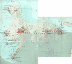
Ross Island Map
Topo map of Ross Island, home of the US McMurdo Station, Mt. Erebus, Mt. Terror, Cape Evans, Cape...
2281 miles away

Islands of Wallis and Futana Map
2282 miles away
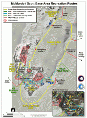
McMurdo and Scott Base Area Recreation Route Map
Shows roads around McMurdo Station (US) and Scott Base (New Zealand) Antarctic research stations on...
2288 miles away
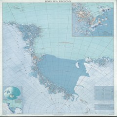
Ross Sea Regions Map
Physical relief map of the Ross Sea regions. Shows Victoria Land, Ross Sea, McMurdo Sound, Ross Ice...
2301 miles away
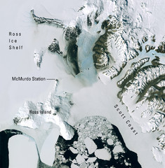
Ross Island McMurdo Station Area Landsat Map
Landsat mosaic map of the Ross Island / Ross Ice Shelf / U.S. McMurdo Station area
2304 miles away
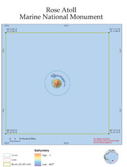
Rose Atoll National Marine Monument Tourist Map
2308 miles away
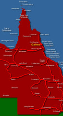
West Queensland Map
Map of West Queensland showing cities and islands
2324 miles away
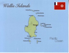
Wallis Islands Postcard Map
2339 miles away

