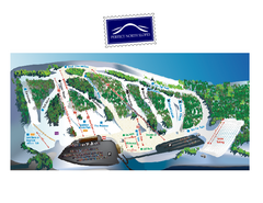
Perfect North Slopes Ski Trail Map
Trail map from Perfect North Slopes, which provides downhill, nordic, and terrain park skiing. It...
85 miles away
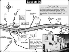
Ohio River at Madison, IN and Milton, KY Map
This is a page from the Ohio River Guidebook. The map shows important information for boaters and...
85 miles away
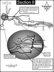
Markle, IN Wabash River rapids Map
This is a page from the Wabash River Guidebook. The map shows important information for boaters and...
92 miles away
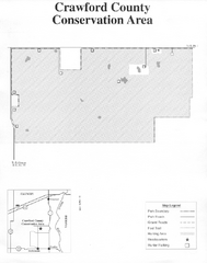
Crawford County, Illinois Site Map
92 miles away

Walnut Point State Park, Illinois Site Map
93 miles away
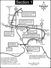
Fort Recovery, OH & beginning of the Wabash...
This is a page from the Wabash River Guidebook. The map shows important information for boaters and...
93 miles away
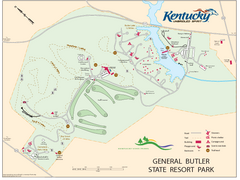
General Butler State Resort Park Map
Map of trails, facilities and golf course in General Butler State Resort Park.
95 miles away
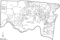
Hamilton, Ohio City Map
95 miles away
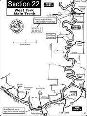
Petersburg, IN White River West Fork Map
This is a page from the White River Guidebook. The map shows important information for boaters and...
95 miles away
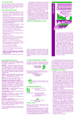
Charlestown State Park Map
95 miles away

Vicennes and Knox County Indiana Visitor Map
Street map of Vicennes with maps of the entire state and county as well.
97 miles away
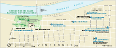
George Rogers Clark National Historical Park...
Official NPS map of George Rogers Clark National Historical Park in Indiana. Map shows all areas...
98 miles away
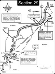
Vincennes, IN/ St. Francisville, IL Wabash River...
This is a page from the Wabash River Guidebook. The map shows important information for boaters and...
99 miles away
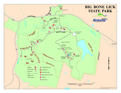
Big Bone Lick State Park Map
Map of trails and facilities for Big Bone Lick State Park.
101 miles away
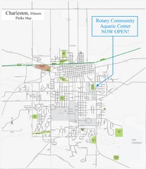
Charleston Town Map
101 miles away
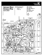
University of Cincinnati - Main Campus Map
University of Cincinnati - Main Campus Campus Map. All areas included.
103 miles away
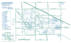
Sycamore State Park map
Detailed recreation map for Sycamore State Park in Ohio.
103 miles away
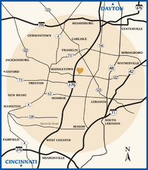
Atrium County Map
Map of Atrium County, Ohio. Includes all roads and towns.
103 miles away
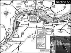
Ohio River at Louisville, KY & Southern...
This is from the Ohio River Guidebook
104 miles away

Cincinnati, Ohio City Map
104 miles away
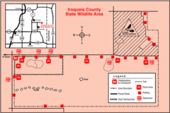
Iroquois County State Wildlife Area, Illinois...
104 miles away
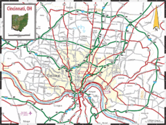
Cincinnati Tourist Map
105 miles away
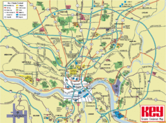
Cincinnati Tourist Map
105 miles away
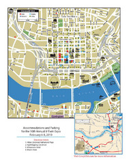
Cincinnati, Ohio Restaurant Map
105 miles away
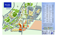
Xavier University Map
105 miles away
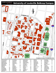
University of Louisville Map
University of Louisville Campus Map. All buildings shown.
105 miles away
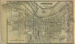
Antique map of Louisville from 1873
Map of Louisville, Kentucky from Appletons' Hand-Book of American Travel, Southern Tour...
105 miles away
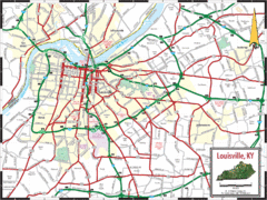
Louisville, Kentucky City Map
105 miles away
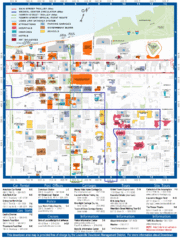
Downtown Louisville Map
Detailed map of gas stations, car rentals, and basic information of Louisville.
105 miles away
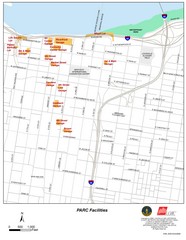
Louisville, Kentucky Tourist Map
105 miles away
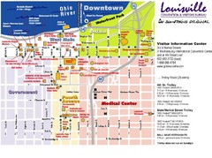
Louisville, Kentucky Tourist Map
105 miles away
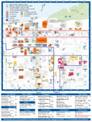
Louisville, Kentucky Tourist Map
105 miles away
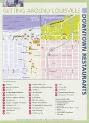
Downtown Louisville Restaurant Map
105 miles away
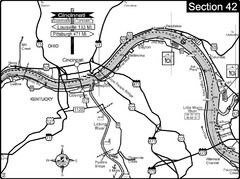
Ohio River at Cincinnati, Ohio and Newport, KY Map
This is a page from the Ohio River Guidebook. The map shows important information for boaters and...
105 miles away
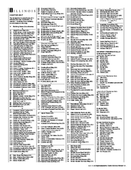
University of Illinois at Urbana-Champaign Map
Campus map of University of Illinois at Urbana-Champaign. All buildings shown.
105 miles away
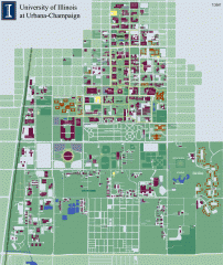
University of Illinois at Urbana-Champaign campus...
Map of the University of Illinois at Urbana-Champaign campus. Shows building names but not street...
106 miles away
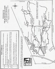
Fox Island Trail Map
Fox Island County Park trail map
106 miles away
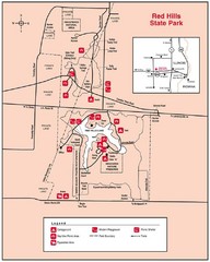
Red Hills, Illinois State Park Site Map
107 miles away
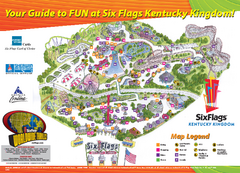
Six Flags Kentucky Kingdom Theme Park Map
Official Park Map of Six Flags Kentucky Kingdom in Kentucky.
109 miles away


