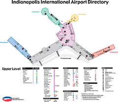
Indianapolis International Airport Terminal Map
Official map of Indianapolis International Airport. Shows all Upper Level Terminals.
0 miles away
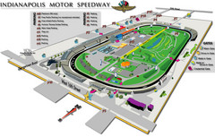
Indianapolis Motor Speedway Map
6 miles away
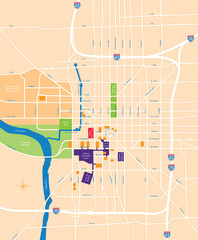
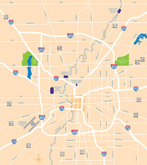
Indianapolis Center Map
Map of Indianapolis downtown center
7 miles away
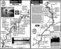
Indianapolis, IN White River West Fork Map
This is a page from the White River Guidebook. The map shows important information for boaters and...
7 miles away
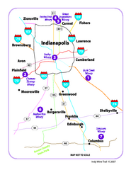
Indy Wine Trail Map
Map of the Indy Wine Trail of the Indianapolis area in Indiana. Shows wineries in the area.
7 miles away
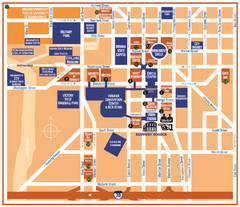
Downtown Indianapolis Map
8 miles away
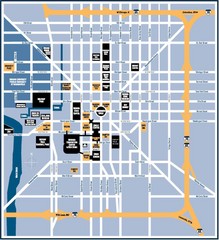
Indianapolis Tourist Map
8 miles away
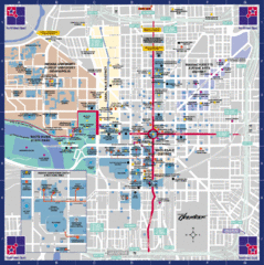
Downtown Indianapolis Map
This large map of downtown Indianapolis.
8 miles away
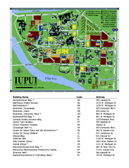
Indiana University Purdue University Indianapolis...
Campus Map of Indiana University Purdue University Indianapolis. All areas shown.
8 miles away
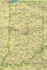
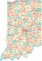
Indiana Map
17 miles away
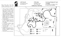
Southeastway Park Map
18 miles away

Indiana Road Map
34 miles away
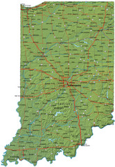
Detailed Indiana Road Map
34 miles away
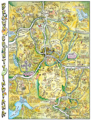
Brown County, Tennessee Tourist Map
35 miles away
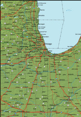
Detailed Indiana Area Road Map
36 miles away
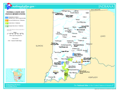
Indiana - Federal Lands and Indian Reservations...
The National Atlas of the United States of America, U.S. Geological Survey, 2003
36 miles away
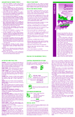
Brown County State Park, Indiana Site Map
40 miles away
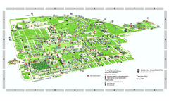
Indiana University - Bloomington Map
Campus map of Indiana University at Bloomington. All buildings shown.
40 miles away
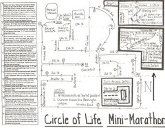
Circle of Life Mini-Marathon Map
Detailed Hand-Drawn Course for Circle of Life Mini-Marathon Map
40 miles away
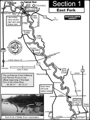
Columbus, IN White River East Fork Map
This is a page from the White River Guidebook. The map shows important information for boaters and...
43 miles away
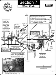
Anderson, IN & Mounds State Park Wabash River...
This is a page from the White River Guidebook. The map shows important information for boaters and...
43 miles away
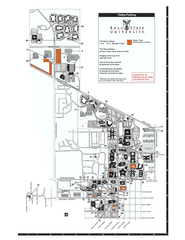
Ball State University Map
Ball State University Campus Map. All buildings shown.
58 miles away
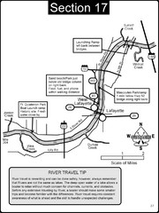
Lafayette, IN/West Lafayette, IN Wabash River Map
This is a page from the Wabash River Guidebook. The map shows important information for boaters and...
59 miles away
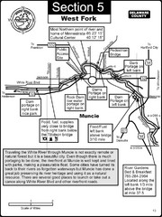
Muncie, IN White River West Fork Map
This is a page from the White River Guidebook. The map shows important information for boaters and...
59 miles away
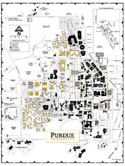
Purdue University - Main Campus Map
Campus map of Purdue University's Main Campus. All buildings shown.
59 miles away
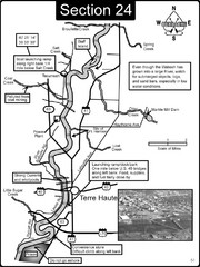
Terre Haute, IN Wabash River Map
This is a page from the Wabash River Guidebook. The map shows important information for boaters and...
61 miles away

Wabash and Erie Canal Park Map
Trails at the Wabash and Erie Canal Park
64 miles away
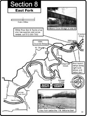
Williams, IN White River East Fork Map
This is a page from the White River Guidebook. The map shows important information for boaters and...
68 miles away
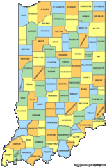
Indiana Counties Map
68 miles away
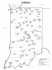
Indiana Airports Map
68 miles away
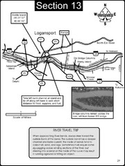
Logansport, IN Wabash River & Eel River Map
This is a page from the Wabash River Guidebook. The map shows important information for boaters and...
72 miles away
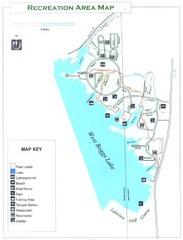
West Boggs Park Map
75 miles away
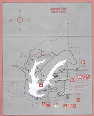
Lincoln Trail State Park, Illinois Site Map
80 miles away
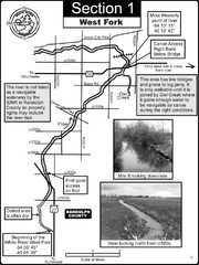
Winchester, IN Beginning of the White River-West...
This is a page from the White River Guidebook. The map shows important information for boaters and...
80 miles away
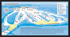
Paoli Peaks Ski Trail Map
Official ski trail map of Paoli Peaks ski area from the 2007-2008 season.
81 miles away
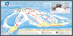
Paoli Peaks Ski Trail Map
Trail map from Paoli Peaks, which provides downhill, night, and terrain park skiing. It has 8 lifts...
81 miles away
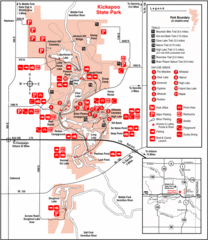
Kickapoo State Park, Illinois Site Map
82 miles away
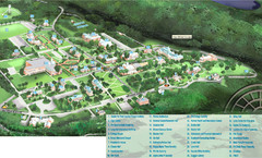
Hanover College Campus Map
Campus map of Hanover College in Hanover, IN. Shows all buildings including large number of...
82 miles away

