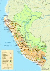
Peru Map
Map of Peru. Arequipa highlighted. In Spanish.
1526 miles away
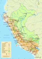
Peru National Parks map
Shows all national parks in Peru. In Spanish
1526 miles away
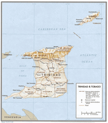
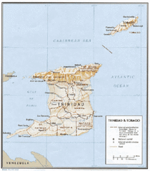
Trinidad and Tobago Map
1535 miles away
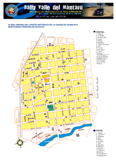
Huancayo Center Map
Map of city center with detail of local hostels
1540 miles away
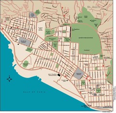
Port of Spain Map
1541 miles away
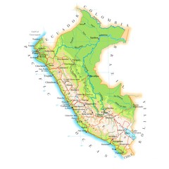
Peru Map
1553 miles away
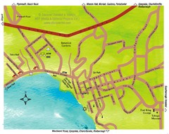
Scarborough Map
1554 miles away
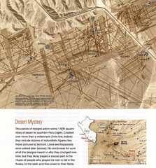
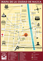
Nasca Lines Map
From National Geographic Magazine
1554 miles away
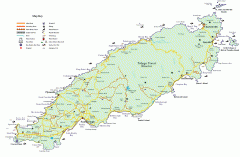
Tourist and Road map of Tobago
Tourist and Road map of Tobago in the Caribbean.
1555 miles away
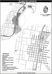
Cayasta Town Map
Street map of town
1557 miles away
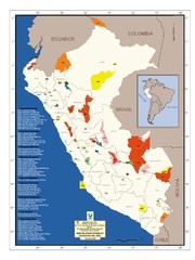
Peru National Parks Map
1565 miles away
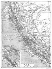
Peru 1906 Map
1572 miles away
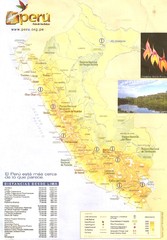
Peru Map
1576 miles away
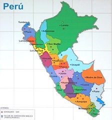
Regions of Peru Map
1579 miles away
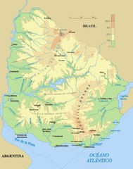
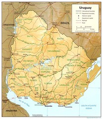
Uruguay physical Map
1583 miles away
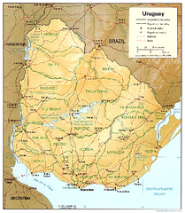
Uruguay (Shaded Relief) 1995 Map
1585 miles away
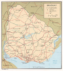
Uruguay (Political) 1973 Map
1585 miles away
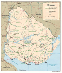
Uruguay (Political) 1995 Map
1585 miles away
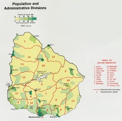
Uruguay Population Map
Uruguay's population by square mile is clearly marked on this map.
1585 miles away
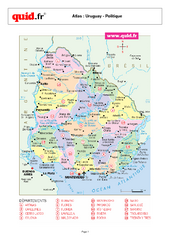
Uruguay Regional Map
Country map with detail of regional divides
1585 miles away
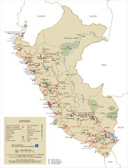
Peru Tourist Map
1593 miles away
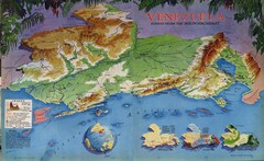
Venezuela from the North Map
Shows shaded relief of Venezuela with three thematic maps: population, states and physiograpy
1595 miles away
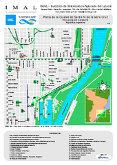
Santa Fe de la Vera Cruz Tourist Map
Tourist street map
1597 miles away
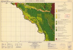
Forest Map of the Colombian Amazonia
1597 miles away
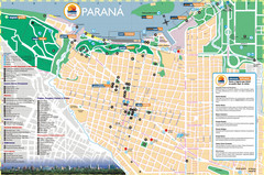
Parana Tourist Map
Street tourist map of city
1599 miles away
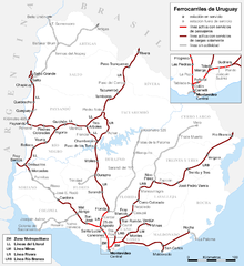
Uruguay Railroad system Map
1599 miles away
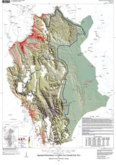
Cordillera Azul NP landcover Map
1603 miles away
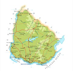
Uruguay Map
1604 miles away
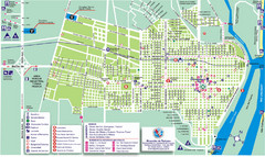
Concepcion del Uruguay Tourist Map
Tourist street map
1609 miles away
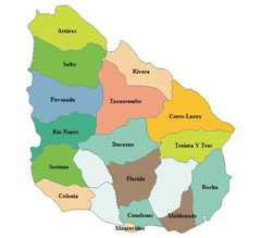
Uruguay Map
1612 miles away
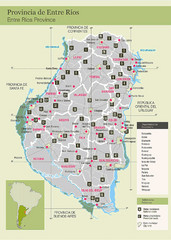
Entre Rios Province Map
Map of province with detail of main towns
1625 miles away

St. Georges Map
1635 miles away
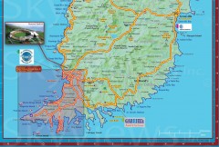
Tourist map of Grenada
Tourist map of Grenada in the Caribbean. Shows businesses and points of interest.
1636 miles away
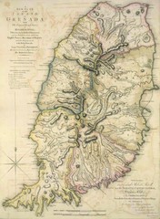
Grenada 1795 Map
1637 miles away

