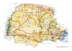
Paraguay Map
Map of Paraguay showing cities, roads, railroads and borders.
1019 miles away
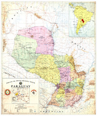
Official map of Paraguay
Official map of Paraguay, year 1993
1019 miles away
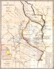
Wartime map of the Chaco
This 1933 map of the Chaco was made during the Chaco War between Paraguay and Bolivia and used by...
1019 miles away
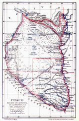
All the failed proposals to delimit the Chaco Map
Here you can see all the proposals to delimit the Chaco between 1879 and 1894. Everyone of them...
1019 miles away
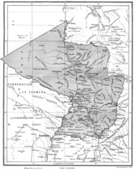
Map of Paraguay before the Chaco War
This is an internationally accepted map of Paraguay before the Chaco War (1932-35) made by Scottish...
1019 miles away
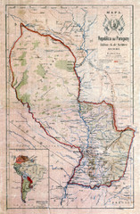
Map of Paraguay before the Chaco War
This dateless map of Paraguay that I scanned shows all the local claim over the Chaco (the northern...
1019 miles away
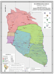
Ecological Region of the Chaco Map
This is the ecological Region of the Chaco shared between Paraguay and Bolivia
1019 miles away
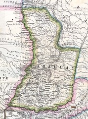
Paraguay Political Map 1875
Political map of Paraguay in 1875. Part of "Mapa Original de la Republica Argentina y Estados...
1019 miles away
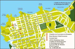
Cayenne City Map
City map of Cayenne, French Guiana. Shows a couple hotels and a workshop venue location
1019 miles away
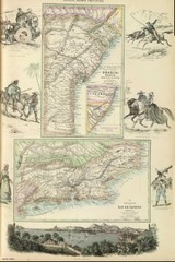
Middle Provinces of Brazil Map 1872
Map of province east coast of Brazil (Bahia) and province of Rio de Janeiro, Brazil 1872
1025 miles away

Paraguay political Map
1028 miles away
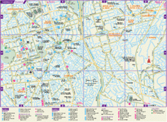
Guarulhos Tourist Map
Tourist map of city
1029 miles away
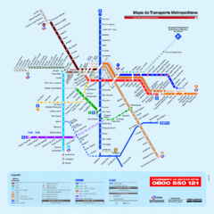
Metropolitan Transport of Sao Paulo Map
1031 miles away
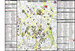
Centre of Sao Paulo Map
1031 miles away

Map of Sao Paulo State, Brazil
1031 miles away
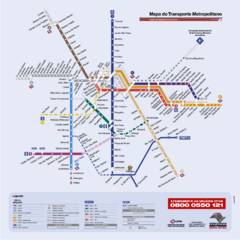
Sao Paulo Bus System Map
1031 miles away
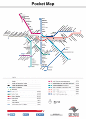
Sao Paulo Bus System Map
1035 miles away
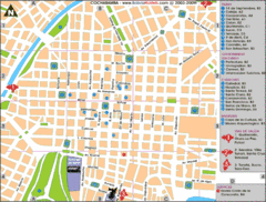
Cochabamba Ceter Map
Tourist street map of downtown Cochabamba
1049 miles away
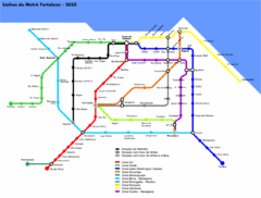
Fortaleza Metro Map
Map of metro transit throughout city
1056 miles away
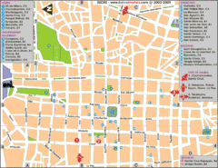
Downtown Sucre Map
Tourist street map of downtown Sucre
1059 miles away
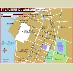
St. Laurent du Maroni Map
1061 miles away
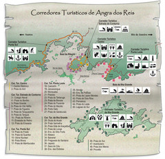
Angra dos Reis Tourist Map
Tourist map of region
1067 miles away
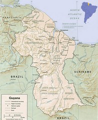
Guyana Map
Guide to the South American country of Guyana
1069 miles away
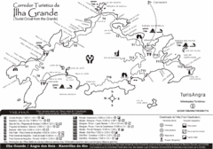
Ilha Grande Tourist Map
Tourist map of island
1079 miles away
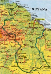
Guyana Topographic Map
Guide to Guyana, a country in South America
1086 miles away
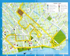
Paramaribo Suriname Tourist Map
Central Paramaribo, Suriname tourist map showing tourist sites, airports and city buildings.
1094 miles away
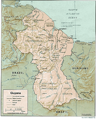
Guyana (Shaded Relief) 1991 Map
1094 miles away
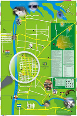
Iguacu Falls Tourist Map
Tourist map of Iguacu Falls, Brazil. Shows points of interest.
1097 miles away
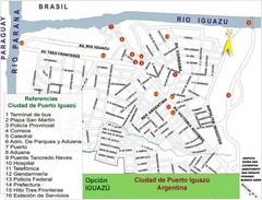
Puerto Iguazu Tourist Map
Tourist street map
1100 miles away
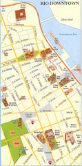
Rio de Janeiro Center Map
Street map of city center
1101 miles away
. Map
1101 miles away
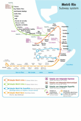
Metro Rio Map
Map of metro subway throughout Rio De Janeiro
1101 miles away
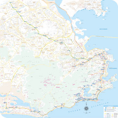
Rio de Janiero Map
1101 miles away
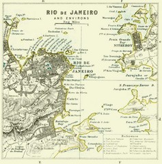
Rio De Janeiro Historical Map
Map of Rio De Janeiro, Brazil fro 1896. Map showis towns, buildings and roads.
1101 miles away
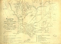
Rio De Janeiro Historical Map
Map of Rio De Janeiro, Brazil likely from 1769 showing the city streets and main buildings.
1102 miles away
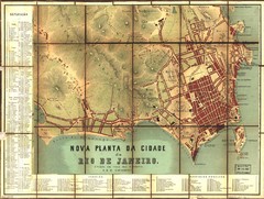
Rio de Janeiro Map 1867
Detailed map of city of Rio de Janeiro. Looks like the map portion has been overlayed on top of a...
1102 miles away
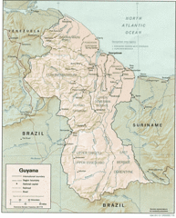
Guyana Tourist Map
1102 miles away
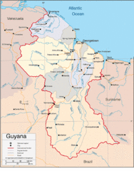
Guyana Country Map
1102 miles away

