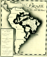
Europe inside of Brazil Map
A map from the '30s showing how Brazil could easily contain all the European countries without...
106 miles away
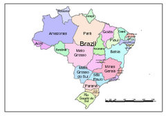
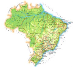
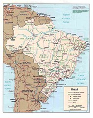
Brazil Map; Editable in Illustrator
Brazil Map, royalty free, fully editable with Illustrator. Mapsandlocations, a freelance company...
317 miles away
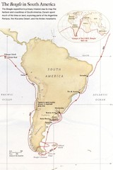
Darwin's South American Voyages 1831/36 Map
From National Geographic Magazine
394 miles away
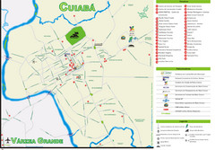
Cuiaba Tourist Map
Tourist street map of town
465 miles away

Amazon River Map
Old map of the Amazon River and major tributaries.
656 miles away
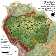
Amazon Basin Hydrosheds Map
Hydrosheds of the Amazon River Basin, the area drained by the Amazon River and its tributaries...
672 miles away
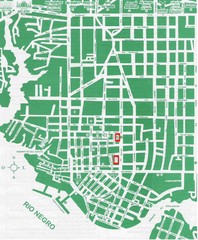
Manaus Center Map
Street map of city center
685 miles away
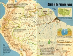
Amazon River Basin Map
From National Geographic Magazine
686 miles away
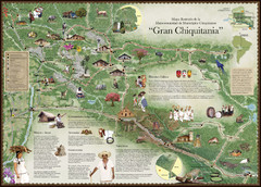
Chiquitania Region Tourist Map
Tourist map of the Mancomunidad Chiquitana or "Association of Chiquitano Peoples and...
739 miles away
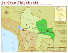
La Gran Chiquitania Map
745 miles away
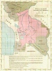
Alleged territorial losses of Bolivia Map
This Bolivian map shows all the alleged territorial losses.
821 miles away
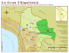
La Gran Chiquitania Map
Location map of the (Gran) Chiquitania region in Bolivia
862 miles away

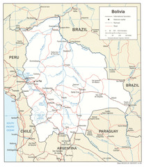
Bolivia Detail Map, 1993 Map
863 miles away
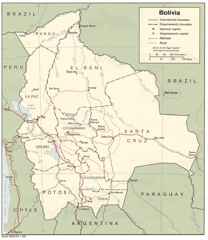
Bolivia Detail Map, 2006 Map
863 miles away
Bolivia Detail Map, 1986 Map
863 miles away
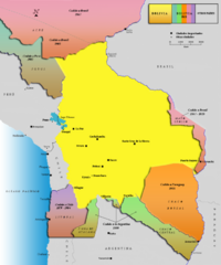
Alleged territorial losses of Bolivia Map v2.0
This another Bolivian map shows all the alleged territorial losses.
863 miles away
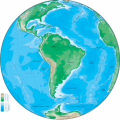
South America Globe Map
Guide to South America, in globe version, not flat
871 miles away
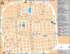
Santa Cruz Tourist Map
Tourist map of city center
897 miles away
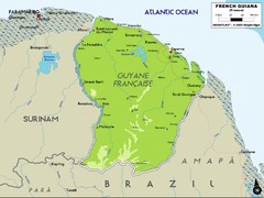
French Guiana Map
924 miles away
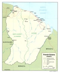
French Guiana Tourist Map
950 miles away
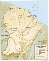
French Guiana Map
950 miles away
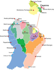
French Guiana political Map
953 miles away

The Amazon Tourist Map
The Amazon in South America
956 miles away
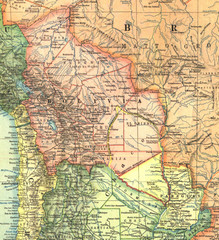
Bolivia and Paraguay in 1921 Map
1921 National Geographic Map of Bolivia and Paraguay before of the 1932-35 bloody war between those...
958 miles away
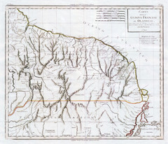
French Guiana 1824 Map
963 miles away

Mississippi Airports Map
966 miles away
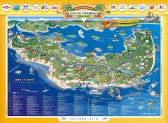
Ilha de Itaparica Tourist Map
Tourist map of Ilha de Itaparica, Brazil. In Portuguese.
971 miles away
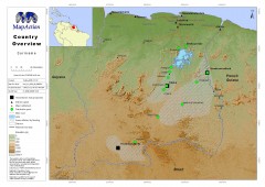
Suriname Overview Map
Country overview with settlement and main communication links.
977 miles away
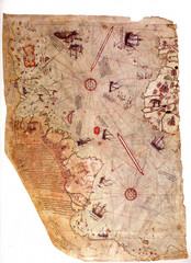
1513 Turkish Map of the Americas
First Turkish map to show Americas, summary of 20 older maps, drawn on gazelle skin. Very accurate...
981 miles away
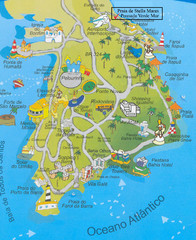
Salvador Tourism Map
983 miles away
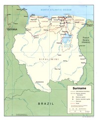
Suriname Map
986 miles away
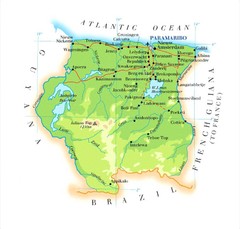
Surinam Map
998 miles away

Paraguay Map
1000 miles away
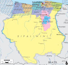
Surinam political Map
1007 miles away
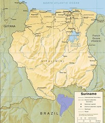
Surinam relief Map
1011 miles away

