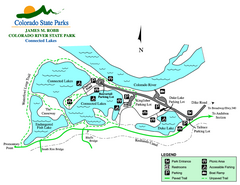
Connected Lakes State Park Map
Map of connected lakes section of the James M Robb Colorado River State Park
343 miles away
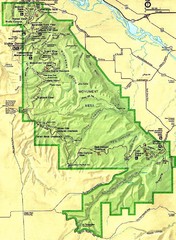
Colorado National Monument Map
343 miles away
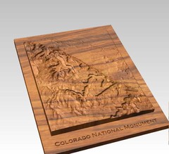
Colorado National Monument carved by CarvedMaps...
Colorado National Monument near Grand Junction, CO. was carved by CarvedMaps.com They can carve...
343 miles away
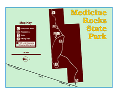
Medicine Rocks State Park Map
As the name implies, Medicine Rocks was a place of "big medicine" where Indian hunting...
345 miles away
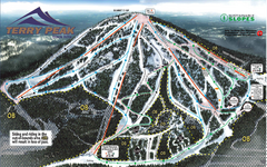
Terry Peak Ski Area Ski Trail Map
Trail map from Terry Peak Ski Area.
346 miles away

Black Hills Map
346 miles away
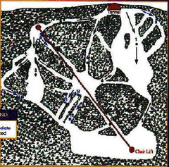
Mystic Miner Ski Resort at Deer Mountain West...
Trail map from Mystic Miner Ski Resort at Deer Mountain.
346 miles away
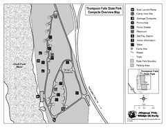
Thompson Falls State Park Map
This shaded, quiet campground is located on the Clark Fork River near the town of Thompson Falls in...
346 miles away
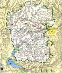
Rocky Mountain National Park Map
Rocky Mountain National Park Map and surrounding National Forests of Arapaho and Roosevelt.
347 miles away

Black Hills National Forest Park Map
348 miles away
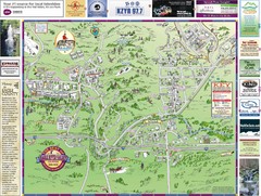
Resort Maps of Eagle River Valley Map
Resort Maps of Eagle River Valley is the most popular and widely distributed map of Minturn, Red...
348 miles away
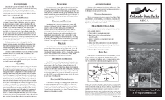
Vega State Park Map
Map of park with detail of recreation zones and campgrounds
349 miles away

Black Hills National Forest Map
Areas in Black Hills National Forest
349 miles away
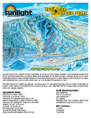
Sunlight Mountain Resort Ski Trail Map
Trail map from Sunlight Mountain Resort, which provides downhill, nordic, and terrain park skiing...
350 miles away
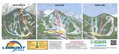
Lookout Pass Ski Trail Map
Official ski trail map of Lookout Pass ski area from the 2007-2008 season. Shows Montana, Idaho...
350 miles away
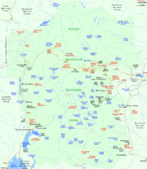
Rocky Mountain National Park Tourist Map
351 miles away
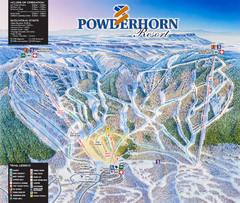
Powderhorn Resort Ski Trail Map
Trail map from Powderhorn Resort, which provides downhill and terrain park skiing. It has 4 lifts...
351 miles away
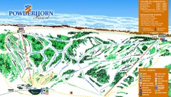
Powderhorn Ski Trail Map
Official ski trail map of Powderhorn Resort ski area from the 2007-2008 season.
352 miles away
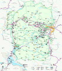
Rocky Mountain National Park Official Map
Rocky Mountain National Park Official Map. Shows all roads, trails, rivers, and mountain summits.
352 miles away
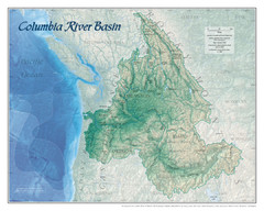
Columbia River Basin Map
352 miles away
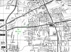
Cheyenne, Wyoming City Map
353 miles away
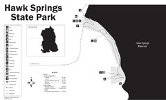
Hawk Springs State Park Map
Hawk Springs Recreation Area has activities for everyone to enjoy: boating, waterskiing, fishing...
353 miles away
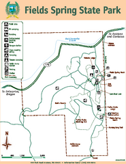
Fields Spring State Park Map
Map of park with detail of trails and recreation zones
353 miles away

Arches National Park Map
354 miles away
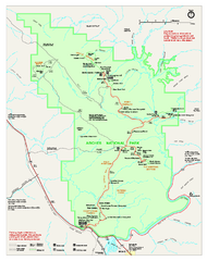
Arches National Park Official map
Official NPS park map of Arches National Park. Shows trails, roads, and all park facilities.
355 miles away
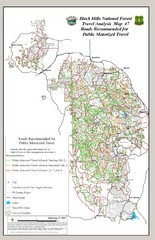
Black Hills National Forest Tourist Map
Black Hills National Forest in Custer, South Dakota
356 miles away
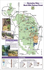
Black Hills National Forest Guide Map
Forest Recreation guide Map
357 miles away
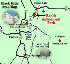
Black Hills Area Map
357 miles away
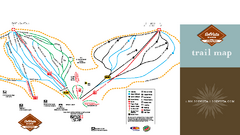
SolVista Basin at Granby Ranch Ski Trail Map
Trail map from SolVista Basin at Granby Ranch, which provides downhill and terrain park skiing. It...
358 miles away

Eagle River Valley Resort Maps Map
Resort Maps of Eagle River Valley is the most popular and widely distributed map of Minturn, Red...
358 miles away
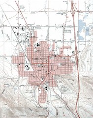
Baker City, Oregeon Tourist Map
358 miles away
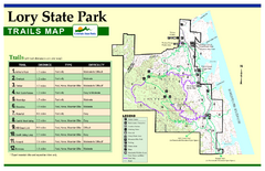
Lory State Park Trail Map
Map of park with detail of hiking trails
360 miles away
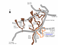
Goblin Valley State Park Map
The vast landscape of sandstone goblins may have visitors wondering if they're in Mars or Utah...
361 miles away
Beaver Creek Map
Beaver Creek Map, Beaver Creek Shopping Map, Beaver Creek Lodging Map, Activities, Restaurants...
361 miles away
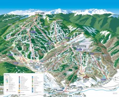
Beaver Creek Ski Trail Map
Official ski trail map of Beaver Creek ski area from the 2007-2008 season. Map also includes...
361 miles away
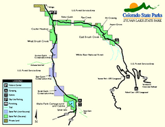
Sylvan Lake State Park Map
Map of park with detail of recreation zones and campgrounds
361 miles away
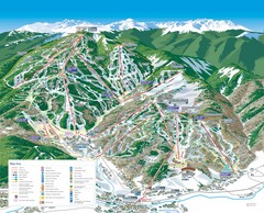
Beaver Creek Resort Ski Trail Map
Trail map from Beaver Creek Resort, which provides downhill and terrain park skiing. It has 16...
362 miles away
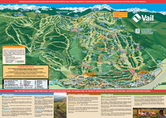
Vail Mountain resort Summer Adventure Map
Map of all hiking and mountain biking trails maintained by Vail Mountain Resort
363 miles away
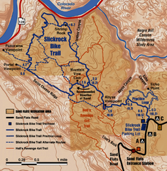
Slickrock Trail Map
Trail map of the famous Slickrock mountain biking trail in Moab, Utah. Trail distances shown. 10...
363 miles away
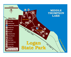
Logan State Park Map
With frontage on the north shore of Middle Thompson Lake, Logan is heavily forested with western...
363 miles away

