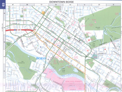
Boise, Idaho Downtown Map
Map of the downtown area of Boise, Idaho includes all streets, parks and the Boise State University.
273 miles away
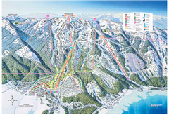
Tamarack Resort Ski Trail Map
Trail map from Tamarack Resort, which provides downhill, nordic, and terrain park skiing. It has 7...
274 miles away
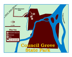
Council Grove State Park Map
Clearly marked map.
274 miles away
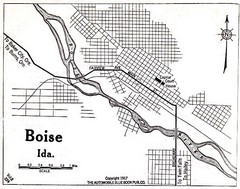
Boise Idaho 1917 Map
275 miles away
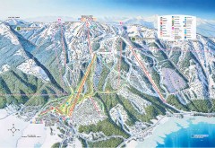
Tamarack Ski Trail Map
Official ski trail map of Tamarack ski area from the 2007-2008 season.
275 miles away
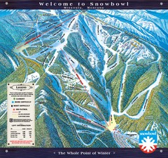
Montana Snowbowl Ski Trail Map
Trail map from Montana Snowbowl.
275 miles away

Utah Dinosaur Country Map
276 miles away
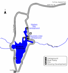
Scofield State Park Map
Camp, boat, and fish at this summer and winter recreation destination situated high in the Manti...
277 miles away
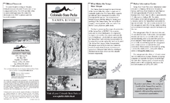
Yampa River State Park Map
Map of park with detail of recreation zones
280 miles away
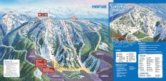
Brundage Ski Trail Map
Official ski trail map of Brundage ski area from the 2007-2008 season.
281 miles away
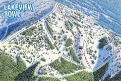
Brundage Mountain Resort Lakeview Bowl Ski Trail...
Trail map from Brundage Mountain Resort, which provides downhill and terrain park skiing. It has 5...
281 miles away
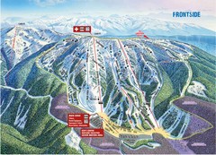
Brundage Mountain Resort Frontside Ski Trail Map
Trail map from Brundage Mountain Resort, which provides downhill and terrain park skiing. It has 5...
281 miles away

Metropolis Nevada Ghost Town Map
281 miles away
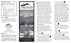
Steamboat Lake State Park Map
Map of park with detail of recreation zones
282 miles away
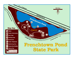
Frenchtown Pond State Park Map
Plan to bring everyone in the family to this day-use-only park for a whole afternoon of picnicking...
284 miles away
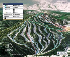
Snowy Range Ski Trail Map
Trail map from Snowy Range.
286 miles away
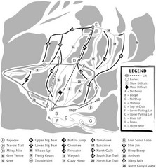
Teton Pass Ski Area Ski Trail Map
Trail map from Teton Pass Ski Area.
289 miles away
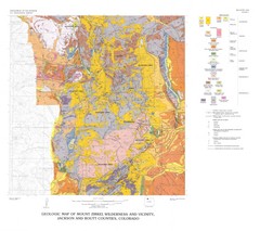
Mount Zirkel Wilderness and Vicinity Geologic Map
Geologic Map of Mount Zirkel Wilderness
294 miles away
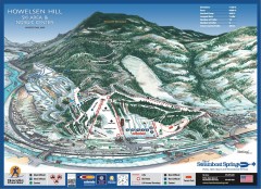
Howelsen Hill Ski Trail Map
Official map of Howelsen Hill ski area in Steamboat, CO. Map shows both downhill and nordic trails...
302 miles away
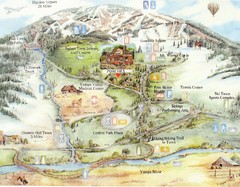
Steamboat Springs Map
A fun map marking points of interest and more.
303 miles away
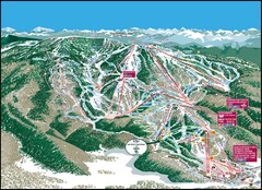
Steamboat Springs Mountain Map
303 miles away
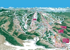
Steamboat Trail Map
Ski trail map
303 miles away
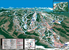
Steamboat Trail Map
303 miles away
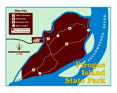
Pirogue Island State Park Map
Visitors find this isolated and undeveloped cottonwood-covered Yellowstone River island an...
304 miles away
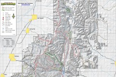
Utah Arapeen OHV Trail System- North Map
The Utah Arapeen OHV Trail System located in near the Towns of Fairview, Ephraim, and Mant, Utah.
304 miles away
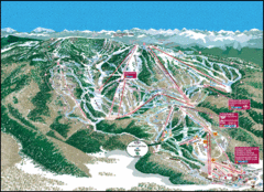
Steamboat Springs Trail Map
Guide to trails in Steamboat Springs Ski Resort, Colorado
304 miles away
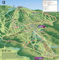
Steamboat Springs Bike Trail Map
Bike trail for Steamboat Springs mountain bike trail.
304 miles away
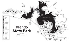
Glendo State Park Map
Glendo State Park is best known for its excellent boating opportunities, with plenty of areas for...
305 miles away
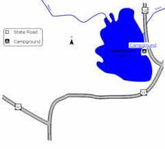
Huntington Lake State Park Map
Take a hike around this beautiful lake.
305 miles away
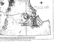
Map of Wolverine Sightings: 1886 -- 1998
306 miles away
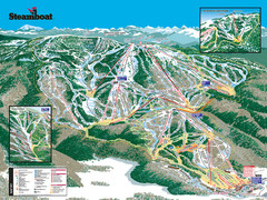
Steamboat Ski Resort Ski Trail Map
Trail map from Steamboat Ski Resort, which provides downhill and terrain park skiing. It has 18...
306 miles away
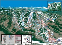
Steamboat Ski Area Ski trail map
Official ski trail map of Steamboat ski area in Steamboat Springs, CO from the 2006-2007 season...
307 miles away
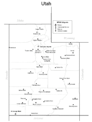
Utah Airports Map
308 miles away
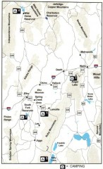
Camping in Elko County, Nevada Map
Map of camping opportunities in Elko County, Nevada, showing camp grounds, roads and towns.
308 miles away
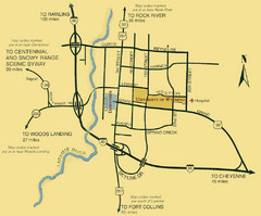
Laramie City Map
City map of Laramie, Wyoming with University of Wyoming highlighted.
313 miles away
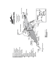
Stagecoach State Park Map
Map of park with detail of campgrounds and recreation zones
313 miles away
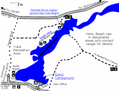
Yuba State Park Map
The sprawling waters of Yuba State Park provide a variety of recreation opportunities for visitors...
313 miles away
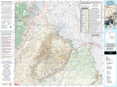
San Rafael, Utah Trail Map
Trails and main roads near Manti-LaSal National Forest and Castle Dale in Emery County, Utah
315 miles away
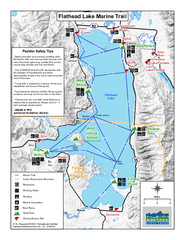
West Shore State Park Map
Glacially carved rock outcrops rise from Flathead Lake to overlooks with spectacular views of the...
316 miles away

