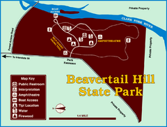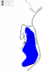
Steinaker State Park Map
Fish for rainbow trout and largemouth bass, and enjoy sandy beaches, swim, boat, and waterski at...
233 miles away
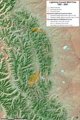
Montana Mountain Range Map
Fires on the Montana mountain range
234 miles away
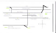
Glenns Ferry City Map
City map of Glenns Ferry, Idaho with information
236 miles away
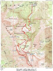
Mount Timpanogos Trail Map
Trail map of Mount Timpanogos 11,749 feet, in the Mount Timpanogos Wilderness Area, Utah. One of...
236 miles away
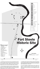
Fort Fred Steele State Historic Site Map
This frontier Army post has a fascinating history interlacing transportation with the military and...
237 miles away
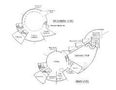
Utah Field House of Natural History Map
So much time is revealed here, even more geologic time than in the Grand Canyon. Within an 80-mile...
237 miles away
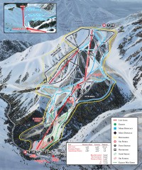
Sundance Ski Trail Map
Official ski trail map of Sundance ski area from the 2007-2008 season.
238 miles away
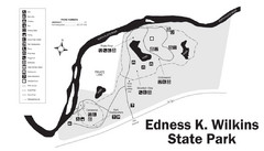
Edness Kimball Wilkins State Park Map
Edness K. Wilkins State Park is a serene day-use park located 6 miles east of Casper off Interstate...
238 miles away
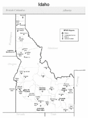
Idaho Airports Map
240 miles away
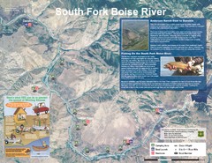
South Fork Boise River Map
Map of the South Fork of the Boise River from Anderson Ranch Dam to Neal Bridge. Premier wild...
242 miles away
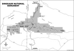
Dinosaur National Monument Map
242 miles away
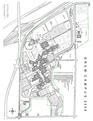
Utah Valley State University Map
Utah Valley State University. All areas shown.
244 miles away
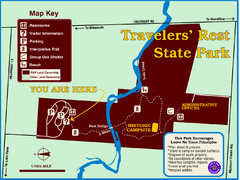
Travelers' Rest State Park Map
The Lewis and Clark expedition camped here twice during their historic journey to locate the...
246 miles away
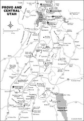
Provo, Utah City Map
247 miles away
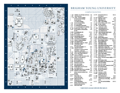
Brigham Young University Map
Campus Map of Brigham Young University in Utah. All buildings shown.
247 miles away
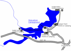
Starvation State Park Map
The sprawling waters of Starvation Reservoir offer great fishing and boating. Find a secluded...
248 miles away
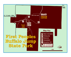
First People's Buffalo Jump State Park Map
A visitor center and interpretive trails tell the story of this prehistoric bison kill site, one of...
249 miles away
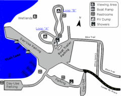
Utah Lake State Park Map
Utah's largest freshwater lake provides fishing access for channel catfish, walleye, white...
249 miles away
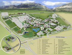
Utah Valley University Map
Campus map
249 miles away
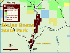
Sluice Boxes State Park Map
Remains of mines, a railroad, and historic cabins line Belt Creek as it winds through a beautiful...
249 miles away
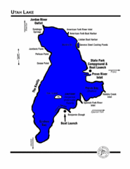
Utah Lake Map
251 miles away
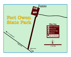
Fort Owen State Park Map
Fort Owen’s adobe and log remains preserves the site of the first permanent white settlement...
251 miles away

Bonneville Salt Flats International Speedway Map
256 miles away
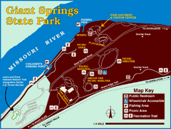
Giant Springs State Park Map
Set aside a whole afternoon to experience this scenic and historic freshwater springs site. First...
262 miles away
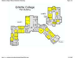
Gilette College Campus Map
Gilette College Campus Map. All buildings shown.
263 miles away
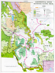
Continental Divide Scenic Trail Map
Guide to the Montana portion of the Continental Divide trail
263 miles away
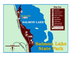
Salmon Lake State Park Map
Immediately adjacent to Montana 83, this park is an access point to one of the beautiful lakes in...
264 miles away
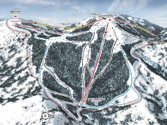
Bogus Basin Ski Trail Map - Pine Creek
Official ski trail map of Pine Creek area of Bogus Basinski area from the 2007-2008 season.
267 miles away
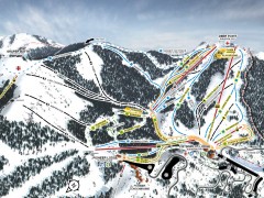
Bogus Basin Ski Trail Map - Front
Official ski trail map of frontside of Bogus Basin ski area from the 2007-2008 season.
267 miles away
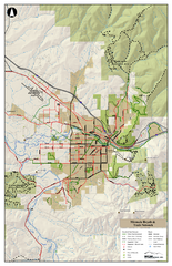
Missoula Bike Trails Map
Road and Mt. Bike trails with a bit of topology near Missoua
267 miles away

Missoula Trail System Map
Basic Map of Hike/Bike/Run Trail system for Missoula MT
267 miles away
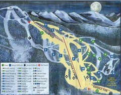
Marshall Mountain Ski Trail Map
Trail map from Marshall Mountain.
267 miles away

Missoula, Montana City Map
267 miles away
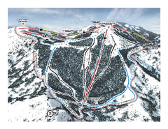
Bogus Basin Pine Creek Ski Trail Map
Trail map from Bogus Basin, which provides downhill, night, nordic, and terrain park skiing. It has...
268 miles away
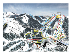
Bogus Basin Frontside Ski Trail Map
Trail map from Bogus Basin, which provides downhill, night, nordic, and terrain park skiing. It has...
268 miles away
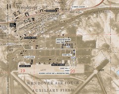
Wendover Air Base Map
269 miles away
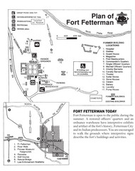
Fort Fetterman State Historic Site Map
Fort Fetterman, located approximately 11 miles northwest of Douglas. The fort was established as a...
272 miles away
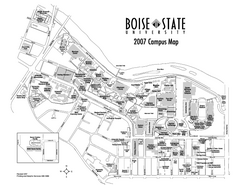
Boise State University Map
Boise State University Campus Map. All areas shown.
273 miles away


