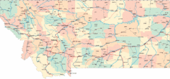
Montana Road Map
207 miles away
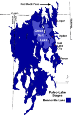
Lake Bonneville Levels Map
208 miles away
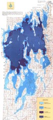
Ancient Lake Bonneville Map
208 miles away
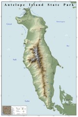
Antelope Island State Park Map
Shaded relief map of Antelope Island State Park, Utah. Shows facilities, peaks, and springs...
208 miles away
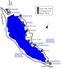
Rockport State Park Map
Find first-rate, year-round recreation at this northern Utah destination. During summer, fish, boat...
209 miles away
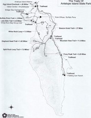
Antelope Island State Park Map
Antelope Island State Park, the largest island in the Great Salt Lake, is home to a roaming herd of...
210 miles away
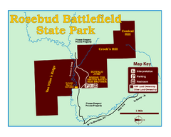
Rosebud Battlefield State Park Map
This National Historic Landmark on the rolling prairie of eastern Montana preserves the site of the...
211 miles away
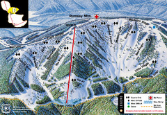
Discovery Basin Ski Area B Ski Trail Map
Trail map from Discovery Basin Ski Area.
211 miles away
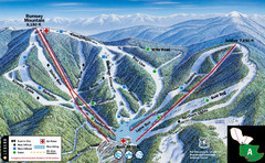
Discovery Basin Ski Area A Ski Trail Map
Trail map from Discovery Basin Ski Area.
211 miles away

Mirror Lake Highway Map
211 miles away
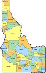
Idaho Counties Map
212 miles away

Oregon Trail Historical Map
212 miles away
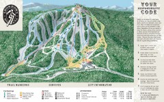
Showdown Ski Trail Map
Official ski trail map of Showdown ski area
213 miles away
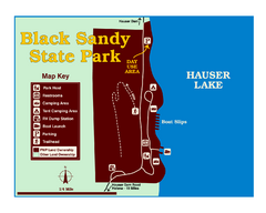
Black Sandy State Park Map
Simple but clear map of State Park.
213 miles away
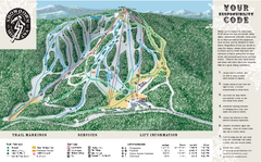
Showdown Ski Area Ski Trail Map
Trail map from Showdown Ski Area.
213 miles away
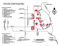
University of Utah Map
University of Utah Campus Map. All buildings shown.
214 miles away
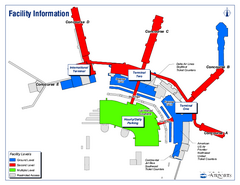
Salt Lake City International Airport Terminal Map
Official Terminal Map of Salt Lake City International Airport. Shows all terminals and facilities.
214 miles away
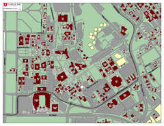
University of Utah Map
215 miles away
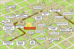
Salt Lake City Tourist Map
Tourist map of Salt Lake City, Utah. Shows points of interest.
215 miles away
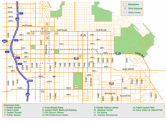
Downtown Salt Lake City Map
Street map of downtown Salt Lake City
215 miles away
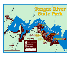
Tongue River Reservoir State Park Map
The 12-mile long reservoir is situated among scenic red shale, juniper canyons, and the open...
215 miles away
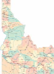
Idaho Road Map
216 miles away
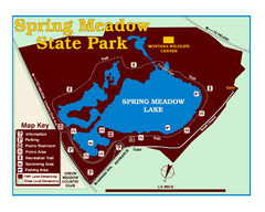
Spring Meadow Lake State Park Map
This urban, day-use-only park minutes from Helena fed by natural springs, is a popular spot for...
216 miles away
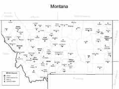
Montana Airports Map
217 miles away
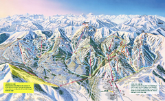
The Canyons Ski Trail Map
Trail map from The Canyons.
217 miles away
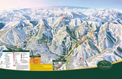
The Canyons Ski Trail Map
Official ski trail map of The Canyons ski area from the 2007-2008 season.
218 miles away
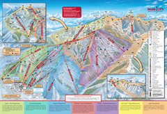
Park City Mountain Trail Map
Map of Park City Mountain's various ski trails
218 miles away

Park City Area Map
Area map of Park City, Utah
218 miles away
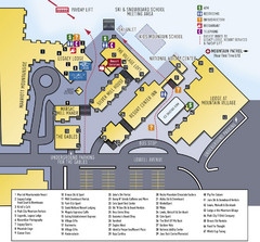
Park City Mountain Resort Map
218 miles away
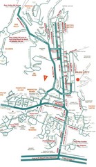
Park City town map
218 miles away
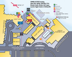
Park City Resort Base Map
Map of Park City Ski Area base buildings.
218 miles away

Park City Map
Street map of Park City
219 miles away
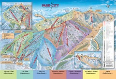
Park City Ski Trail Map
Official ski trail map of Park City ski area for the 2007-08 season.
219 miles away
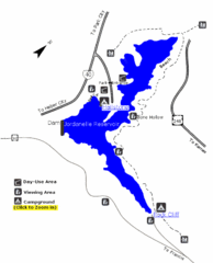
Jordanelle State Park Map
Jordanelle State Park is located in a picturesque mountain setting near Heber City. The park offers...
220 miles away
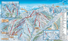
Park City Mountain Resort Ski Trail Map 2006-07
Official ski trail map of Park City for the 2006-2007 season. Site of the 2002 Winter Olympics.
220 miles away
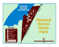
Painted Rocks State Park Map
Located in the scenic Bitterroot Mountains, this 23-acre park offers boating and water sport...
220 miles away

Wasatch Front Watershed Map
220 miles away

Deer Valley Resort Ski Trail Map
Trail map from Deer Valley Resort.
220 miles away
Hagerman Fossil Beds National Monument Map
Official map of Hagerman Fossil Beds National Monument in Hagerman, Idaho
221 miles away
Great Divide Ski Area Ski Trail Map
Trail map from Great Divide Ski Area.
221 miles away

