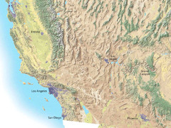
Southwest USA topo Map
539 miles away

South Dakota Map
540 miles away

Map of North and South Dakota 1906
541 miles away

Sourth Dakota Wind Resource Map
541 miles away

South Dakota Counties Map
541 miles away
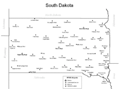
South Dakota Airports Map
541 miles away
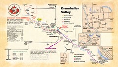
Drumheller Valley Tourist Map
Tourist map shows trails and points of interest of area around Drumheller, Alberta.
541 miles away
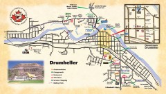
Drumheller Tourist Map
Tourist map of Drumheller, Alberta. Shows accommodations, campgrounds, restaurants, attractions...
541 miles away
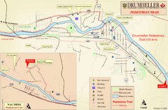
Drumheller Pedestrian Trail Map
541 miles away
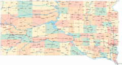
South Dakota Road Map
541 miles away
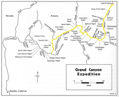
Grand Canyon River Expedition Map
Guide to the Colorado River, rapids and washes
541 miles away
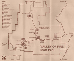
Valley of Fire State Park Map
Scanned from park brochure
543 miles away
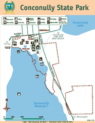
Conconully State Park Map
Map of park with detail of trails and recreation zones
544 miles away
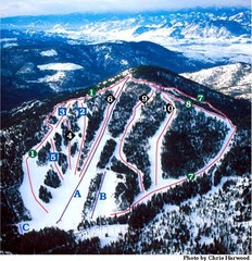
Loup Loup Ski Bowl Ski Trail Map
Trail map from Loup Loup Ski Bowl, which provides downhill, night, and nordic skiing. It has 2...
544 miles away
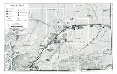
Santa Fe Trail Visitor Map
Map of the Santa Fe Trail showing all hiking trails, camping and picnic areas, roads, and monuments...
544 miles away
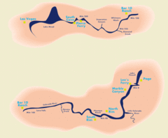
Grand Canyon River Rafting Map
Guide to the Colorado River, Grand Canyon river rafting
545 miles away
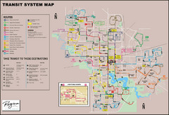
Regina Transit Map
Bus route map of the city of Regina, Saskatchewan, Canada.
545 miles away
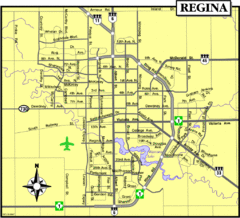
Regina Map
Street map of downtown Regina
545 miles away
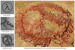
Rendered Terrain of the Grand Canyon Map
Created from Digital Elevation Models
545 miles away
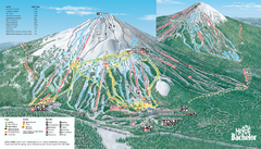
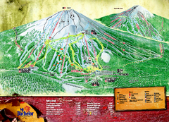
Mt. Bachelor Ski Trail map
Official ski trail map of Mount Bachelor ski area from the 2006-2007 season.
545 miles away
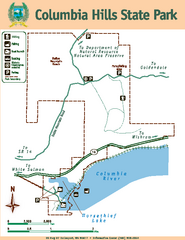
Columbia Hills State Park Map
Map of park with detail of trails and recreation zones
545 miles away
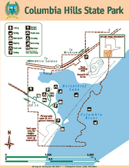
Columbia Hills State Park Map
Map of park with detail of trails and recreation zones
546 miles away
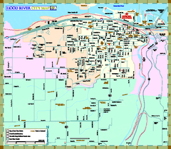
Hood River Map
Tourist map of city of Hood River, Oregon.
546 miles away
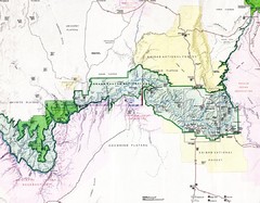
Grand Canyon Map
Guide to the Grand Canyon National Park
546 miles away
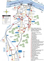
Hood River County Fruit Loop map
35-mile scenic drive through the valley's orchards, forests, farmlands, and friendly...
546 miles away
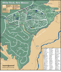
White Rock Road Map
Large and detailed map marking points of interest and roads.
546 miles away
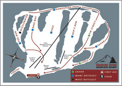
Cooper Spur Ski Area Ski Trail Map
Trail map from Cooper Spur Ski Area.
547 miles away
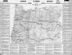
Oregon Military Map
Detailed guide to military forts, camps and roads on teh western Oregon coast
547 miles away
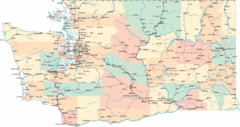
Washington Road Map
Road map of state of Washington
548 miles away
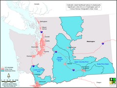
Washington Steelhead Salmon Map
Shows federally listed steelhead salmon evolutionarily significant units in Washington state.
548 miles away
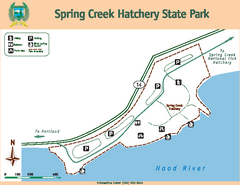
Spring Creek Hatchery State Park map
Map of park with detail of trails and recreation zones
548 miles away
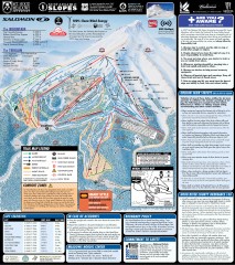
Mt. Hood Meadows Ski Trail Map
Official ski trail map of Mt. Hood Meadows ski area from the 2007-2008 season.
549 miles away
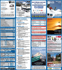
Mt. Hood Meadows Ski Resort Ski Trail Map
Trail map from Mt. Hood Meadows Ski Resort.
549 miles away
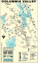
Columbia Valley Map
Easy to follow map and legend of this wilderness area.
550 miles away
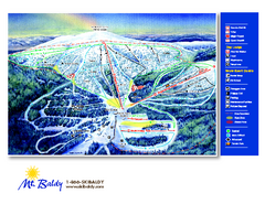
Mt. Baldy Family Ski Area Ski Trail Map
Trail map from Mt. Baldy Family Ski Area.
550 miles away
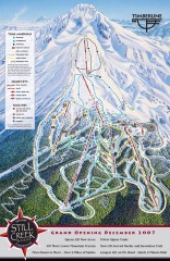
Timberline Ski Trail Map
Official ski trail map of Timberline Lodge ski area from the 2007-2008 season.
551 miles away

Timberline Ski Area Ski Trail Map
Trail map from Timberline Ski Area.
551 miles away

Downtown Reno, Nevada Map
Tourist map of Reno, Nevada. Event and convention centers, visitor's center, parks, and other...
552 miles away

Reno Tahoe Tourist Map
552 miles away

