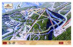
Spanish Peaks Resort Ski Trail Map
Trail map from Spanish Peaks Resort. It has 2 lifts servicing 12 runs; the longest run is 2574...
108 miles away

Big Sky Ski Resort Trail Map (Southern exposure...
Big Sky ski resort trail map (Southern exposure) for the 2006-2007 season. Also check out the...
110 miles away
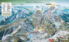
Big Sky Ski Resort Trail Map (Eastern exposure...
Big Sky ski resort trail map (Eastern exposure) for the 2006-2007 season
110 miles away

Big Sky Resort Lone Peak Detail Ski Trail Map
Trail map from Big Sky Resort, which provides terrain park skiing. It has 21 lifts servicing 150...
110 miles away
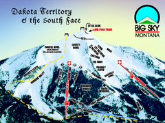
Big Sky Resort Dakota Territory Detail Ski Trail...
Trail map from Big Sky Resort, which provides terrain park skiing. It has 21 lifts servicing 150...
110 miles away
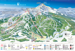
Moonlight Basin Ski Trail Map
Trail map from Moonlight Basin, which provides terrain park skiing. It has 8 lifts servicing 92...
113 miles away
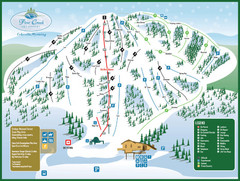
Pine Creek Ski Area Ski Trail Map
Trail map from Pine Creek Ski Area.
115 miles away
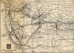
1925 Union Pacific Railroad Map Part 1
Guide to the Union Pacific railroad lines across the western half of the United States
119 miles away
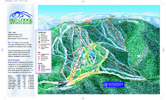
Red Lodge Mountain Ski Trail Map
Official ski trail map of Red Lodge Mountain ski area from the 2007-2008 season.
120 miles away
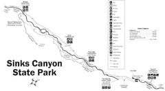
Sinks Canyon State Park Map
Sinks Canyon State Park offers hiking trails, abundant wildlife viewing, bird-watching, fishing...
121 miles away
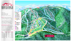
Red Lodge Mountain Ski Trail Map
Trail map from Red Lodge Mountain.
121 miles away
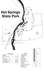
Hot Springs State Park Map
Enjoy our soothing waters, views of the unforgettable bison and some of the loveliest flower...
127 miles away

Beaver Mountain Ski Area Ski Trail Map
Trail map from Beaver Mountain Ski Area.
130 miles away

Boysen State Park Map
133 miles away
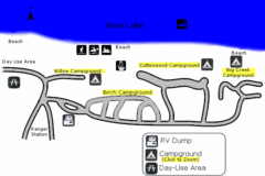
Rendezvous Beach Map
Bear Lake State Park is nestled high in the Rocky Mountains on the Utah-Idaho border. The cool...
136 miles away
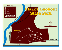
Clark's Lookatout State Park Map
Clearly marked State Park Map.
138 miles away
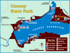
Cooney State Park Map
Simple and clear State Park Map.
138 miles away

Bridger Bowl Ski Area Ski Trail Map
Trail map from Bridger Bowl Ski Area.
143 miles away
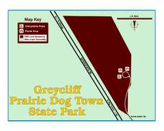
Greycliff Prairie Dog Town State Park Map
Grab your camera and hop off Interstate 90 at Greycliff to delight in the playful, curious black...
145 miles away
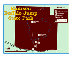
Madison Buffalo Jump State Park Map
You’ll find this day-use-only park seven graveled miles off Interstate 90 at the Logan exit...
145 miles away
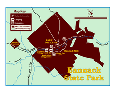
Bannack State Park Map
147 miles away
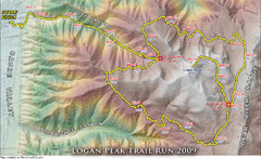
Logan Peak Trail Run Map 2009
Trail run map of the Logan Peak Trail Run 2009 course.
151 miles away
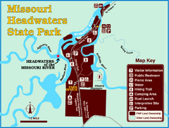
Missouri Headwaters State Park Map
This park encompasses the confluence of the Jefferson, Madison and Gallatin Rivers. The Lewis and...
154 miles away
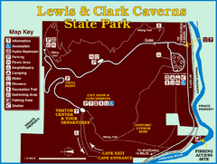
Lewis and Clark Caverns State Park Map
Montana's first and best-known state park showcases one of the most highly decorated limestone...
154 miles away
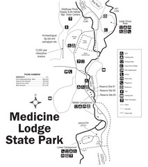
Medicine Lodge State Park Map
The Medicine Lodge site has long been known for its Indian petroglyphs and pictographs, but not...
157 miles away
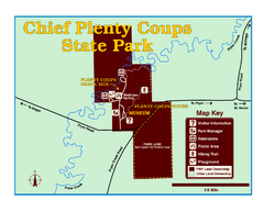
Chief Plenty Coups State Park Map
Simple and clear map of State Park.
158 miles away
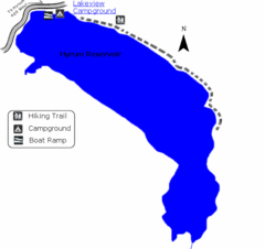
Hyrum State Park Map
Tucked away in Cache County, Hyrum State Park offers many recreation opportunities including...
159 miles away
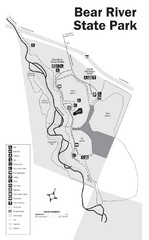
Bear River State Park Map
164 miles away
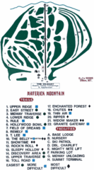
Maverick Mountain Ski Area Ski Trail Map
Trail map from Maverick Mountain Ski Area.
167 miles away
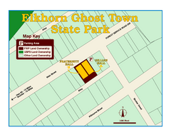
Elkhorn Ghost Town State Park Map
Clearly marked map of old 1880's ghost town with impressive structures.
167 miles away
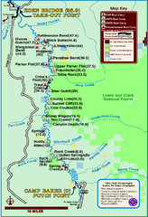
Smith River State Park Map
The Smith River is a unique 59-mile river corridor. Permits are required to float the stretch of...
168 miles away

Continental Divide Map
168 miles away

Golden Spike National Monument Map
172 miles away
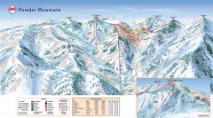
Powder Mountain Ski Trail Map
Official ski trail map of Powder Mountain ski area from the 2007-2008 season.
173 miles away
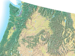
Northwest USA topo Map
173 miles away
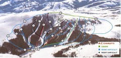
Pomerelle Ski Area Ski Trail Map
Trail map from Pomerelle Ski Area, which provides downhill, night, and terrain park skiing. It has...
176 miles away

Utah mountain resorts Map
178 miles away
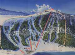
Big Horn Ski Resort Ski Trail Map
Trail map from Big Horn Ski Resort.
178 miles away
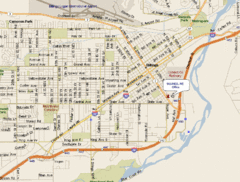
Billings, Montana City Map
178 miles away

