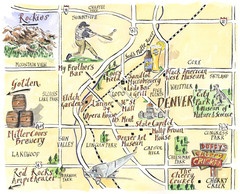
Denver Tourist Illustrated map
405 miles away
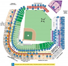
Coors Field Seating Chart Map
Seating chart of Coors Field, home of the MLB Colorado Rockies. This map shows all seating...
406 miles away
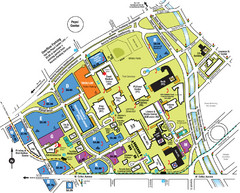
Auraria Campus Map
Map of Auraria Higher Education Center
406 miles away
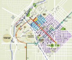
Downtown Denver map
Map of downtown Denver, CO. Shows streets, parks, light rail routes, the Colorado Convention...
406 miles away
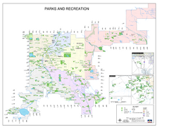
Denver City Parks map
Shows all city parks in the Denver metro area.
406 miles away
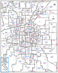
Denver, Colorado Zip Codes Map
406 miles away
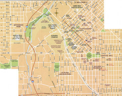
Denver, Colorado City Map
406 miles away
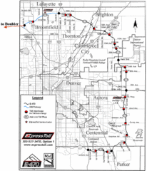
Denver Toll Road Map
406 miles away
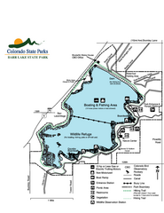
Barr Lake State Park Map
Map of park with detail of trails and recreation zones
406 miles away
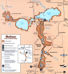
Malheur National Wildlife Refuge Map
Detailed Map of the Malheur Wildlife Refuge in Oregon showing places of interest, roads and...
406 miles away
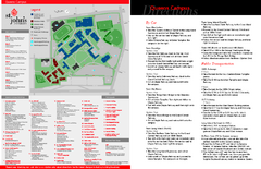
St. John's University Map
St. John's University Campus Map. All buildings shown.
406 miles away
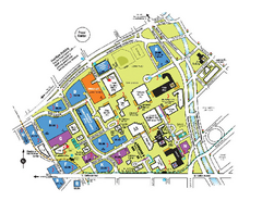
The University of Colorado at Denver and Health...
The University of Colorado at Denver and Health Sciences Center Campus Map. All buildings shown.
406 miles away
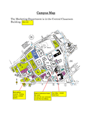
Metropolitan State College of Denver Map
Campus Map of Metropolitan State College of Denver. All buildings shown.
406 miles away
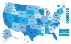
USA States Map
407 miles away
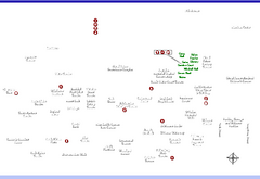
Denver Botanic Garden (York St) Map
407 miles away
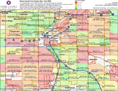
Denver Neighborhoods Map
407 miles away
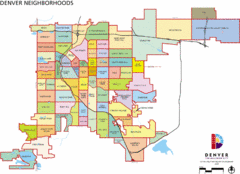
Denver Neighborhoods Map
407 miles away
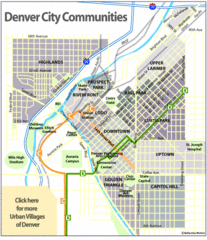
Central Denver Neighborhoods Map
407 miles away
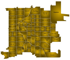
Denver Neighborhoods Map
407 miles away
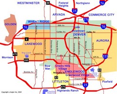
Denver Neighborhoods Map
407 miles away
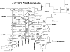
Denver Neighborhoods Map
407 miles away
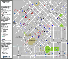
Downtown Denver, Colorado Tourist Map
407 miles away
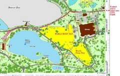
Denver City Park Map
408 miles away
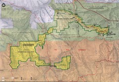
Badlands National Park Map
408 miles away
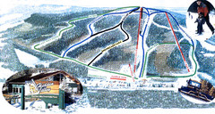
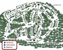
Hidden Valley Ski Trail Map
Trail map from Hidden Valley, which provides downhill skiing. This ski area has its own website.
409 miles away
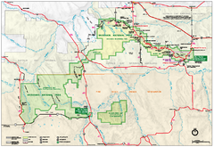
Official Badlands National Park Map
Official NPS map of Badlands National Park in South Dakota. The map shows all area's including...
409 miles away
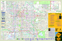
Denver Bike Map - Front
Shows all bike routes in the Denver metro area. This is the Front side of a 2-sided map.
409 miles away
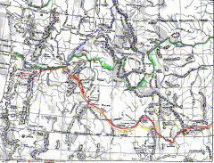
Oregon Trail Map
Old sketch map with modern cities, forts/ trading posts, and missions/churches superimposed. Shows...
410 miles away
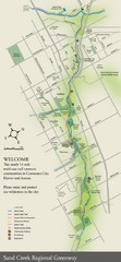
Sand Creek Regional Greenway Map
While the Sand Creek Regional Greenway trail is now usable, the Greenway will be under construction...
410 miles away
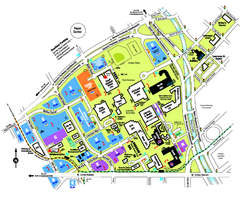
University of Colorado Denver Map
411 miles away
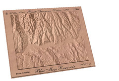
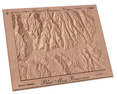
Blue Mesa Reservoir by Carvedmaps.com Map
Blue Mesa Reservoir carved by carvedmaps.com - Tom Justin artist
412 miles away
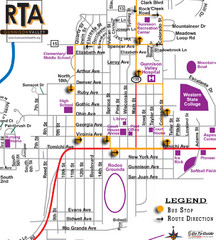
Gunnison RTA Bus Route Map
412 miles away
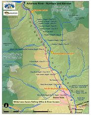
Arkansas River Numbers and Narrows Rafting Map
Rafting map of the Numbers and Narrows rapids sections of the Arkansas River near Buena Vista...
412 miles away
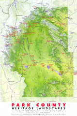
Park County Heritage Map
Shaded relief map of Park County, Colorado shows heritage landscapes, mountains, and
414 miles away
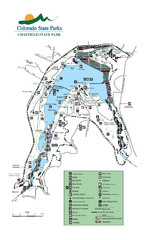
Chatfield State Park Map
Map of park with detail of recreation areas
414 miles away
Jackson Lake State Park Map
Map of park with detail of recreation areas
414 miles away
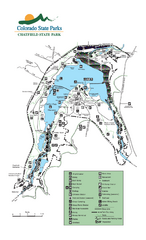
Chatfield State Park map
Detailed recreation map for Chatfield State Park in Colorado
414 miles away
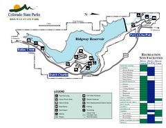
Ridgway State Park Map
Map of park with detail of recreation zones
415 miles away

