
HOP Route Map
Map of HOP bus route throughout Boulder
383 miles away
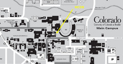
University of Colorado at Boulder Campus Map
383 miles away
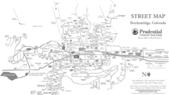
Breckenridge Town Map
383 miles away
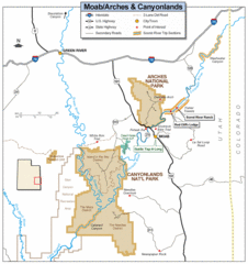
Canyonlands National Park Map
Clear map and key marking cities, rivers, highways and points of interest.
383 miles away
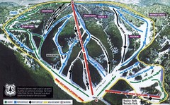
Bluewood Ski Trail Map
Trail map from Bluewood, which provides downhill, nordic, and terrain park skiing. It has 3 lifts...
383 miles away
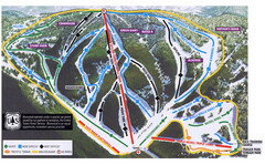
Bluewood Ski Trail Map
383 miles away

Montezuma Bowl Trail Map
384 miles away
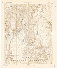
Topo Map of Capitol Reef Region (Fish Lake Quad...
This is one of four USGS maps done by the Powell survey and depicting the area around Capitol Reef...
385 miles away
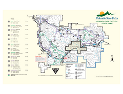
Golden Gate Canyon State Park Map
Map of park with detail of trails
386 miles away
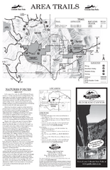
Eldorado Canyon State Park Map
Map of park with detail of trails and recreation zones
386 miles away
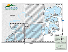
St. Vrain State Park Map
Map of park with detail of recreation zones
386 miles away
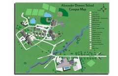
Alexander Dawson School Map
Campus map
387 miles away

Mt. Evans Contour Map
Guide to the area around Mt. Evans, near Denver, CO
388 miles away
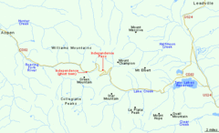
Independence Pass Area, Colorado Map
Basic map of the Independence Pass area near Aspen, Colorado. Independence Pass is the highest...
388 miles away
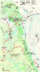
Capitol Reef National Park Official Map
Official NPS map of Capitol Reef National Park in Utah. Map shows all areas. The park and...
388 miles away
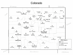
Colorado Airport Map
388 miles away
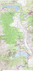
Leadville 100 Mountain Bike Race Map 2008
Race course for the 2008 Leadville 100 mountain bike race. Covers 100 miles.
388 miles away
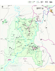
Canyonlands National Park Official Park Map
Official NPS map of Canyonlands National Park. Located in Utah. Map shows all areas but does not...
389 miles away
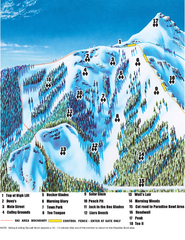
Crested Butte Mountain Resort Teocalli Bowl Ski...
Trail map from Crested Butte Mountain Resort, which provides downhill, nordic, and terrain park...
389 miles away
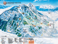
Crested Butte Mountain Resort Ski Trail Map
Trail map from Crested Butte Mountain Resort, which provides downhill, nordic, and terrain park...
389 miles away
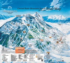
Crested Butte Mountain Resort Ski Trail Map
Official trail map of Crested Butte Mountain Resort, 2006-07 season.
390 miles away

Mt. Evans Road Wildflower Viewing Map
Shows wildflower viewing area at Mt. Goliath and Mt. Evans along Mt. Evans Road in Colorado. "...
390 miles away
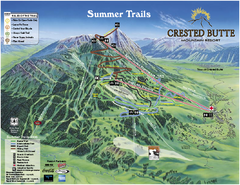
Crested Butte Mountain Resort Summer Trail Map
Official Crested Butte Mountain Resort summer trail map. Created by James Niehues.
390 miles away
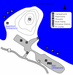
Otter Creek Reservoir Map
This quiet getaway is a great destination for ATV riders, boaters, and birders. Access three ATV...
390 miles away
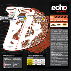
Echo Mountain Park Ski Trail Map
Trail map from Echo Mountain Park, which provides downhill, night, and terrain park skiing. It has...
390 miles away
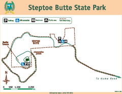
Steptoe Butt State Park Map
Map of park with detail of trails and recreation zones
390 miles away
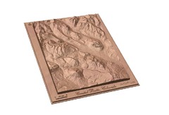
Carved Wooden Map of Crested Butte, Colorado by...
Crested Butte, CO Carved by CarvedMaps.com
390 miles away
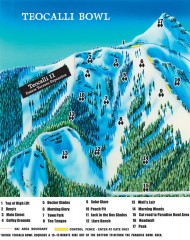
Crested Butte Mountain Resort Ski map - Teocalli...
Inset of the official Crested Butte trail map showing the experts-only Teocalli Bowl.
391 miles away
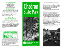
Chadron State Park Map
The majestic beauty of the Pine Ridge forms the backdrop for this great, get away from it all state...
391 miles away
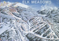
Elk Meadows Resort Ski Trail Map
Trail map from Elk Meadows Resort.
392 miles away
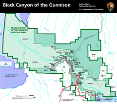
Black Canyon of the Gunnison National Park Map
Official NPS map of Black Canyon of the Gunnison in Colorado. Shows all areas including the South...
395 miles away
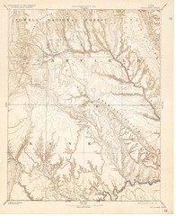
Topo Map of Escalante Quadrant, UT circa 1886
One of four USGS maps detailing the area around Capitol Reef National Park and Glen Canyon circa...
398 miles away
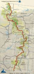
Continental Divide Trail Map
Guide to the full Continental Divide trail
399 miles away

Steens Mountain Topo Map
Topography map of the east side of Steens mountain in Oregon.
400 miles away
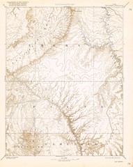
Topo Map of San Rafael Quadrant circa 1885
This is one of four USGS maps from the 1880's and 90's depicting the area around the...
401 miles away
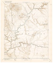
Henry Mtns Topo Map, circa 1892
One of a set of four maps circa 1890s by USGS depicting the area around the Henry Mtns and Capitol...
401 miles away
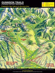
Gunnison Proposed Trails Map
Shows proposed trails from Gunnison, Colorado to Crested Butte, Colorado
402 miles away
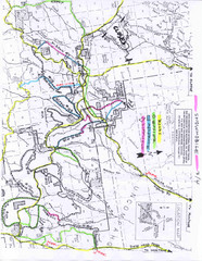
Uncompahgre National Forest Map
National Forest in Western Colorado
402 miles away
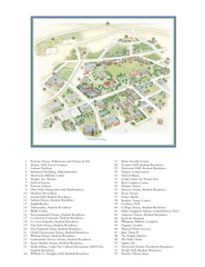
Whitman College Campus Map
Campus map of Whitman College in Walla Walla, WA
404 miles away
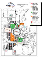
Denver, Colorado Invesco Field Parking Map
405 miles away

