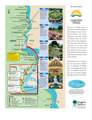
Niagara Garden Trail Map
Tourist map of attractions along the Garden Trail along the Canadian side of the St. Lawrence River...
39 miles away
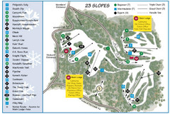
Caledon Ski Club Ski Trail Map
Trail map from Caledon Ski Club, which provides downhill skiing. This ski area has its own website.
40 miles away

Niagara Falls Map
Photographic Map of Niagara Falls - tourist / visitor information.
40 miles away
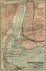
Antique map of Niagara Falls from 1894
"Niagara Falls" from Baedeker, Karl. The Dominion of Canada with Newfoundland and an...
40 miles away
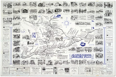
King's Highway Ontario Inn Map
Includes sketches of inns and guesthouses along the King's Highway in Ontario and...
42 miles away
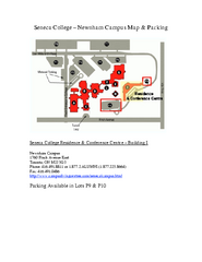
Seneca College - Newnham Campus Map
Seneca College - Newnham Campus Map. Located in Toronto, Canada. Shows all areas.
45 miles away
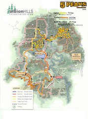
Albion Hills Running Course Map
Map shows the Enduro Course, Sport Course and Half Marathon Course for the 5 Peaks trail running...
47 miles away
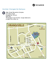
Humber College Orangeville Campus Map
Humber College Orangeville Campus Map. Shows all areas.
48 miles away
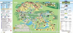
Toronto Zoo Map
Official map of the Toronto Zoo
51 miles away
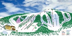
Hockley Valley Resort Ski Trail Map
Trail map from Hockley Valley Resort, which provides downhill skiing. This ski area has its own...
52 miles away
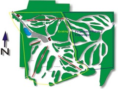
Cedar Highlands Ski Trail Map
Trail map from Cedar Highlands.
52 miles away
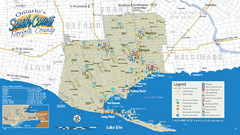
Norfolk County Tourist Map
Tourist map of Norfolk County, Ontario.
53 miles away

Downtown Buffalo Map
54 miles away
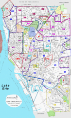
Buffalo, New York Tourist Map
54 miles away

Buffalo, New York City Map
54 miles away

University of Buffalo Campus Maps Map
North, South and Downtown
54 miles away
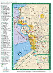
Buffalo, New York Map
Three tourist maps: one of the Buffalo, New York, area, one of the city of Buffalo, and one of...
54 miles away
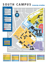
SUNY at Buffalo - South Campus Map
SUNY at Buffalo - South Campus Map. All buildings shown.
54 miles away
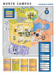
SUNY at Buffalo - North Campus Map
Campus Map of SUNY at Buffalo North campus. All buildings shown.
55 miles away
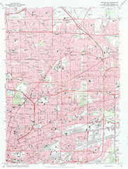
Northeast Buffalo Topo Map
1:24,000 topographic map of the northeast part of Buffalo, New York and surrounding suburbs...
56 miles away
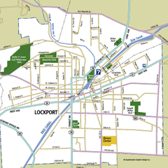
Lockport, New York Map
Map of downtown Lockport, New York, with parks, hospitals, and other points of interest shown.
57 miles away
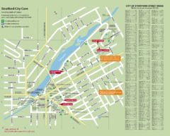
Stratford Tourist Map
Tourist map of center of Stratford, Ontario. Has street index and shows points of interest. Note...
59 miles away
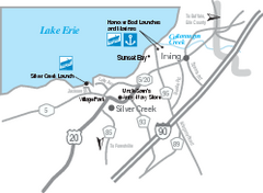
Silver Creek and Irving Map
Tourist map of Silver Creek and Irving, New York. Shows shops, boat ramps, and marinas.
59 miles away
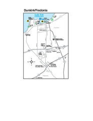
Dunkirk and Fredonia, New York Map
Tourist map of Dunkirk, New York, and Fredonia, New York. Shows shops, parks, lodging and other...
60 miles away
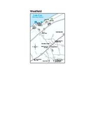
Westfield Map
Tourist map of Westfield, New York, and surrounding area. Shows shops, museums, boat ramps and...
65 miles away

Ski Dagmar Ski Trail Map
Trail map from Ski Dagmar, which provides downhill and nordic skiing. This ski area has its own...
65 miles away

Ski Lakeridge Ski Trail Map
Trail map from Ski Lakeridge, which provides downhill skiing. This ski area has its own website.
66 miles away
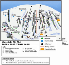
Ski Mansfield Ski Trail Map
Trail map from Ski Mansfield, which provides downhill skiing. This ski area has its own website.
67 miles away
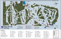
Buffalo Ski Club Trail Map
70 miles away
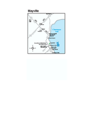
Downtown Mayville Map
Tourist map of Downtown Mayville, New York. Shows museums, restaurants, shops, government buildings...
71 miles away
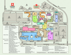
Fanshawe College Map
Campus map of London Campus
71 miles away

Georgina Historic Lakeshore Communities Map
73 miles away
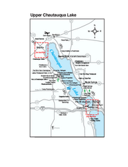
Upper Chautauqua Lake Map
Tourist map of upper Chautauqua Lake, New York. Shops, lodging, and other points of interest in the...
74 miles away
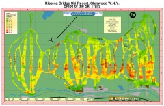
Kissing Bridge Ski Slope Map
Map of Kissing Bridge ski area; shows steepness of slopes with color-coding.
74 miles away
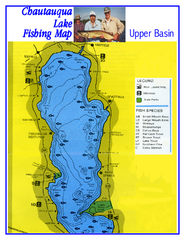
North Chautauqua Lake Fishing Map
Fishing map of northern Chautauqua Lake, New York. Shows marinas, boat ramps, state parks, and...
74 miles away
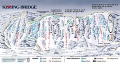
Kissing Bridge Ski Trail Map
Trail map from Kissing Bridge.
74 miles away
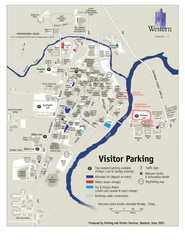
University of Western Ontario Map
Campus map
75 miles away
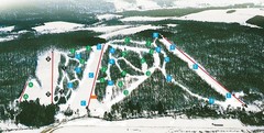
Cockaigne Ski Resort Ski Trail Map
Trail map from Cockaigne Ski Resort.
76 miles away

Presque Isle State Park map
Detailed recreation map for Presque Isle State Park in Pennsylvania
77 miles away
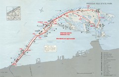
Erie Marathon Course Park Map
Map of marathon course and alternate course sidewalk trail for Erie Marathon in Presque Isle State...
77 miles away

