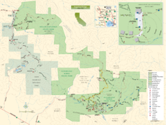
Sugarloaf Ridge State Park Map
Trail map of Sugarloaf Ridge State Park
61 miles away
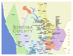
Wineries in Sonoma County, California Map
Map of winery locations in Sonoma County, California. Shows wineries, tasting rooms, and valleys of...
61 miles away
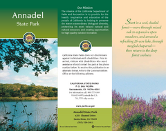
Annadel State Park Map
Map of park with detail of trails and recreation zones
61 miles away
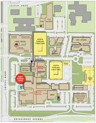
Memorial Medical Center Map
62 miles away
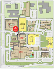
Memorial Medical Center Map
62 miles away
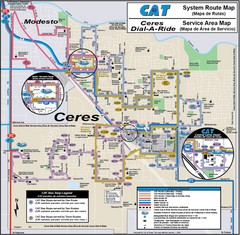
Ceres, CA Transportation Map
63 miles away
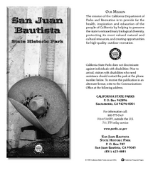
San Juan Bautista State Historic Park Map
Map of park with detail of trails and recreation zones
63 miles away

Greater Lake Berryessa Region Tourist Map
Tourist map of the Lake Berryessa region in Napa, California
64 miles away
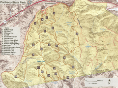
Pacheco State Park Trail Map
Map of park with details of different trails
65 miles away
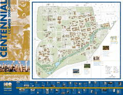
University of California Davis Campus Map
Campus map of UC Davis in Davis, California. Shows all buildings.
65 miles away
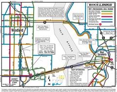
Davis, California BIke Map
66 miles away

Pacheco State Park Map
Map of park with detail of trails and recreation zones
66 miles away
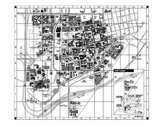
University of California at Davis Map
Campus Map of the University of California at Davis. All buildings shown.
66 miles away
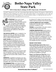
Bothe-Napa Valley State Park Map
Map of park with detail of of trails and recreation zones
67 miles away

Sebastopol Map
Map of Sebastopol and surrounding towns.
67 miles away

Lake Berryessa Map
Lake Berryessa Recreational Map, Napa County, California
67 miles away

Lake Berryessa Recreation Map
Lake Berryessa Recreational Map, Napa County, California
67 miles away

San Luis Reservoir State Recreation Area Map
Map of park and reservoir with detail of trails and recreation zones
69 miles away
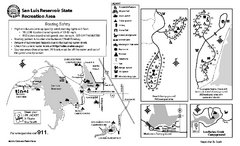
San Luis Reservoir State Recreation Area...
Map of campground region of park and reservoir with detail of trails and recreation zones
69 miles away

Fremont Peak State Park Map
Map of park with detail of trails and recreation zones
69 miles away
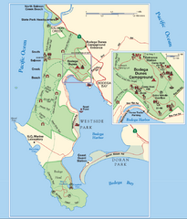
Bodega Bay Park Map
Park map of the Sonoma Coast State Beach park lands in Bodega Bay, California. Shows roads, trails...
70 miles away
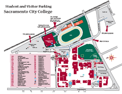
Sacramento City College Campus Map
Sacramento City Campus Map. All buildings shown.
71 miles away

Downtown Sacramento, California Map
Tourist map of Downtown Sacramento, California. Museums, lodging, shopping and other attractions...
73 miles away
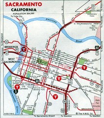
Sacramento, California City Map
73 miles away
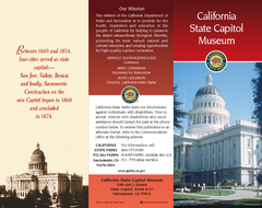
California State Capitol Museum Map
Map of museum and park
73 miles away
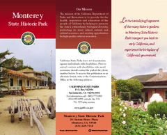
Monterey State Historic Park Map
Map of park with detail of trails and recreation zones
73 miles away
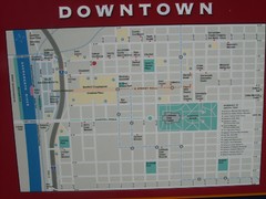
Downtown Sacramento City Map
City map of downtown Sacramento, California. From 2007 photo.
73 miles away
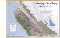
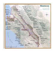
Monterey Wine Country: Appellation Overview Map
The Monterey region is world-famous for unparalleled scenic beauty, golf, and cuisine. Millions of...
73 miles away
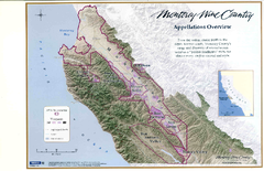
Monterey Wine Country: Appellation Overview Map
The Monterey region is world-famous for unparalleled scenic beauty, golf, and cuisine. Millions of...
73 miles away
Monterey Wine Country: Appellation Overview Map
The Monterey region is world-famous for unparalleled scenic beauty, golf, and cuisine. Millions of...
73 miles away
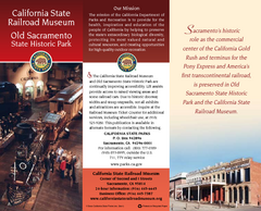
Old Sacramento State Historic Park Map
Map of park and museum with detail of trails and recreation zones
73 miles away
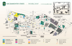
California State University at Sacramento Map
California State University at Sacramento Campus Map. All buildings shown.
73 miles away
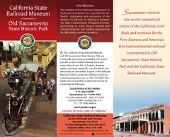
California Railroad Museum Map
Map of historic museum
73 miles away
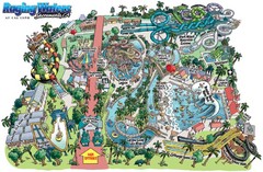
Raging Waters Sacramento Map
Fun and amusing water park for the whole family!
73 miles away
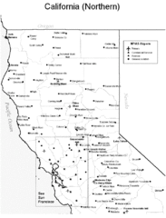
Northern California Airports Map
73 miles away
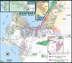
Monterey Area Map
Shows Monterey / Carmel area. Has legend on it with route highlighted to Naval housing.
73 miles away
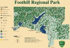
Foothill Regional Park Map
Park map of Foothill Regional Park in Sonoma County, California. Shows trails and 3 lakes.
74 miles away
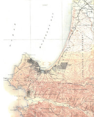
Monterey Map
74 miles away

Toro County Park Map
Trails of Toro County Park, Salinas Ca.
75 miles away

Laguna Seca Raceway Map
Overview map of the Laguna Seca Raceway. Shows track, parking, and facilities.
76 miles away

