
Santa Cruz, California City Map
46 miles away
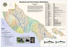
Steelhead and Coho Salmon Distribution Map...
Shows the current distribution of steelhead and resident rainbow trout and coho salmon in Santa...
46 miles away
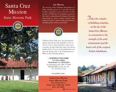
Santa Cruz Mission State Historic Park Map
Map of park and mission
46 miles away
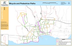
Santa Cruz, CA Bike Map
46 miles away
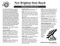
New Brighton State Beach Campground Map
Map of campground region of beach/park with detail of trails and recreation zones
47 miles away
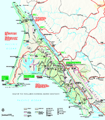
Point Reyes National Seashore Map
Official NPS map of Point Reyes National Seashore in Marin County, California. Shows trails, roads...
47 miles away
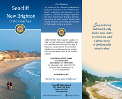
Seacliff & New Brighton State Beaches Map
Map of beaches and parks with detail of trails and recreation zones
47 miles away
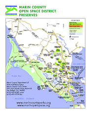
Marin Open Space Preserves Map
Shows all Open Space Preserves in Marin County, CA.
47 miles away
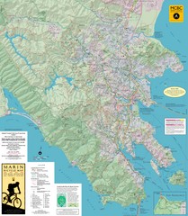
Marin, California Bike Map
47 miles away
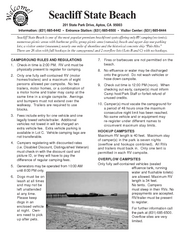
Seacliff State Beach Campground Map
Map of campground region of beach and park with detail of trails and recreation zones
47 miles away
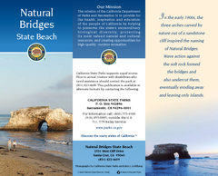
Natural Bridges State Beach Map
Map of beach and park with detail of trails and recreation zones
48 miles away
Henry W. Coe State Park Map
Map of park with detail of trails and recreation zones
48 miles away
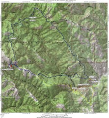
Henry Willard Coe State Park Topographical Map
Topographical map of Henry Willard Coe State Park. Includes roads, elevation information and some...
48 miles away
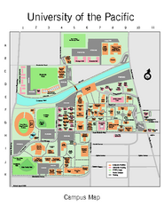
University of the Pacific Stockton Campus Map
Campus map of University of the Pacific, Stockton, California campus
49 miles away
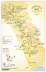
Sonoma Valley Winery Map
High quality map of Sonoma Valley wineries from the vinters and growers. Shows all key roads and...
49 miles away
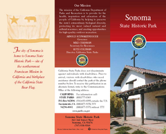
Sonoma State Historic Park Map
Map of park with detail of trails and recreation zones
49 miles away
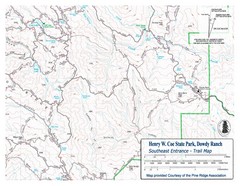
Henry W. Coe State Park, Dowdy Ranch Map
Henry W. Coe State Park Southeast Entrance Trail Map.
50 miles away
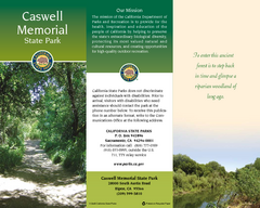
Caswell Memorial State Park Map
Map of park with detail of trails and recreation zones
51 miles away
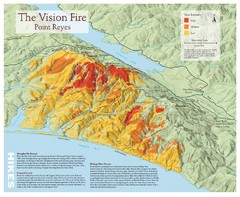
Point Reyes Vision Fire Map
Map of the burn intensity of the 1995 Vision Fire in Point Reyes National Seashore.
51 miles away
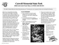
Caswell Memorial State Park Campground Map
Map of park with detail of trails and recreation zones
51 miles away

Geographic Subdivisions in California Map
52 miles away
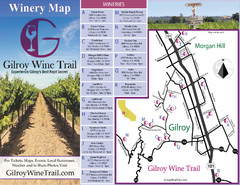
Gilroy Wine Tasting Map
53 miles away
Petaluma Adobe State Historic Park Map
Map of park with detail of trails and recreation zones
53 miles away
Sunset & Manresa State Beaches Map
Map of beaches and parks with detail of trails and recreation zones
53 miles away
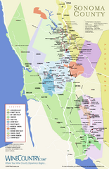
Sonoma Country Wine Map
Wine map of Sonoma, California area. Shows all vineyards.
53 miles away
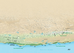
California Redwood Range Map
NPS prospective map of the coastal redwoord range in California, extending from Santa Cruz north to...
54 miles away

Glen Ellen Wine Tasting Map
54 miles away
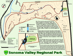
Sonoma Valley Regional Park Map
Trail map of 202 acre Sonoma Valley Regional Park.
55 miles away
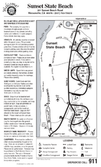
Sunset State Beach Campground Map
Map of park with detail of trails and recreation zones
55 miles away
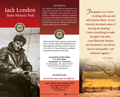
Jack London State Historic Park Map
Map of park with detail of trails and recreation zones
55 miles away
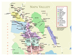
Napa County Wineries, California Map
Map of wineries in Napa County, California. Shows wineries and appellations.
55 miles away
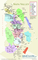
Napa Valley Wine Map
Wine map of Napa Valley, Napa, California. Shows all vineyards and shading by appellations from...
55 miles away
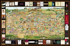
Lodi Valley Wine Map & Visitors Guide
A great source for information about the Lodi Wineries and our valleys rich Wine Region
57 miles away
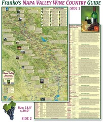
Napa Valley Wine Country Guide Map
Map of the Napa Valley Wine Country. With over 250 local Wineries listed. Printed on waterproof...
57 miles away
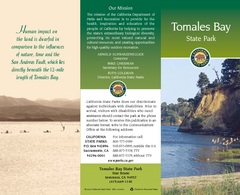
Tomales Bay State Park Map
Map of park with detail of trails and recreation zones
58 miles away
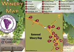
Kenwood Wine Tasting Map
59 miles away
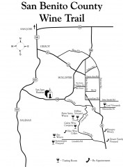
San Benito County Wine Trail Map
Wineries in the San Benito County, California area.
59 miles away
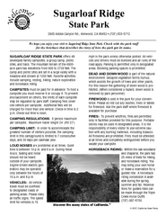
Sugarloaf Ridge State Park Campground Map
Map of park with detail of trails and recreation zones
60 miles away
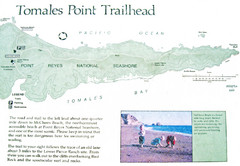
Tomales Point Trail Map
Map of the trail to Tomales Point in Point Reyes National Seashore, California. Also shows trail...
61 miles away
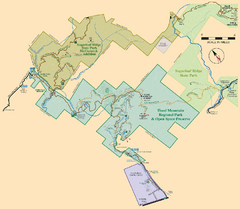
Hood Mountain Regional Park Map and Sugarloaf...
Park map of Hood Mountain Regional Park and Open Space Preserve and Sugarloaf Ridge State Park in...
61 miles away

