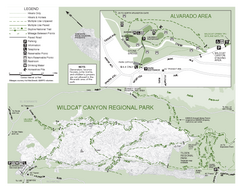
Wildcat Canyon Regional Park Map
23 miles away
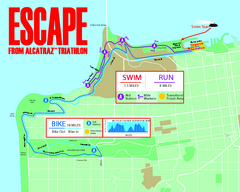
Escape From Alcatraz Triathlon Course Map 2009
Official course map of the 2009 Escape From Alcatraz Triathlon in San Francisco
23 miles away
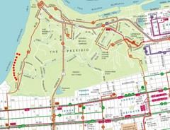
Baker Beach, San Francisco Tourist Map
23 miles away
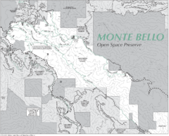
Monte Bello Open Space Preserve Map
Trail map of Monte Bello Open Space Preserve. Covers 3,142 acres and 15.5 miles of trails
23 miles away
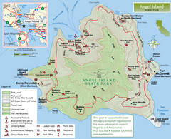
Angel Island State Park Map
Official map of Angel Island State Park in the San Francisco Bay. Shows paved and unpaved roads...
23 miles away
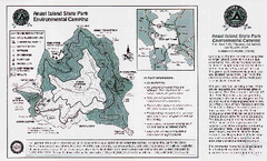
Angel Island State Park Map
Map of park with detail of trails and recreation zones
23 miles away
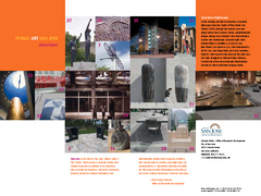
Public Art in Downtown San Jose, California Map
Shows locations of public art in downtown San Jose, California, as well as public transportation...
24 miles away
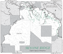
Skyline Ridge Open Space Preserve Map
Trail map of Skyline Ridge Open Space Preserve. Covers 2143 acres and 10.9 miles of trails
24 miles away
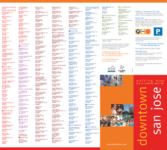
Walking Guide to Downtown San Jose, California Map
Tourist walking map of downtown San Jose, California. Lists and shows locations of dining, art...
24 miles away

Motorcycle Parking in Downtown San Jose...
Motorcycle parking map of downtown San Jose, California. Shows locations and inventory of parking...
24 miles away
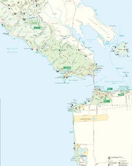
Golden Gate National Recreation Area Detail Map
24 miles away
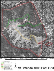
Mt. Wanda Aerial Trail Map
Trail map of Mt. Wanda area in the John Muir National Historic Site.
24 miles away
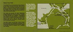
John Muir National Histroric Site Map
24 miles away
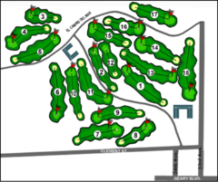
Lincoln Park Golf Course Map
24 miles away
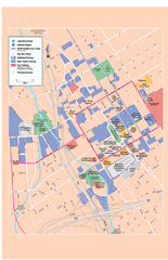
Downtown San Jose, California Map
Tourist map of downtown San Jose, California. Museums, theaters, parks, and other points of...
24 miles away
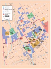
San Jose Downtown map
San Jose sowntown street map showing public transportation and parking.
24 miles away
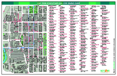
Dining in Downtown San Jose, California Map
Map of dining opportunities in downtown San Jose, California. Shows locations and telephone numbers...
25 miles away
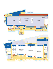
McEnery Convention Center, San Jose, California...
Floorplan map of McEnery Convention Center in San Jose, California.
25 miles away
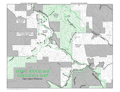
Long Ridge Open Space Preserve Map
25 miles away

San Jose, California City Map
25 miles away
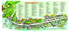
Sausalito Tourist Map
Visitor map of Sausalito, California. Shows restaurants, shopping, and other points of interest
25 miles away
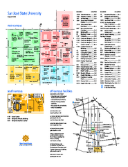
San Jose State University Map
Campus Map of San Jose State University in California. All buildings are shown.
26 miles away
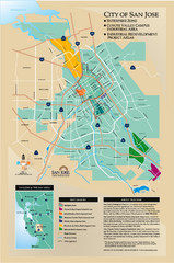
San Jose Enterprise Zone map
Map of Enterprise Zone in San Jose, CA
26 miles away
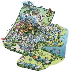
Raging Waters San Jose Map
Simple map of this fun water park for the whole family!
26 miles away
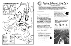
Portola Redwoods State Park Campground Map
Map of campground region of park with detail of trails and recreation zones
27 miles away
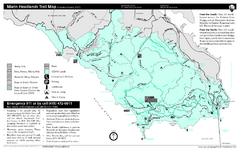
Marin Headlands Trail Map
Trail map of Marin Headlands in Marin County, California. Shows trails with distances by use type...
28 miles away
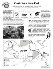
Castle Rock State Park Map
Map of park with detail of trails and recreation zones
29 miles away
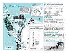
Point Pinole Regional Shoreline Map
29 miles away
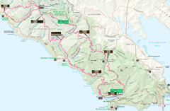
Headlands 50K Map (for 2011 race and future races)
Course For 2011 Headlands 50K
30 miles away
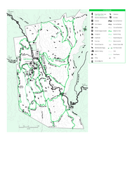
Joseph D. Grant County Park Map
Trail map of Joseph D Grant County Park in Santa Clara County, California
30 miles away
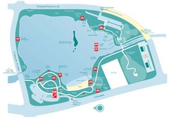
Almaden Lake Park Map
30 miles away
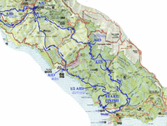
Golden Gate Headlands 50k Course Map
Here is a map of the 31-mile course for the Golden Gate Headlands: USATF National 50K Trail...
31 miles away
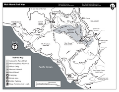
Muir Woods Trail Map
Black and white trail map of Muir Woods National Monument and surrounding Mount Tamalpais State...
31 miles away
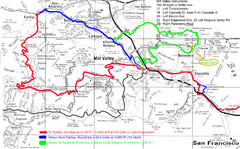
Alpine Dam Seven Sisters Road Bike Route Map...
Road biking route map for the classic Alpine Dam/Seven Sisters loop in Marin County from San...
31 miles away
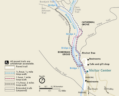
Muir Woods Trail Map
Shows paved loop walks and extended unpaved trails in Muir Woods National Monument, California
31 miles away
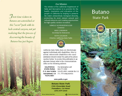
Butano State Park Map
Map of park with detail of trails and recreation zones
32 miles away
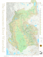
Sacramento River Watershed Map
The map shows, rivers, cities, counties, and roads surrounding the Sacramento River.
32 miles away
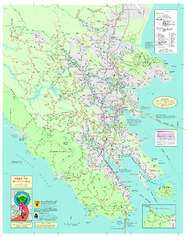
Marin Bicycle Map - Side A
Bike route map of Marin County, California. Shows primary and secondary road routes, paved and...
32 miles away
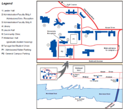
Touro University Map
Campus map of Touro University's Mare Island Campus.
32 miles away
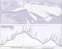
Dipsea Race Course Map
Course map of the annual Dipsea Trail Run Race. Shows birds-eye view and elevation profile of the...
32 miles away

