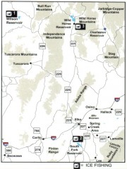
Icefishing Map, Elko County, Nevada
Map of ice fishing locations in Elko County, NV. Shows reservoirs, roads and towns.
412 miles away
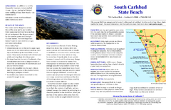
South Carlsbad State Beach Campground Map
Map of beach and park with detail of trails and recreation zones
413 miles away
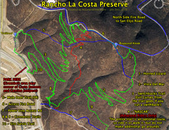
Rancho La Costa Preserve Trail Maps Map
Mountain Biking Trail Map for Rancho La Costa Preserve near San Diego.
418 miles away
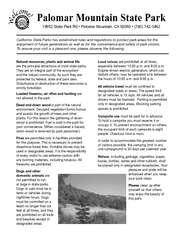
Palomar Mountain State Park Campground Map
Map of campground region of park with detail of trails and recreation zones
418 miles away
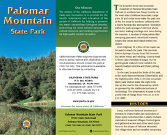
Palomar Mountain State Park Map
Map of park with detail of trails and recreation zones
418 miles away
Palomar Mountain State Park Trail Map
Map of doane valley trail in park
418 miles away
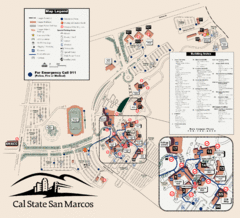
Cal State San Marcos Campus Map
Campus map of Cal State San Marcos in San Marcos, CA
418 miles away
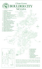
Boulder City Map
Map of Boulder City, Nevada. Shows points of interest and parks.
418 miles away
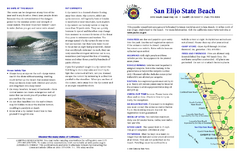
San Elijo State Beach Campground Map
Map of campground region of beach and park with detail of trails and recreation zones
419 miles away
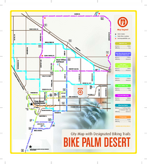
Palm Desert Biking Map
Biking route and trail map of Palm Desert, California
420 miles away
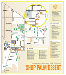
Palm Desert Shopping Map
Visitor map/shopping guide of Palm Desert
420 miles away
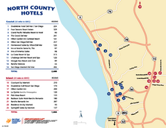
North County San Diego Tourist Map
Tourist map of North County area of San Diego, with hotel listings
420 miles away
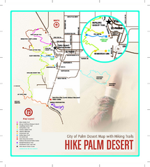
Palm Desert Hiking Trail Map
Trail map of Palm Desert, California. Shows hiking trails leaving right from town
420 miles away
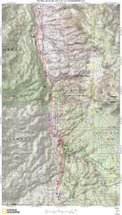
Palm Canyon Epic Map
Palm Canyon Trail - This point-to-point route takes you through a varied array of desert trails...
423 miles away
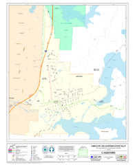
Lakeside Oregon Road Map
425 miles away
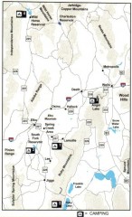
Camping in Elko County, Nevada Map
Map of camping opportunities in Elko County, Nevada, showing camp grounds, roads and towns.
425 miles away
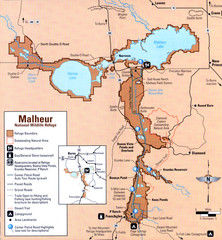
Malheur National Wildlife Refuge Map
Detailed Map of the Malheur Wildlife Refuge in Oregon showing places of interest, roads and...
425 miles away
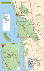
Torrey Pines State Beach and Reserve Map
Topo map of Torrey Pines State Beach and Reserve near San Diego, CA. Rated the #9 beach in America...
426 miles away
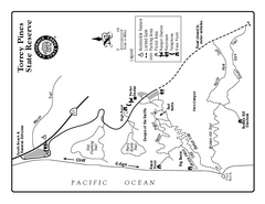
Torrey Pines State Reserve Trail Map
Map of park with detail of trails and recreation zones
426 miles away
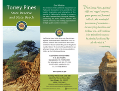
Torrey Pines State Park Map
Map of park with detail of trails and recreation zones
426 miles away
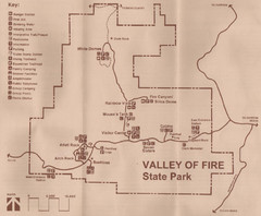
Valley of Fire State Park Map
Scanned from park brochure
427 miles away
Toro Peak Elevation Map
Created with PALSAR Technology.
428 miles away
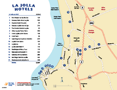
La Jolla Tourist Map
Tourist map of La Jolla, with hotel listings
429 miles away
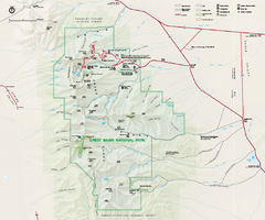
Great Basin National Park Map
Official NPS park map of Great Basin National Park. Shows all roads, trails, and facilities...
433 miles away
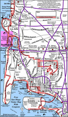
Pacific Beach, San Diego Tourist Map
433 miles away
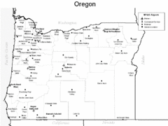
Oregon Airport Map
434 miles away
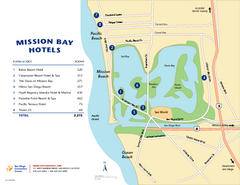
Mission Bay Tourist Map
Tourist map of the Mission Bay area of San Diego, with hotel listings
435 miles away
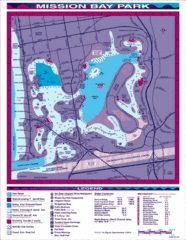
Mission Bay, San Diego Tourist Map
435 miles away
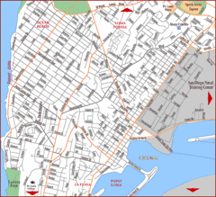
Ocean Beach, San Diego Tourist Map
436 miles away
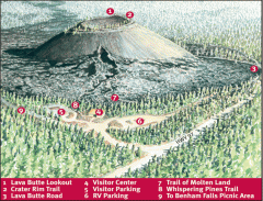
Newberry National Volcanic Monument - Lava Lands...
Map of Lava Butte which rises 500 feet above the visitor center. This cinder cone erupted 7,000...
436 miles away
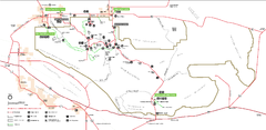
Joshua Tree National Park Official Park Map
Official NPS map of Joshua Tree National Park in California. Map shows all areas. The park is...
436 miles away
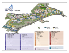
University of San Diego Campus Map
436 miles away
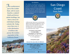
San Diego Coast State Parks & Beaches Map
Map of state parks and beaches along the San Diego coastline
436 miles away

Partial San Diego Map
San Diego County of Education location
437 miles away
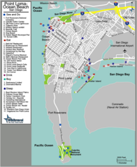
Ocean Beach Tourist Map
437 miles away
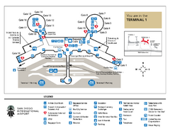
San Diego International Airport Terminal 1 Map
Official Map showing Terminal 1 at San Diego International Airport.
437 miles away
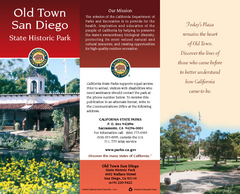
Old Town San Diego State Historic Park Map
Map of park with detail of trails and recreation zones
437 miles away
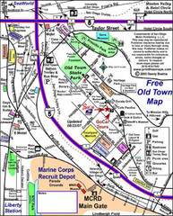
Old Town San Diego Tourist Map
437 miles away
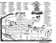
Old Town Map
437 miles away

