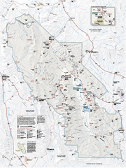
Death Valley National Park map
Official NPS map of Death Valley National Park. Shows all roads (paved and unpaved), 4 wheel drive...
305 miles away

Nevada Map
306 miles away
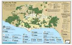
Santa Monica Mountains Area Trail map
Trail map of the Santa Monica Mountains National Recreation Area. Highlights information about...
306 miles away
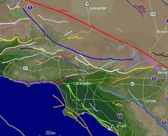
Southern California Fault Lines Map
The red line on this map of southern California is the San Andreas fault. Other lines represent...
307 miles away
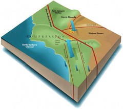
Southern California Compressional Fold Belts Map
Diagram of southern California showing the San Andreas Fault as a master player in a tectonic...
307 miles away
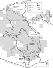
Zuma Trancas Canyon Map
Trail map of Zuma Canyon and Trancas Canyon near Malibu, CA in the Santa Monica Mountains. End of...
309 miles away
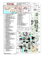
California State University at Northridge Map
Campus Map of the California State University at Northridge. All buildings shown.
309 miles away
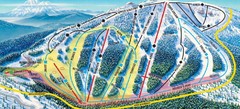
Mt. Ashland Ski Trail Map
Ski trail map of Mt. Ashland ski area near Ashland, Oregon
309 miles away
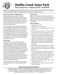
Malibu Creek State Park Campground Map
Map of campground region of park with detail of trails and recreation zones
310 miles away
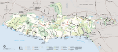
Santa Monica Mountains National Recreation Area...
Map of the entire Santa Monica Mountains National Recreation Area
310 miles away
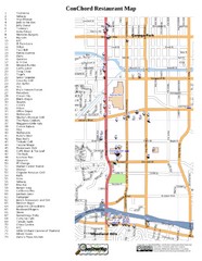
Woodland Hills, California Restaurant Map
310 miles away
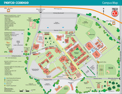
Pierce College Campus Map
Pierce College Campus Map. Located in Woodland Hills, California. Shows all areas.
310 miles away
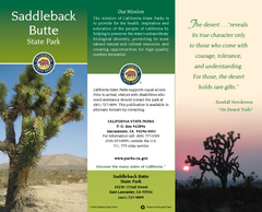
Saddleback Butte State Park Map
Map of park with detail of trails and recreation zones
316 miles away
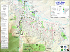
Ashland Trails Map
Trail map of Ashland, Oregon. Shows bicycle routes and public parks and trails.
316 miles away
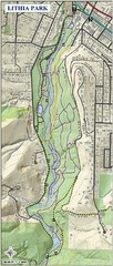
Lithia Park Trail Map
Trail map of Lithia Park in town of Ashland, Oregon. Adjacent to the Oregon Shakespeare Festival.
316 miles away
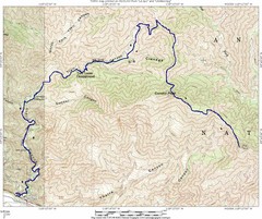
Ybarra Canyon Trail Map
Ybarra Canyon in the Angeles National Forest.
316 miles away
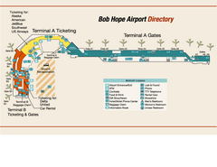
Burbank "Bob Hope" Airport Terminal Map
Official Terminal Map of Bob Hope Airport in Burbank, California. Shows all areas.
318 miles away
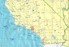
Southern California Map
318 miles away

BTS Route Map
Map of BTS bus routes throughout Klamath Falls
318 miles away
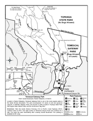
Temescal Canyon Trail Map
Trail map of Temescal Gateway Park, Temescal Canyon, and adjoining section of Topanga State Park...
319 miles away
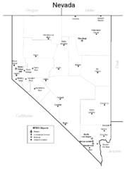
Nevada Airports Map
319 miles away
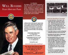
Will Rogers State Historic Park Map
Map of park with detail of trails and recreation zones
319 miles away
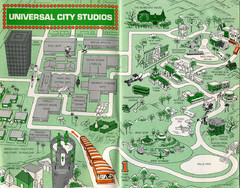
1966 Universal Studios Guide Map
321 miles away
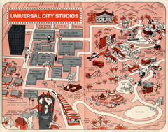
1968 Universal Studios Guide Map
A 1968tour guide map of Universal Studios
321 miles away
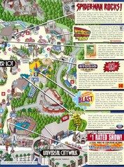
Universal Studios in Hollywood Tourist Map
Features and landmarks at Universal Studios in Hollywood, CA
321 miles away
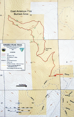
Grizzly Peak Trail Map
Topographic trail map of Grizzly Peak near Ashland, Oregon. Shows trails and distances. From...
321 miles away

Ronald Reagan ULCA Medical Center Building Map
Pocket map to the medical center campus
321 miles away

Ronald Reagan ULCA Medical Center Map
Pocket Map to the medical center campus
321 miles away
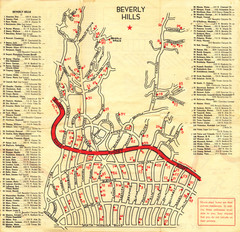
Beverly Hills stars homes map
322 miles away
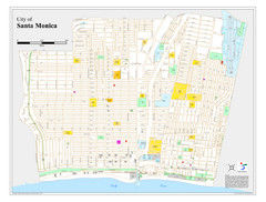
Santa Monica City Map
City map of Santa Monica, California
322 miles away
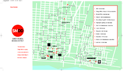
Design District, Santa Monica, California Map
Map of modern design showrooms in downtown Santa Monica, California.
322 miles away
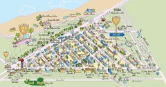
Beverly Hills, California Map
Tourist map of Beverly Hills, California. Shopping, restaurants, lodging and points of interest are...
322 miles away
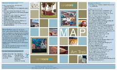
Art Trek Tour Map, Santa Monica, California
Art Trek tour map of 93 of the 120+ museums, art galleries and public displays in Santa Monica...
322 miles away
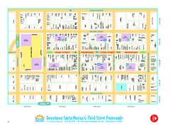
Downtown Santa Monica walking map
Detailed tourist map of Downtown Santa Monica and the Third Street Promenade in Los Angeles...
322 miles away
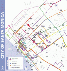
Big Blue Bus Lines in Downtown Santa Monica...
Map of bus lines serving downtown Santa Monica, California. Also shows points of interest such as...
323 miles away
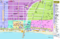
Santa Monica, California Map
Tourist map of Santa Monica, California, showing lodging, museums, visitor centers, and other...
323 miles away
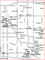
West Hollywood Art Gallery map
Art Gallery map of West Hollywood in Los Angeles
323 miles away
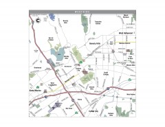
Westside Los Angeles, California Map
Tourist map of the Westside area of Los Angeles, California. Museums, parks, the UCLA campus, and...
323 miles away
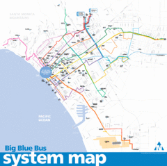
Big Blue Bus System Map
323 miles away

