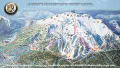
Mammoth Mountain Ski Trail map 2005
Official ski trail map of Mammoth Mountain ski area from the 2005-2006 season.
169 miles away
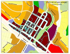
City of Atascadero Map
169 miles away
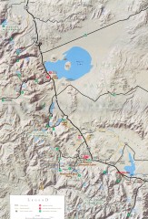
Eastern Sierra Trailhead Map - Lee Vining and...
Shows ranger stations and major trailheads in the eastern Sierra Nevada in the Mono Lake and...
169 miles away

Mammoth Mountain Downhill Skiing Trails Map
Downhill skiing trails on Mammoth Mountain, near Mammoth Lakes, California. Shows trails and their...
170 miles away
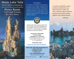
Mono Lake Tufa State Natural Reserve Map
Map of reserve with detail of trails and recreation zones
170 miles away
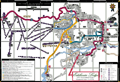
Mammoth Town Map
Map of Mammoth, including shuttle lines
171 miles away
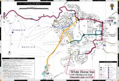
Mammoth Town Map
Town of Mammoth Lakes with shuttle lines included
171 miles away

Sierra High Route Map
Guide to the Sierra High Route, one of the most challenging treks in the Sierras
171 miles away
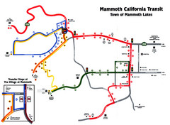
Mammoth Transit Map
Map of Mammoth transit system
172 miles away
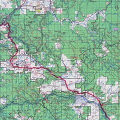
Lassen National Park Map
Forest Visitor Map showing locations of most camping and recreational areas in the eastern part of...
172 miles away

Bodie State Park SW Map
Map of park with detail of trails and recreation zones
173 miles away
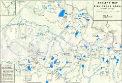
Fish Creek Area Anglers' Map
Hand-drawn fishing map of lakes, peaks, and trails in the Fish Creek Area of the John Muir...
173 miles away

Bodie State Park SE Map
Map of park with detail of trails and recreation zones
173 miles away
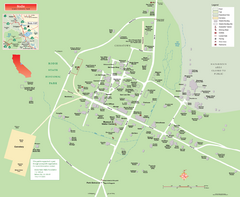
Bodie State Park Map
Map of park with detail of trails and recreation zones
173 miles away

Bodie State Park NW Map
Map of park with detail of trails and recreation zones
173 miles away

Bodie State Park NE Map
Map of park with detail of trails and recreation zones
174 miles away
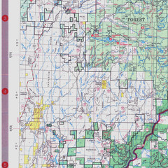
Lassen National Park Map
Visitor Map that shows most of Lassen National Forest with locations of camp grounds and...
174 miles away
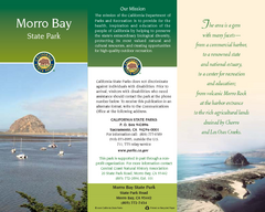
Morro Bay State Park Map
Map of park with detail of trails and recreation zones
174 miles away
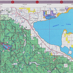
Lassen National Park Map
Forest Visitor Map of the farthest east of the park, shows all camping and recreational areas and...
176 miles away

San Joaquin Valley Air Basin Map
This map is used to track air monitoring locations in periodic progress reports.
177 miles away

William B. Ide Adobe State Historic Park Map
Map of park with detail of trails and recreation zones
177 miles away
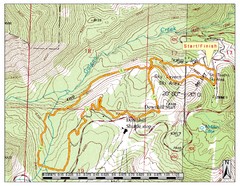
Sky Tavern XC Route Map
Topo map of the XC course for the cycling event.
179 miles away

Reno Tahoe Tourist Map
180 miles away

Reno, Nevada City Map
180 miles away

Downtown Reno, Nevada Map
Tourist map of Reno, Nevada. Event and convention centers, visitor's center, parks, and other...
180 miles away
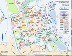
Cal Poly Campus Map
Cal Poly University at San Luis Obispo Campus Map. Includes all buildings, streets, sports fields...
180 miles away
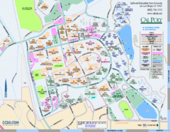
Cal Poly Campus Map
Campus map of California Polytechnic State University in San Luis Obispo, CA
180 miles away
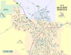
San Luis Obispo City Map - Northern Portion
City map of northern portion of San Luis Obispo, California
181 miles away
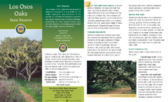
Los Osos Oaks State Reserve Map
Map of reserve with detail of trails and recreation zones
181 miles away
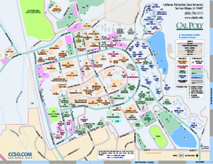
California Polytechnic State University Map
California Polytechnic State University Campus Map. All buildings shown.
182 miles away
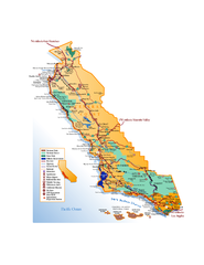
California Central Coast Map
Large tourist map of California's Central Coast. From Monterey to Santa Barbara. Shows all...
182 miles away
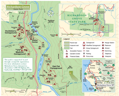
Richardson Grove State Park Map
Park map of Richardson Grove State Park, California. Shows trails, campgrounds, and other...
188 miles away
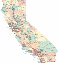
California Road Map
189 miles away
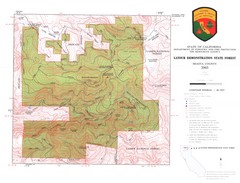
Latour State Forest Map
Countour map of the Latour Demonstration Forest.
189 miles away
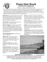
Pismo Beach North Campground Map
Map of park with detail of trails and recreation zones
192 miles away
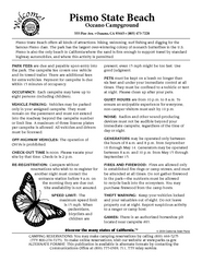
Pismo Beach Oceano Campground Map
Map of oceano campground region of park with detail of trails and recreation zones
193 miles away

Colonel Allensworth State Historic Park Map
Map of park with detail of trails and recreation zones
194 miles away
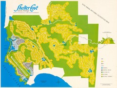
Shelter Cove Map
Shelter Cove Subdivision Map. Shows all streets, houses, commercial buildings, gas stations, and...
196 miles away
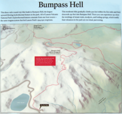
Bumpass Hell Trail Map
Trail map of route to Bumpass Hell, a major area of geo-thermal activity in Lassen National Park...
198 miles away
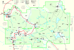
Lassen Volcanic National Park Official Park Map
Official NPS map of Lassen Volcanic National Park in California. Map shows all areas. Lassen...
200 miles away

