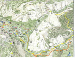
Half Dome view from Glacier Point Map
139 miles away
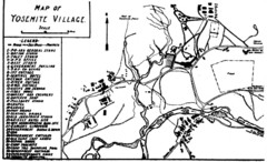
Yosemite Village Guide Map
139 miles away
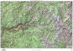
Island Pass to Yosemite Village Topo Map
139 miles away
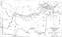
Yosemite Valley Automobile Guide Map 1963
Yosemite Valley and Vicinity with Elevations
139 miles away
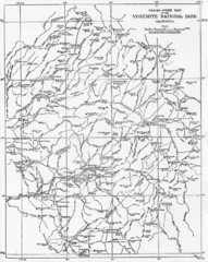
1914 Yosemite National Park Map
139 miles away

John Muir Trail Elevation Map
Profile, Elevation, Landmarks and Mileage for the John Muir Trail entertainment not accurate enough...
140 miles away
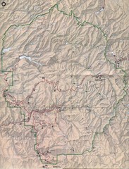
Yosemite National Park Map
Yosemite National Park Map. Shows location of all hiking trails, camp grounds, visitor center and...
140 miles away
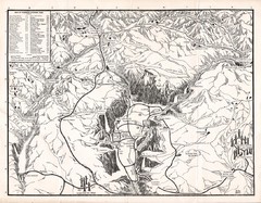
Yosemite National Park Map
Map of Yosemite National Park, 1948
140 miles away
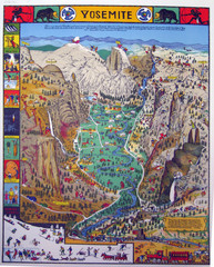
Yosemite National Park Visitor Map
Colorful Visitor Map of Yosemite National Park. Illustrates location of hiking trails, camp...
140 miles away
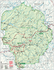
Yosemite National Park official map
Official park map showing trails, roads, campgrounds, ranger stations, parking, picnic areas, and...
140 miles away
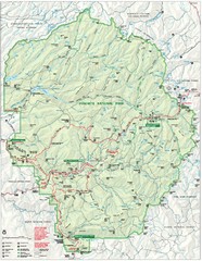
Yosemite National Park Map
Detailed Park Map of Yosemite National Park. Includes all camping areas, trails, roads...
141 miles away
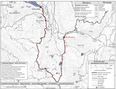
Tahoe Rim Trail: Big Meadow to Echo Lake Map
Topographic hiking map of the Big Meadow-Echo Lake leg of the Tahoe Rim Trail. Bike and pedestrian...
141 miles away

Granite Chief Wilderness Map
Trail map of Granite Chief Wilderness in Lake Tahoe region. Shows trails (inlcuding Pacific Crest...
141 miles away
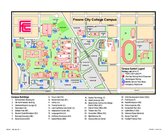
Fresno City College Campus Map
Fresno City College Campus Map. Shows all areas.
141 miles away
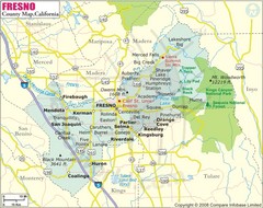
Fresno, California City Map
142 miles away
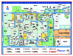
California State University - Fresno Map
California State University - Fresno Campus Map. All areas shown.
142 miles away
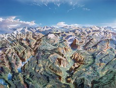
Yosemite oblique Map
Oblique Panorama map of Yosemite National Park
142 miles away
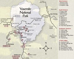
Yosemite National Park Map
142 miles away
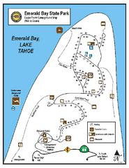
Emerald Bay State Park Campground Map
Map of park with detail of trails and recreation zones
142 miles away
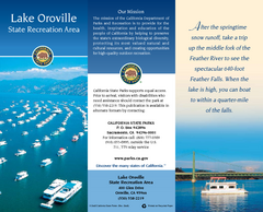
Lake Oroville State Recreation Area Map
Map of recreation area with detail of trails and recreation zones
142 miles away

Millerton Lake State Recreation Area Park Map
Map of park with detail of trails and recreation zones
142 miles away
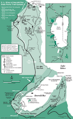
Emerald Bay State Park and DL Bliss State Park...
Trail map of Emerald Bay State Park and DL Bliss State Park on the shores of Lake Tahoe, California
143 miles away
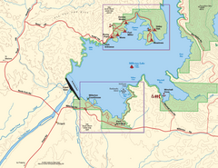
Millerton Lake State Recreation Area SW Map
Map of SW region of park with detail of trails and recreation zones
143 miles away
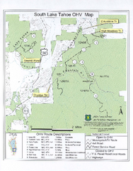
South Lake Tahoe Off-Highway Vehicle Map
Off-Highway Vehicle Map of South Lake Tahoe, California. Shows roads open to motorcycles, ATVs, and...
143 miles away
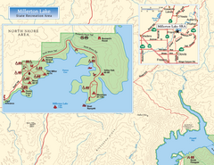
Millerton Lake State Recreation Area NW Map
Map of NW region of park with detail of trails and recreation zones
143 miles away

Millerton Lake State Recreation Area NE Map
Map of NE region of park with detail of trails and recreation zones
143 miles away
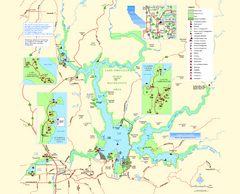
Lake Oroville State Recreation Area Map
Map of recreation area with detail of trails and recreation zones
143 miles away
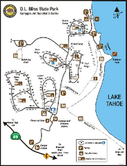
D.L. Bliss State Park Campground Map
Map of park with detail of trails and recreation zones
143 miles away
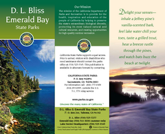
D.L. Bliss State Park Map
Map of park with detail of trails and recreation zones
143 miles away
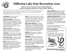
Millerton Lake State Recreation Area Campground...
Map of campground region of park with detail of trails and recreation zones
143 miles away
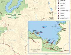
Millerton Lake State Recreation Area SE Map
Map of SE region of park with detail of trails and recreation zones
143 miles away
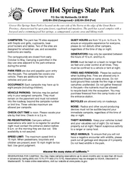
Grover Hot Springs State Park Campground Map
Map of park with detail of trails and recreation zones
143 miles away

Sugar Pine Point State Park South Map
Map of southern region of park with detail of trails and recreation zones
143 miles away
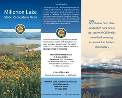
Millerton Lake State Recreation Area Map
Map of park with detail of trails and recreation zones
143 miles away
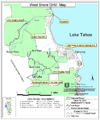
West Shore Lake Tahoe Off-highway Vehicle Map
Off-highway vehicle map of the West Shore of Lake Tahoe. Roads open to motorcycles, ATVs, and 4x4s...
143 miles away
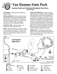
Van Damme State Park Campground Map
Map of campground region of park with detail of trails and recreation zones
144 miles away

Yosemite Valley Park Map
Guide Map of the Yosemite National Forest
144 miles away
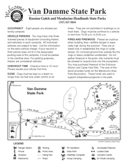
Van Damme State Park Campground Map
Map of campground region of park with detail of trails and recreation zones
144 miles away

Van Damme State Park Map
Park map of Van Damme State Park near Mendocino, California. Show Fern Valley Trail through...
144 miles away


