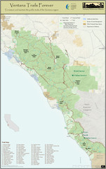
Ventana Wilderness Trails Map
Trail map of the Ventana Wilderness east of Big Sur. Also shows trails in the Silver Peak...
110 miles away
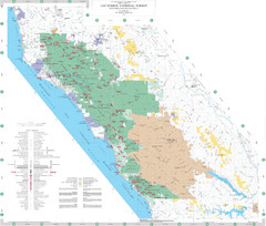
Los Padres National Forest Map - North
Overview map of the northern section of Los Padres National Forest in the Monterey Ranger District...
113 miles away

Northern California Fire Detection Map
Fires in Northern California
114 miles away

Relative Motion of Pacific and North American...
Diagram illustrating the plate-tectonic setting of southern California (image source: USGS general...
115 miles away

Limeklin State Park Map
Map of park with detail of trails and recreation zones
117 miles away
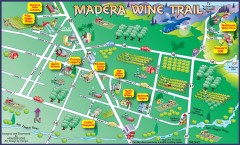
Madera wine map
Tourist map of Madera, California showing Madera Vinters and area wineries.
121 miles away
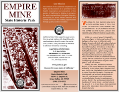
Empire Mine State Historic Park Map
Map of park with detail of trails and recreation zones
122 miles away
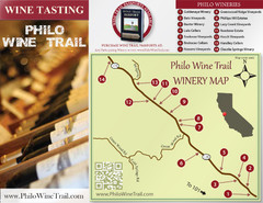
Philo Wine Map
Shows wineries great for wine tasting in the Anderson Valley along Route 128 in Philo California.
122 miles away
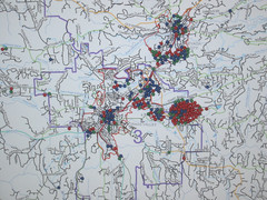
Nevada County Economic Resource Council Activity...
The ERC supports many different businesses in western Nevada County. We provide business assistance...
123 miles away
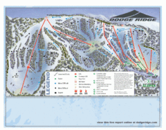
Dodge Ridge Ski Area Ski Trail Map
Trail map from Dodge Ridge Ski Area, which provides downhill, nordic, and terrain park skiing. It...
123 miles away
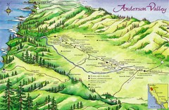
Anderson Valley Wine Map
Shows wineries/vineyards in Anderson Valley, California along Route 128 from Navarro, California to...
123 miles away
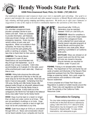
Hendy Woods State Park Campground Map
Map of campground region park with detail of trails and recreation zones
124 miles away
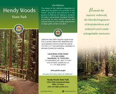
Hendy Woods State Park Map
Map of park with detail of trails and recreation zones
124 miles away
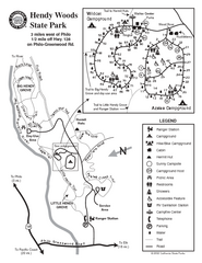
Hendy Woods State Park Map
Park map of Hendy Woods State Park in Philo, California. Shows trails, campgrounds, and other...
124 miles away
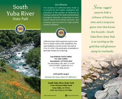
South Yuba River State Park Map
Map of park with detail of trails and recreation zones
125 miles away
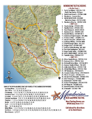
Mendocino Beer and Wine Tasting Map
Beer and wine tasting map of Mendocino county, California. Show breweries and wineries on the...
126 miles away
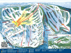
Bear Valley Ski Trail Map
Official ski trail map of Bear Valley ski area from the 2007-2008 season.
126 miles away
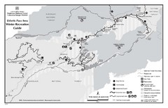
Ebbetts Pass Area Map
Guide to Winter Recreation at Ebbetts Pass
128 miles away
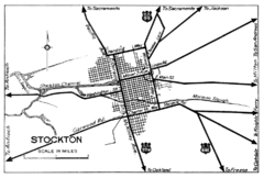
Stockton, California City Map
128 miles away
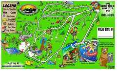
Harmony Ridge Resort Map
129 miles away

California Counties Map
131 miles away
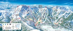
Kirkwood Ski Trail map 2006-07
Official ski trail map of Kirkwood ski area for the 2006-2007 season.
132 miles away
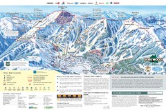
Kirkwood Ski Trail Map
Trail map from Kirkwood, which provides downhill, nordic, and terrain park skiing. It has 14 lifts...
132 miles away
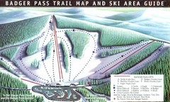
Badger Pass Ski Trail Map
Official ski trail map of Badger Pass ski area
134 miles away
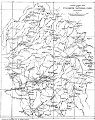
Yosemite Park Map (before development)
Map of Yosemite Park before valley development, showing only Portal Road
134 miles away
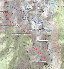
Pyramid Peak Ski Route Map
Backcountry ski route map of Pyramid Peak 9983 ft in the Desolation Wilderness near Lake Tahoe...
135 miles away
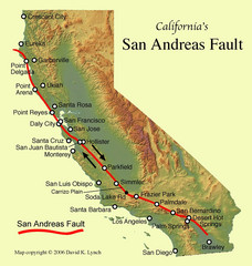
San Andreas Fault, California Map
136 miles away
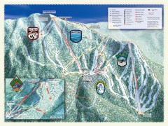
Sierra-at-Tahoe Ski Trail Map
Official ski trail map of Sierra-at-Tahoe ski area from the 2007-2008 season.
136 miles away
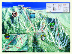
Sierra-at-Tahoe Ski Trail Map
Trail map from Sierra-at-Tahoe, which provides downhill and terrain park skiing. It has 12 lifts...
136 miles away
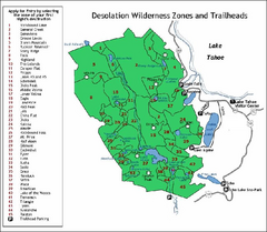
Desolation Wilderness, Lake Tahoe, California Map
Map of Desolation Wilderness, southwest of Lake Tahoe, California. Shows pack-in camping zones...
136 miles away
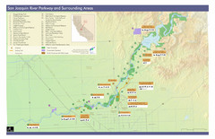
San Joaquin River Parkway Map
Map of the San Joaquin River Parkway. "The San Joaquin River Parkway is a mosaic of parks...
136 miles away
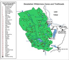
Desolation Wilderness Permits Zone Map
Zone and trailhead map of the Desolation Wilderness near Lake Tahoe, California. Use to figure out...
137 miles away
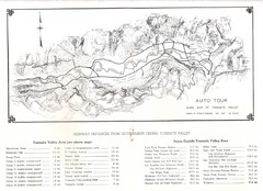
Yosemite Valley Auto Tour Map
Auto tour guide map of Yosemite, 1937
137 miles away
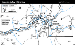
Yosemite Valley Trail Map
Trail map of hiking trails in Yosemite Valley, Yosemite National Park, California.
138 miles away
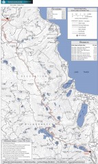
Tahoe Rim Trail: Echo Lake to Barker Pass Map
Topographic hiking map of the Echo Lake-Barker Pass leg of the Tahoe Rim Trail. Shows pedestrian...
138 miles away
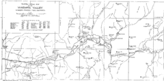
Yosemite Valley Map
Map of the valley and key elevations
138 miles away
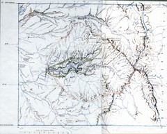
Proposed Yosemite National Park Map 1890
John Muir's map of proposed Yosemite National Park, California. Green is the original 1864...
138 miles away
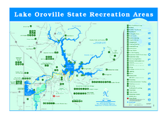
Lake Oroville State Recreation Area Map
Recreation overview map of Lake Oroville State Recreation Area near Oroville, California. Show all...
138 miles away
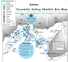
Yosemite Valley Shuttle Map
138 miles away

Yosemite National Park Guide Map
Guide map of Yosemite National Park
139 miles away

