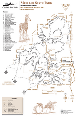
Mueller State Park Trail Map
Map of park with detail of hiking trails
373 miles away

University of Colorado at Colorado Springs Map
374 miles away
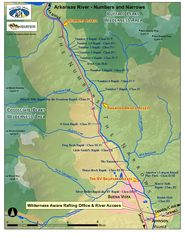
Arkansas River Numbers and Narrows Rafting Map
Rafting map of the Numbers and Narrows rapids sections of the Arkansas River near Buena Vista...
375 miles away
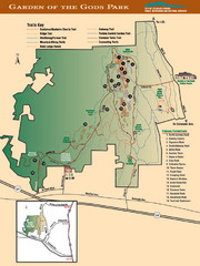
Garden of the Gods Park Map
375 miles away
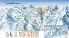
Powder Mountain Ski Trail Map
Official ski trail map of Powder Mountain ski area from the 2007-2008 season.
376 miles away
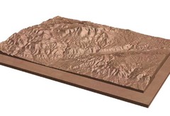
Pikes Peak, Colorado carved by CarvedMaps.com Map
Pikes Peak in Colorado has been carved by CarvedMaps.com This company can carve anywhere within...
377 miles away
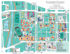
Colorado College Map
377 miles away
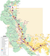
Central Colorado Fishing Guide Map
378 miles away

Colorado Springs, Colorado City Map
378 miles away

Utah Dinosaur Country Map
379 miles away
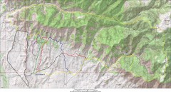
Fruita 18 Road Trail Map
Mountain biking trail map of the 18 Road area in Fruita, CO including Chutes & Ladders, Zipity...
379 miles away
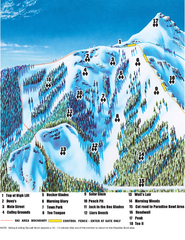
Crested Butte Mountain Resort Teocalli Bowl Ski...
Trail map from Crested Butte Mountain Resort, which provides downhill, nordic, and terrain park...
380 miles away
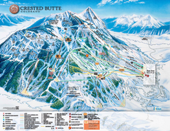
Crested Butte Mountain Resort Ski Trail Map
Trail map from Crested Butte Mountain Resort, which provides downhill, nordic, and terrain park...
380 miles away
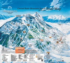
Crested Butte Mountain Resort Ski Trail Map
Official trail map of Crested Butte Mountain Resort, 2006-07 season.
380 miles away
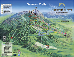
Crested Butte Mountain Resort Summer Trail Map
Official Crested Butte Mountain Resort summer trail map. Created by James Niehues.
380 miles away
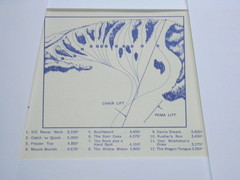
Devil’s Nest Devil’s Nest Ski Trail Map
Trail map from Devil’s Nest. This ski area opened in 1972.
380 miles away
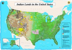
Indian Lands Map
Map of Indian Lands throughout the US
380 miles away
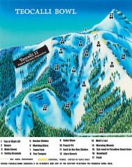
Crested Butte Mountain Resort Ski map - Teocalli...
Inset of the official Crested Butte trail map showing the experts-only Teocalli Bowl.
380 miles away
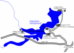
Starvation State Park Map
The sprawling waters of Starvation Reservoir offer great fishing and boating. Find a secluded...
381 miles away
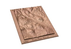
Carved Wooden Map of Crested Butte, Colorado by...
Crested Butte, CO Carved by CarvedMaps.com
382 miles away

Wolf Mountain Ski Trail Map
Trail map from Wolf Mountain.
382 miles away

Utah mountain resorts Map
383 miles away
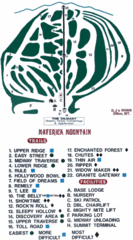
Maverick Mountain Ski Area Ski Trail Map
Trail map from Maverick Mountain Ski Area.
384 miles away
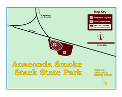
Anaconda Smoke Stack State Park Map
Simple map of State Park.
384 miles away
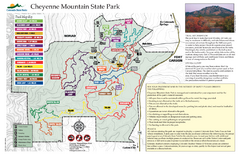
Cheyenne Mountain State Park trail map
Trail map for Cheyenne Mountain State Park in Colorado.
385 miles away
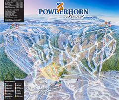
Powderhorn Resort Ski Trail Map
Trail map from Powderhorn Resort, which provides downhill and terrain park skiing. It has 4 lifts...
386 miles away
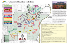
Cheyenne Mountain State Park Map
Trail map of park
386 miles away
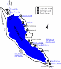
Rockport State Park Map
Find first-rate, year-round recreation at this northern Utah destination. During summer, fish, boat...
386 miles away

Snowbasin Nordic Trail Map
Nordic trail map of Snowbasin resort, Utah
386 miles away
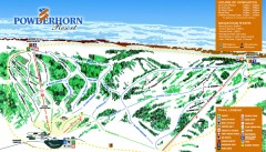
Powderhorn Ski Trail Map
Official ski trail map of Powderhorn Resort ski area from the 2007-2008 season.
386 miles away
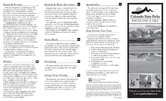
Highline Lake State Park Map
Map of park with detail of recreation areas
386 miles away
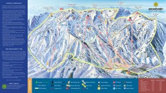
Snowbasin Ski Trail Map
Official ski trail map of ski area from the 2007-2008 season.
387 miles away
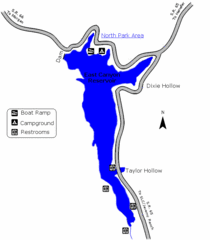
East Canyon State Park Map
East Canyon State Park is a 680-acre boating and year-round fishing delight nestled in the...
388 miles away
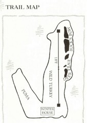
Ski Broadmoor Ski Trail Map
Trail map from Ski Broadmoor. This ski area opened in 1960’s.
388 miles away
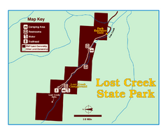
Lost Creek State Park Map
These spectacular gray limestone cliffs and pink and white granite formations rise 1,200 feet above...
389 miles away
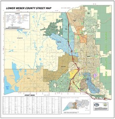
Lower Weber County Street Map
Street map for area around Ogden, UT
389 miles away
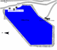
Willard Bay State Park Map
Boat, swim, waterski, and fish on the warm waters of Willard Bay. Camp under tall cottonwood trees...
389 miles away
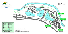
Island Acres State Park Map
Map of island acres section of the James M Robb Colorado River State Park
390 miles away
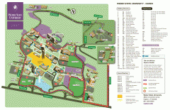
Weber State University Map
Weber State University Campus Map. All buildings shown.
390 miles away
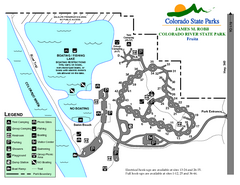
Fruita Area State Park Map
Map of fruita section of the James M Robb Colorado River State Park
391 miles away

