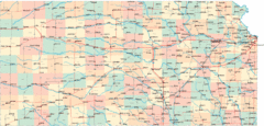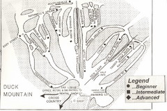
Duck Mountain Ski Trail Map
Trail map from Duck Mountain, which provides downhill and nordic skiing. This ski area has its own...
535 miles away
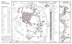
Itasca State Park Summer Map
Map of park with detail of trails and recreation zones
535 miles away
Val Chatel Ski Trail Map
Trail map from Val Chatel, which provides downhill and nordic skiing. This ski area opened in 1953.
535 miles away
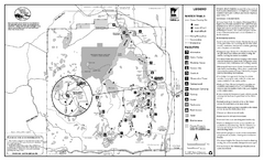
Itasca State Park Winter Map
Winter seasonal map of park with detail of trails and recreation zones
536 miles away
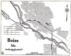
Boise Idaho 1917 Map
536 miles away
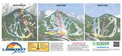
Lookout Pass Ski Trail Map
Official ski trail map of Lookout Pass ski area from the 2007-2008 season. Shows Montana, Idaho...
537 miles away
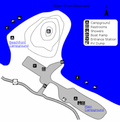
Otter Creek Reservoir Map
This quiet getaway is a great destination for ATV riders, boaters, and birders. Access three ATV...
539 miles away
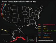
US Tsunami Events Map
Shows tsunami events in the US and Puerto Rico from 900 to 1964. Map not to scale. This map shows...
541 miles away
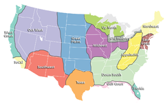
Regions of the United States Map
Appalachia- Hills, hills and more hills. Appalachian landforms contribute to landscapes of...
542 miles away
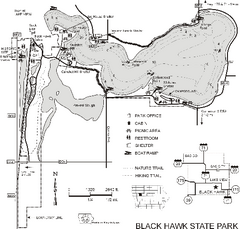
Black Hawk State Park Map
Map of trails, lake depths and facilities for Black Hawk State Park.
545 miles away
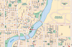
Saskatoon, Saskatchewan Tourist Map
545 miles away
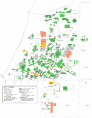
University of Saskatchewan Campus Map
Campus map of the University of Saskatoon in Saskatoon, Saskatchewan, Canada. Shows all buildings...
546 miles away
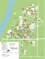
University of Saskatchwan Campus Map
Campus Map of the University of Saskatchwan in Canada. Includes all buildings and detailed parking...
546 miles away
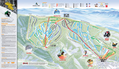
Angel Fire Resort Ski Trail Map
Trail map from Angel Fire Resort.
546 miles away
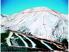
Castle Mountain Resort Ski Trail Map
Trail map from Castle Mountain Resort, which provides downhill skiing. This ski area has its own...
546 miles away
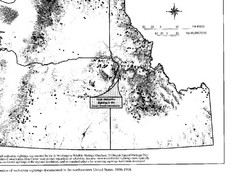
Map of Wolverine Sightings: 1886 -- 1998
546 miles away
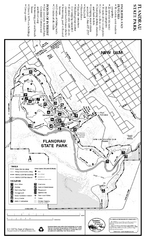
Flandrau State Park Map
Map of park with detail of trails and recreation zones
546 miles away
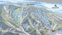
Angel Fire Ski Trail Map
Official ski trail map of Angel Fire ski area from the 2007-2008 season.
547 miles away
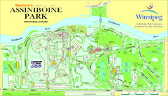
Assiniboine Park Map
548 miles away
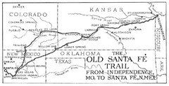
The Old Santa Fe Trail Map
548 miles away

Kansas Map Circa 1910
550 miles away
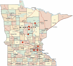
Minnesota County Map
551 miles away
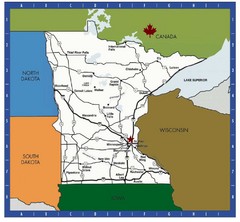
Minnesota Tourist Map
551 miles away
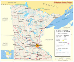
Minnesota Tourist Map
551 miles away
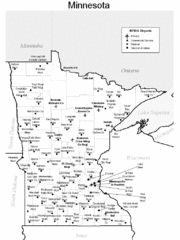
Minnesota Airports Map
551 miles away
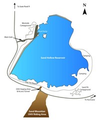
Sand Hollow State Park Map
With its warm, blue waters and red sandstone landscape, Utah's newest state park is also one...
551 miles away
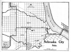
Nebraska City 1920 Map
551 miles away
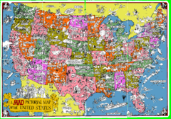
A MAD Pictorial Map of the United States - Front...
I found these raw assembled scans in a dieing torrent in 2010. Hash code...
551 miles away
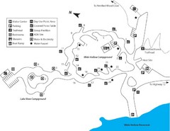
Escalante Petrified Forest State Park Map
Escalante Petrified Forest State Park is located in beautiful southern Utah, just 44 miles east of...
552 miles away
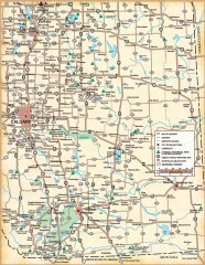
Southern Alberta Map
Shows highways, cities and towns, national/provincial parks and recreation areas, UNESCO World...
552 miles away
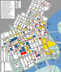
Winnipeg Parking and Walking Map
Shows parking facilities and walking points of interest in downtown Winnipeg, Manitoba, Canada.
553 miles away
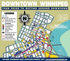
Winnipeg, Manitoba City Map
553 miles away
Winnipeg, Manitoba City Map
553 miles away
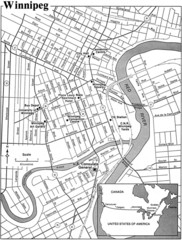
Winnipeg, Manitoba City Map
553 miles away
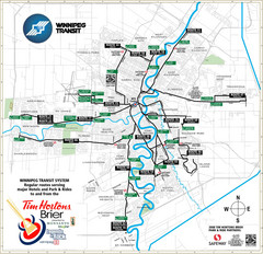
Winnipeg Transit System Map
553 miles away

Winnipeg 1908 Map
Street map of Winnipeg with street index.
553 miles away
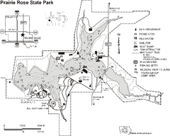
Prairie Rose State Park Map
Map of trails, lake depths, fishing spots and park facilities in Prairie Rose State Park.
553 miles away
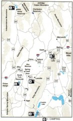
Camping in Elko County, Nevada Map
Map of camping opportunities in Elko County, Nevada, showing camp grounds, roads and towns.
554 miles away

Powder Ridge Ski Area Ski Trail Map
Trail map from Powder Ridge Ski Area.
554 miles away

