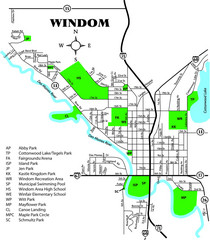
Windom City Parks Map
517 miles away
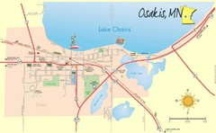
Osakis City Map
A quaint city on the shore of a beautiful lake.
518 miles away
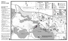
Sibley State Park Summer Map
map of park with detail of trails and recreation zones
518 miles away
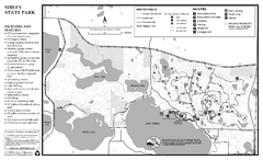
Sibley State Park Winter Map
Winter seasonal map of park with detail of trails and recreation zones
518 miles away

Wilson Island State Recreation Area Map
Map of trails, boat ramps and park facilities in Wilson Island State Recreation Area.
519 miles away
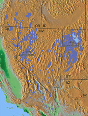
Pleisocene Lakes of western U.S. Map
520 miles away
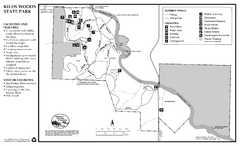
Kilen Woods State Park Summer Map
Summer seasonal map of park with detail of trails and recreation zones
521 miles away
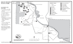
Kilen Woods State Park Winter Map
Winter seasonal map of park with detail of trails and recreation zones
521 miles away

Spicer City Map
City map of Spicer, Minnesota with visitor's information
523 miles away
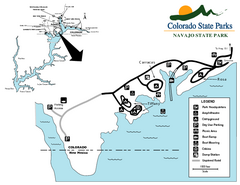
Navajo State Park Map
Map of park with detail of recreation zones
523 miles away
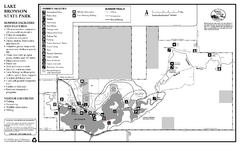
Lake Bronson State Park Summer Map
Summer seasonal map of park with detail of trails and recreation zones
523 miles away
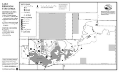
Lake Bronson State Park Winter Map
Winter seasonal map of park with detail of trails and recreation zones
523 miles away
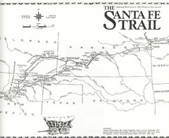
Santa Fe Trail Map
Historic map of the Santa Fe caravan trail
524 miles away
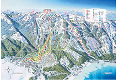
Tamarack Resort Ski Trail Map
Trail map from Tamarack Resort, which provides downhill, nordic, and terrain park skiing. It has 7...
524 miles away
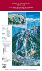
Red River Ski Area Ski Trail Map
Trail map from Red River Ski Area.
524 miles away
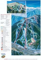
Red River Ski Trail Map
Official ski trail map of Red River ski area
524 miles away
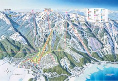
Tamarack Ski Trail Map
Official ski trail map of Tamarack ski area from the 2007-2008 season.
525 miles away
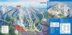
Brundage Ski Trail Map
Official ski trail map of Brundage ski area from the 2007-2008 season.
526 miles away
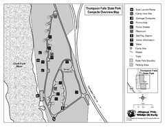
Thompson Falls State Park Map
This shaded, quiet campground is located on the Clark Fork River near the town of Thompson Falls in...
526 miles away
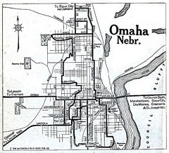
Omaha Nebraska 1920 Map
526 miles away
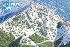
Brundage Mountain Resort Lakeview Bowl Ski Trail...
Trail map from Brundage Mountain Resort, which provides downhill and terrain park skiing. It has 5...
526 miles away
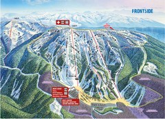
Brundage Mountain Resort Frontside Ski Trail Map
Trail map from Brundage Mountain Resort, which provides downhill and terrain park skiing. It has 5...
526 miles away
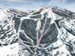
Bogus Basin Ski Trail Map - Pine Creek
Official ski trail map of Pine Creek area of Bogus Basinski area from the 2007-2008 season.
527 miles away
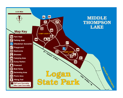
Logan State Park Map
With frontage on the north shore of Middle Thompson Lake, Logan is heavily forested with western...
527 miles away
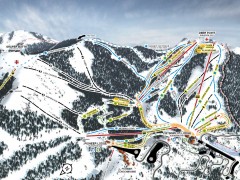
Bogus Basin Ski Trail Map - Front
Official ski trail map of frontside of Bogus Basin ski area from the 2007-2008 season.
527 miles away
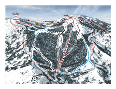
Bogus Basin Pine Creek Ski Trail Map
Trail map from Bogus Basin, which provides downhill, night, nordic, and terrain park skiing. It has...
528 miles away
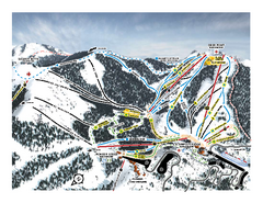
Bogus Basin Frontside Ski Trail Map
Trail map from Bogus Basin, which provides downhill, night, nordic, and terrain park skiing. It has...
528 miles away

Metropolis Nevada Ghost Town Map
529 miles away
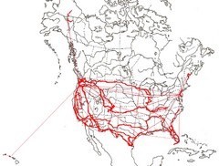
North America Layout Map
Countries, states and provinces in North America
529 miles away
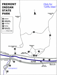
Fremont Indian State Park Map
Discover artifacts, petroglyphs, and pictographs left behind by the Fremont Indians. During...
530 miles away
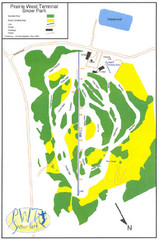
Prairie West Terminal Snow Park (Twin Towers) Ski...
Trail map from Prairie West Terminal Snow Park (Twin Towers), which provides downhill skiing. This...
530 miles away
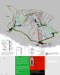
Taos Ski Valley Ski Trail Map
Trail map from Taos Ski Valley.
533 miles away
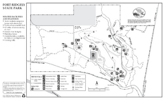
Fort Ridgely State Park Winter Map
Winter map of park with detail of trails and recreation zones
533 miles away
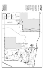
Fort Ridgely State Park Summer Map
Summer map of park with detail of trails and recreation zones
533 miles away
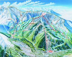
Taos Ski Valley Trail map
Official ski map of Taos Ski Valley. 12 lifts servicing 1,294 acres.
533 miles away
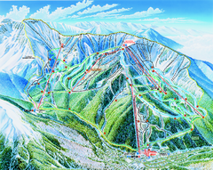
Taos Ski Area Ski Trail map 2006-07
Ski trail map of Taos ski area for the 2006-2007 season. A James Niehues creation.
533 miles away

Sangre de Cristo Mountain Trail Map
Ski trail map of one of the Sangre de Cristo mountains
534 miles away
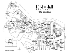
Boise State University Map
Boise State University Campus Map. All areas shown.
534 miles away

Fort Defiance State Park Map
Map of hiking, equestrian and cross country skiing trails and park facilities of Fort Defiance...
534 miles away
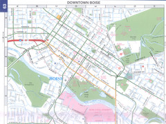
Boise, Idaho Downtown Map
Map of the downtown area of Boise, Idaho includes all streets, parks and the Boise State University.
534 miles away

