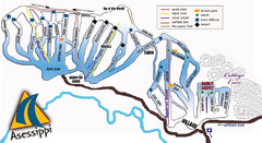
Asessippi Winter Park Ski Trail Map
Trail map from Asessippi Winter Park, which provides downhill skiing. This ski area has its own...
500 miles away
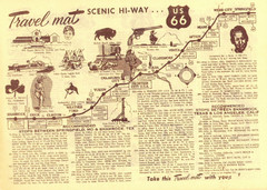
Route 66 Stops Between Shamrock, Texas and Los...
Route 66 Landmarks
501 miles away
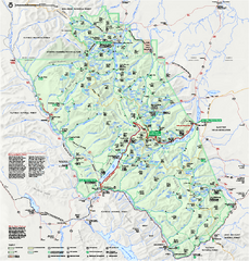
Glacier National Park official map
Glacier National Park official map.
501 miles away
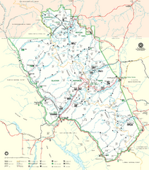
Glacier National Park Trail Map
Trails campgrounds and ranger stations.
501 miles away
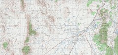
Delta Quad Sheet Detail 1972 Map
502 miles away
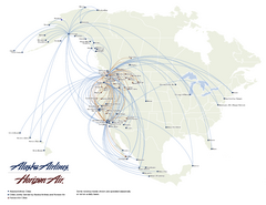
Alaska Airlines Route Map
504 miles away
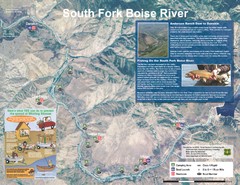
South Fork Boise River Map
Map of the South Fork of the Boise River from Anderson Ranch Dam to Neal Bridge. Premier wild...
504 miles away
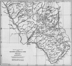
1915 Glacier National Park Map
Historical map of Glacier National Park in Montana.
505 miles away
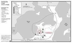
Monson Lake State Park Map
Map of park with detail of trails and recreation zones
507 miles away
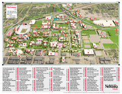
University of Nebraska - Lincoln Map
Campus Map of the University of Nebraska - Lincoln Campus. All areas shown.
508 miles away
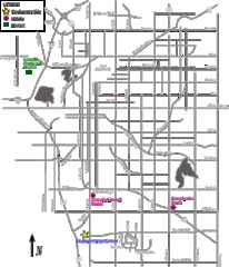
Lincoln, Nebraska City Map
508 miles away
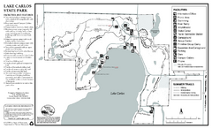
Lake Carlos State Park Summer Map
Summer seasonal map of park with detail of trails and recreation zones
510 miles away
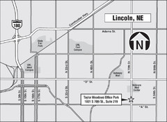
Lincoln, Nebraska Map
510 miles away
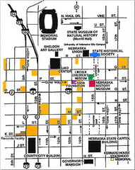
Downtown Lincoln, Nebraska Map
Red is the Nebraska History Museum. School bus parking is on the west side of 15th Street in front...
510 miles away
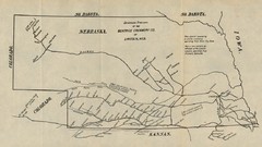
Skimming Stations of the Beatrice Creamery...
"Skimming Stations of the Beatrice Creamery Co. of Lincoln, Neb." From Report of the...
510 miles away
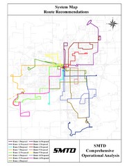
Lincoln Bus Map
510 miles away
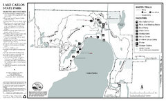
Lake Carlos State Park Winter Map
Winter seasonal map of park with detail of trails and recreation zones
510 miles away
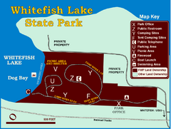
Whitefish Lake State Park Map
Although it’s right on the outskirts of Whitefish, this small park provides a mature forest...
511 miles away
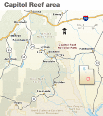
Capitol Reef National Park Map
Clear map marking major highways and cities.
511 miles away
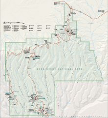
Mesa Verde National Park Official Park Map
Official NPS map of Mesa Verde National Park in Colorado. MESA VERDE NATIONAL PARK IS OPEN DAILY...
511 miles away
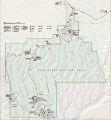
Mesa Verde National Park Official Park Map
Official NPS map of Mesa Verde National Park in Colorado. Mesa Verde National Park is open year...
511 miles away
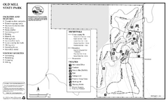
Old Mill State Park Winter Map
Winter seasonal map of park with detail of trails and recreation zones
511 miles away

Old Mill State Park Summer Map
Summer seasonal map of park with detail of trails and recreation zones
511 miles away
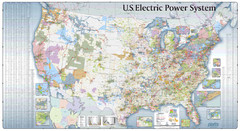
US Electric Power System Map
Map showing the US electric power system. from site: "shows power generation and transmission...
512 miles away
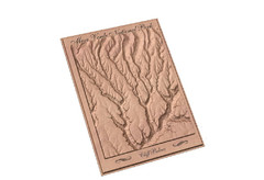
Mesa Verde carved by carvedmaps.com Map
Carved map of Mesa Verde in Colorado by carvedmaps.com
512 miles away
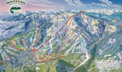
Whitefish Mountain Ski Trail Map - Front Side
Official ski trail map of Whitefish Mountain ski area from the 2007-2008 season. (formerly named...
512 miles away
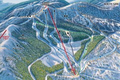
Whitefish Mountain Ski Trail Map - North Side
Official ski trail map of Whitefish Mountain ski area from the 2007-2008 season. (formerly named...
512 miles away
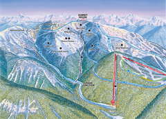
Whitefish Mountain Resort Hellroaring Ski Trail...
Trail map from Whitefish Mountain Resort.
512 miles away

Whitefish Mountain Resort Northside Ski Trail Map
Trail map from Whitefish Mountain Resort.
512 miles away
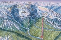
Whitefish Mountain Ski Trail Map - Hellroaring...
Official ski trail map of Whitefish Mountain ski area from the 2007-2008 season. (formerly named...
512 miles away
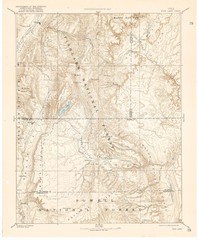
Topo Map of Capitol Reef Region (Fish Lake Quad...
This is one of four USGS maps done by the Powell survey and depicting the area around Capitol Reef...
513 miles away
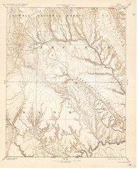
Topo Map of Escalante Quadrant, UT circa 1886
One of four USGS maps detailing the area around Capitol Reef National Park and Glen Canyon circa...
514 miles away
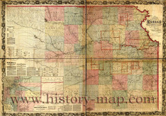
Kansas Railroad Map 1867
Here for your perusal is a sectional map of the state of Kansas showing the route of the Union...
514 miles away
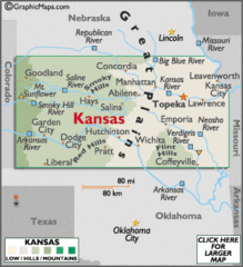
Kansas Elevations Map
514 miles away
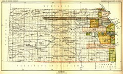
Kansas Native American Territories 1866-1867 Map
489., 492 Cherokee, 19 Jul 1866 (on Indian Territory Map 22, Kansas, Map 27) 495. Sauk and Fox of...
514 miles away
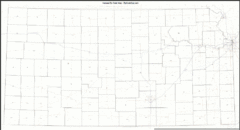
Kansas Zip Code Map
Check out this Zip code map and every other state and county zip code map zipcodeguy.com.
514 miles away
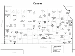
Kansas Airports Map
514 miles away
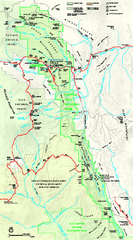
Capitol Reef National Park Official Map
Official NPS map of Capitol Reef National Park in Utah. Map shows all areas. The park and...
516 miles away
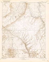
Topo Map of San Rafael Quadrant circa 1885
This is one of four USGS maps from the 1880's and 90's depicting the area around the...
517 miles away
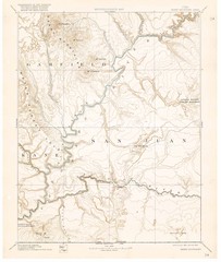
Henry Mtns Topo Map, circa 1892
One of a set of four maps circa 1890s by USGS depicting the area around the Henry Mtns and Capitol...
517 miles away

