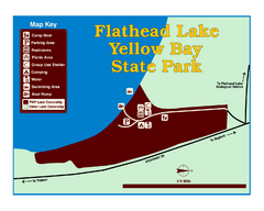
Yellow Bay State Park Map
Yellow Bay is in the heart of the famous Montana sweet cherry orchards, blossoms color the...
478 miles away
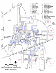
University of Minnesota Morris Campus Map
University of Minnesota Morris Campus map. Description off all buildings, streets and parking lots...
479 miles away
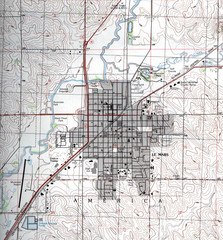
Lemars Iowa Topo Map
USGS topo map of Lemars, Iowa
479 miles away
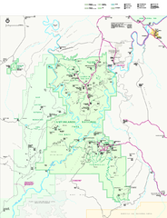
Canyonlands National Park Official Park Map
Official NPS map of Canyonlands National Park. Located in Utah. Map shows all areas but does not...
479 miles away
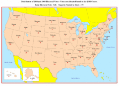
Electoral Votes by State Map
Electoral vote distribution by state
480 miles away
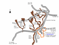
Goblin Valley State Park Map
The vast landscape of sandstone goblins may have visitors wondering if they're in Mars or Utah...
480 miles away
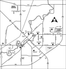
City of Marshall Visitor's Map
City of Marshall Visitor's Map describes the location of basic needs as well as recreational...
481 miles away
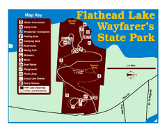
Wayfarers State Park Map
481 miles away
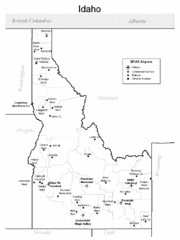
Idaho Airports Map
481 miles away

Bonneville Salt Flats International Speedway Map
481 miles away
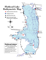
Bathymetric Map of Flathead Lake
Bathymetry refers to underwater depth
483 miles away
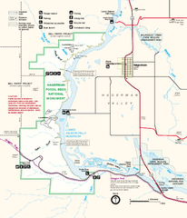
Hagerman Fossil Beds National Monument Map
Official map of Hagerman Fossil Beds National Monument in Hagerman, Idaho
483 miles away
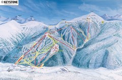
Keystone Ski Area Map
Ski trails, lifts and mountain elevations for Keystone and Bear Mountain, Colorado.
483 miles away
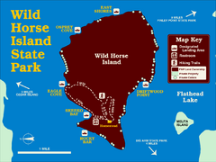
Wild Horse Island State Park Map
Boat access to this day-use-only, primitive park is regulated to protect the 2,000-acre island. The...
485 miles away
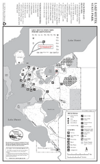
Lake Shetek State Park Winter Map
Winter seasonal map of park with detail of trails and recreation zones
487 miles away
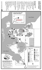
Lake Shetek State Park Summer Map
Summer seasonal map of park with detail of trails and recreation zones
487 miles away
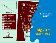
Big Arm State Park Map
Clear map and map key of Park camping grounds.
487 miles away
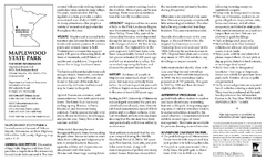
Maplewood State Park Summer Map
Summer seasonal map of park with detail of trails and recreation zones
489 miles away
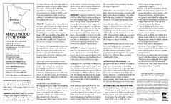
Maplewood State Park Winter Map
Winter seasonal map of park with detail of trails and recreation zones
489 miles away
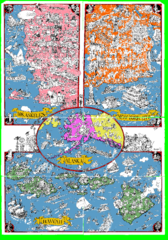
A MAD Pictorial Map of the United States - Back...
I found these raw assembled scans in a dieing torrent in 2010. Hash code...
492 miles away
Minnedosa Ski Valley Ski Trail Map
Trail map from Minnedosa Ski Valley, which provides downhill skiing. This ski area has its own...
494 miles away
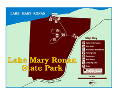
Lake Mary Ronan State Park Map
Off the beaten path just seven miles west of Flathead Lake, this park is shaded by Douglas fir and...
494 miles away

Andes Tower Hills Ski Trail Map
Trail map from Andes Tower Hills.
494 miles away
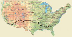
Cross Country Bike Route Map
A Map Of The Route taken by Lucas Hartman on his 6 week, 3,108.1 mile cross-country bike trip.
495 miles away
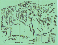
Hesperus Ski Area Ski Trail Map
Trail map from Hesperus Ski Area.
496 miles away

Blacktail Mountain Ski Area Ski Trail Map
Trail map from Blacktail Mountain Ski Area.
496 miles away
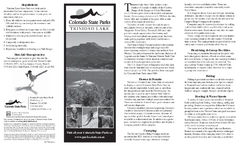
Trinidad State Park Map
Map of park with detail of recreation zones
497 miles away
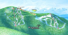
Blacktail Mountain Ski Trail Map
Official ski trail map of Blacktail Mountain ski area. See Blacktail's site for trailnames.
497 miles away
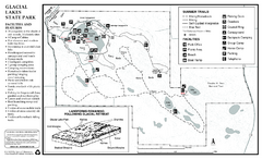
Glacial Lakes State Park Map
Map of park with detail of trails and recreation zones
497 miles away
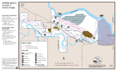
Upper Sioux Agency State Park Winter Map
Winter seasonal map of park with detail of trails and recreation zone
497 miles away
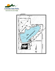
Mancos State Park Map
Map of park with detail of recreation zones
497 miles away
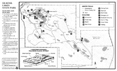
Glacial Lakes State Park Winter Map
Map of park with detail of trails and recreation zones
497 miles away
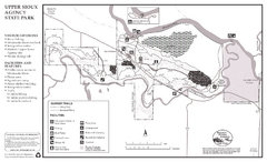
Upper Sioux Agency State Park Summer Map
Summer seasonal map of park with detail of trails and recreation zones
497 miles away

Glacier National Park by carvedmaps.com Map
Wooden carved map of Glacier National Park by carvedmaps.com Anywhere in the United States maps...
498 miles away
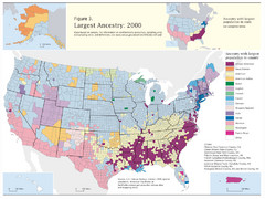
Census 2000 Data Top US Ancestries by County Map
Guide to Ancestries in the US
498 miles away
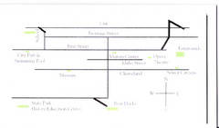
Glenns Ferry City Map
City map of Glenns Ferry, Idaho with information
498 miles away
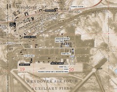
Wendover Air Base Map
499 miles away

Glendalough State Park Map
Map of park with detail of trails and recreation zones
499 miles away
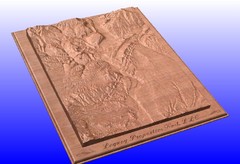
Durango, Colorado carved by CarvedMaps.com Map
Wooden map of Durango carved by Tom Justin at CarvedMaps.com. CarvedMaps.com does a beautiful...
500 miles away
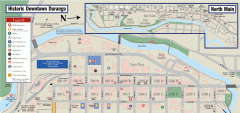
Historic Downtown Durango map
Walking map of historic downtown Durango, Colorado. Sponsored by the Durango Business Improvement...
500 miles away

