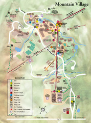
Mountain Village Tourist Map
Tourist map of Mountain Village, Colorado at the Telluride Ski Area.
456 miles away
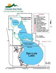
San Luis State Park Map
Map of park with detail of recreation zones
456 miles away
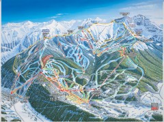
Telluride ski trail map
Official ski trail map of Telluride ski area from the 2006-2007 season.
456 miles away
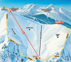
Telluride Revelation Bowl Ski Trail Map
Trail map from Telluride, which provides downhill, nordic, and terrain park skiing. It has 18 lifts...
456 miles away
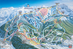
Telluride Ski Trail Map
Trail map from Telluride, which provides downhill, nordic, and terrain park skiing. It has 18 lifts...
456 miles away
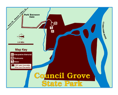
Council Grove State Park Map
Clearly marked map.
456 miles away
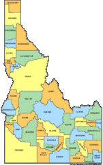
Idaho Counties Map
456 miles away
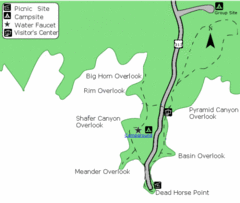
Dead Horse Point State Park Map
Stroll along the Rim Walk, towering 2,000 feet directly above the Colorado River. The mesa that is...
457 miles away
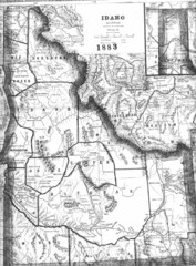
Idaho 1883 Map
458 miles away
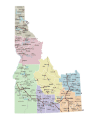
Idaho Road Map
458 miles away
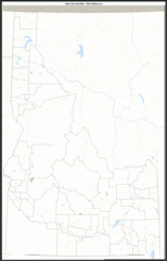
Idaho Zip Code Map
Check out this Zip code map and every other state and county zip code map zipcodeguy.com.
458 miles away
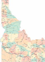
Idaho Road Map
459 miles away
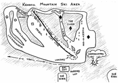
Kendall Mountain Ski Trail Map
Trail map from Kendall Mountain, which provides downhill and nordic skiing. It has 1 lift servicing...
461 miles away
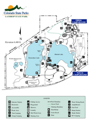
Lathrop State Park Map
Map of park with detail of recreation zones
463 miles away
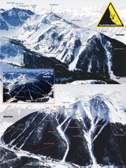
Silverton Ski Trail Map
Ski trail map of Silverton Mountain in Silverton, Colorado. Lift-serviced backcountry conditions...
463 miles away
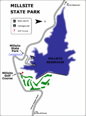
Millsite State Park Map
Camp in the quiet campground, and boat and fish on the blue waters of Millsite Reservoir. Play 18...
463 miles away
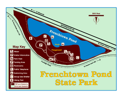
Frenchtown Pond State Park Map
Plan to bring everyone in the family to this day-use-only park for a whole afternoon of picnicking...
464 miles away
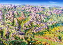
Ouray, Colorado area map
Regional artistic aerial view of the Ouray area and surrounding San Juan Mountains. Shows...
465 miles away

Oregon Trail Historical Map
465 miles away
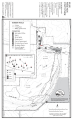
Blue Mounds State Park Map
Map of park with detail of trails and recreation zones
465 miles away
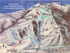
Soldier Mountain Ski Trail Map
Trail map from Soldier Mountain, which provides downhill and terrain park skiing. It has 3 lifts...
467 miles away
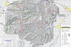
Utha Arapeen OHV Trail System- South Map
Utah Arapeen OHV Trail System map. Located near the towns of Fairview, Ephraim, and Manti, Utah.
467 miles away
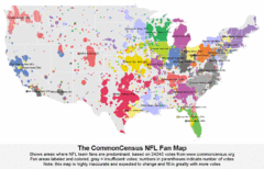
NFL Fan Bases Map
Shows US fan bases of NFL teams
468 miles away

Stone State Park Map
Map of trails and park facilities in Stone State Park.
469 miles away
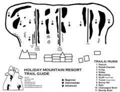
Holiday Mountain Ski Trail Map
Trail map from Holiday Mountain, which provides downhill skiing. It has 4 lifts. This ski area has...
471 miles away
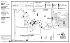
Buffalo River State Park Map
Map of park with detail of trails and recreation zones
473 miles away
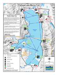
West Shore State Park Map
Glacially carved rock outcrops rise from Flathead Lake to overlooks with spectacular views of the...
473 miles away
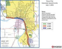
Sioux City, Iowa City Map
474 miles away
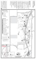
Camden State Park Winter Map
Map of park with detail of trails and recreation zones
474 miles away
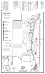
Camden State Park Summer Map
Map of park with detail of trails and recreation zones
474 miles away
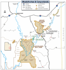
Canyonlands National Park Map
Clear map and key marking cities, rivers, highways and points of interest.
474 miles away
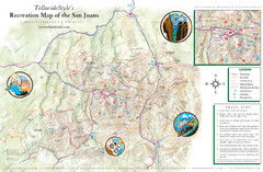
San Juan Mountains Trail Map
475 miles away

Wolf Creek Ski Area Ski Trail Map
Trail map from Wolf Creek Ski Area, which provides downhill and nordic skiing. It has 7 lifts...
476 miles away
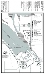
Lac Qui Parle State Park Map
Map of park with detail of trails and recreation zones
476 miles away
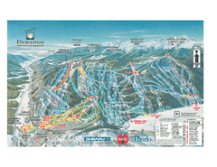
Durango Mountain Ski Trail Map
Official ski trail map of Durango Mountain Resort (formerly Purgatory) from 2003
476 miles away
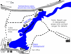
Yuba State Park Map
The sprawling waters of Yuba State Park provide a variety of recreation opportunities for visitors...
476 miles away

Wolf Creek Ski Trail Map
Official ski trail map of Wolf Creek ski area
476 miles away

Frost Fire Mountain Ski Trail Map
Trail map from Frost Fire Mountain.
477 miles away
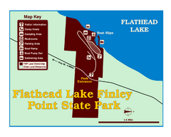
Finley Point State Park Map
This park is located in a secluded, mature pine forest near the south end of Flathead Lake. Enjoy...
477 miles away

Red River State Recreation Area Map
map of recreation area with detail of trails and recreation zones
478 miles away

