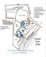
Bader Park Map
438 miles away
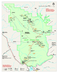
Arches National Park Official map
Official NPS park map of Arches National Park. Shows trails, roads, and all park facilities.
439 miles away
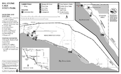
Big Stone Lake State Park Map
Map of park with detail of trails and recreation zones
439 miles away

Arches National Park Map
439 miles away
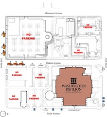
Washington Pavillion of Arts and Sciences Bus...
440 miles away
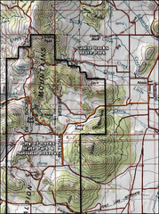
City of Rocks Topo Map
This topo map does not do justice to City of Rocks which is a wonderful reserve that is managed by...
440 miles away
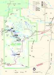
City of Rocks Park Map
This is the official Map for the reserve
440 miles away
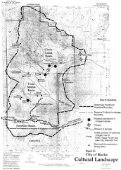
Sites of Cultural Importance, City of Rocks Area...
440 miles away
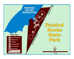
Painted Rocks State Park Map
Located in the scenic Bitterroot Mountains, this 23-acre park offers boating and water sport...
441 miles away
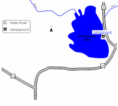
Huntington Lake State Park Map
Take a hike around this beautiful lake.
442 miles away
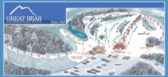
Great Bear Recreation Park Ski Trail Map
Trail map from Great Bear Recreation Park.
443 miles away
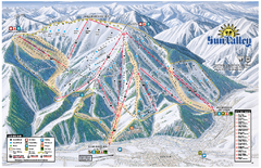
Sun Valley Ski Area Trail Map
Official ski trail map of Bald Mountain, the main mountain of Sun Valley ski area in Sun Valley...
444 miles away
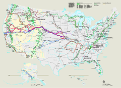
National Trails System Map
Map of all US National Scenic Trails and National Historic Trails. Shows all National Park System...
444 miles away
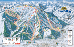
Sun Valley Ski Trail Map 2008
Ski trail map of Sun Valley ski area
444 miles away
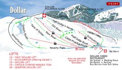
Sun Valley—Bald Mountain Ski Trail Map
Trail map from Sun Valley—Bald Mountain, which provides downhill, nordic, and terrain park skiing...
444 miles away
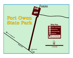
Fort Owen State Park Map
Fort Owen’s adobe and log remains preserves the site of the first permanent white settlement...
444 miles away
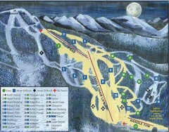
Marshall Mountain Ski Trail Map
Trail map from Marshall Mountain.
445 miles away
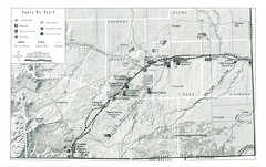
Santa Fe Trail Visitor Map
Map of the Santa Fe Trail showing all hiking trails, camping and picnic areas, roads, and monuments...
445 miles away
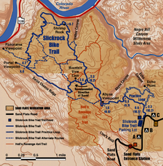
Slickrock Trail Map
Trail map of the famous Slickrock mountain biking trail in Moab, Utah. Trail distances shown. 10...
445 miles away
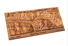
Lake City, CO carved by carvedmaps.com Map
Lake City, CO map carved by carvedmaps.com
447 miles away
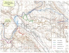
Moab Mountain Unicycling Festival Trail Map
Moab Area Topo Map with trails marked for festival
447 miles away
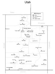
Utah Airports Map
448 miles away
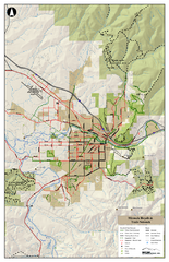
Missoula Bike Trails Map
Road and Mt. Bike trails with a bit of topology near Missoua
448 miles away

Missoula Trail System Map
Basic Map of Hike/Bike/Run Trail system for Missoula MT
448 miles away

Missoula, Montana City Map
448 miles away
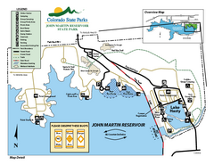
John Martin State Park Map
Map of park with detail of recreation zones
449 miles away
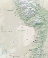
Great Sand Dunes National Park and Preserve map
Official NPS map of Great Sand Dunes National Park and Preserve. Park includes the tallest dune in...
451 miles away
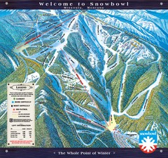
Montana Snowbowl Ski Trail Map
Trail map from Montana Snowbowl.
452 miles away
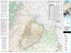
San Rafael, Utah Trail Map
Trails and main roads near Manti-LaSal National Forest and Castle Dale in Emery County, Utah
452 miles away
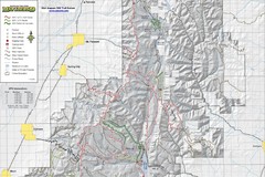
Utah Arapeen OHV Trail System- North Map
The Utah Arapeen OHV Trail System located in near the Towns of Fairview, Ephraim, and Mant, Utah.
452 miles away
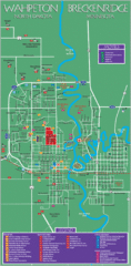
Wahpeton and Breckenridge City Map
City map of Wahpeton, North Dakota and Breckenridge, Minnesota. Shows motels, education...
454 miles away
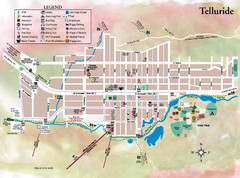
Telluride Town Map
455 miles away
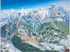
Telluride, Colorado Trail Map
455 miles away
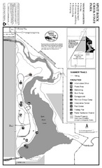
Split Rock Creek State Park Summer Map
Summer seasonal map of park with detail of trails and recreation zones
455 miles away
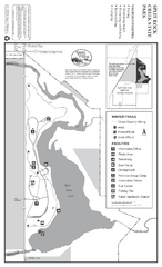
Split Rock Creek State Park Winter Map
Winter seasonal map of park with detail of trails and recreation zones
455 miles away

Mission Ridge Winter Park Ski Trail Map
Trail map from Mission Ridge Winter Park, which provides downhill skiing. This ski area has its own...
455 miles away
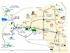
San Luis Valley Tourist Map
Tourist map of San Luis Valley, Colorado area. Shows attractions.
456 miles away
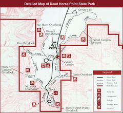
Dead Horse Point State Park Map
456 miles away

