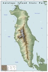
Antelope Island State Park Map
Shaded relief map of Antelope Island State Park, Utah. Shows facilities, peaks, and springs...
411 miles away
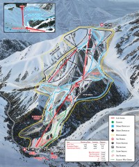
Sundance Ski Trail Map
Official ski trail map of Sundance ski area from the 2007-2008 season.
412 miles away
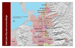
Salt Lake City and Surrounding Area Map
Cities and streets identified along with mountain range elevation.
412 miles away
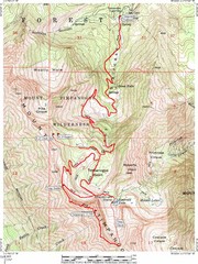
Mount Timpanogos Trail Map
Trail map of Mount Timpanogos 11,749 feet, in the Mount Timpanogos Wilderness Area, Utah. One of...
412 miles away
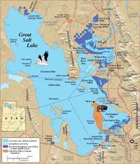
Great Salt Lake Map
412 miles away
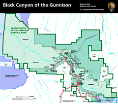
Black Canyon of the Gunnison National Park Map
Official NPS map of Black Canyon of the Gunnison in Colorado. Shows all areas including the South...
413 miles away
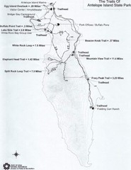
Antelope Island State Park Map
Antelope Island State Park, the largest island in the Great Salt Lake, is home to a roaming herd of...
413 miles away

Watertown City Parks Map
City parks map of Watertown, South Dakota. Shows 35 parks.
415 miles away
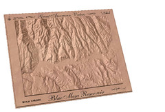
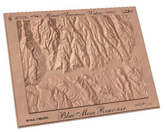
Blue Mesa Reservoir by Carvedmaps.com Map
Blue Mesa Reservoir carved by carvedmaps.com - Tom Justin artist
415 miles away
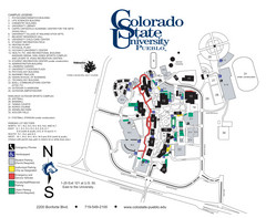
Colorado State University - Pueblo Campus Map
Campus map of Colorado State University-Pueblo
416 miles away
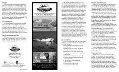
Lake Pueblo State Park Map
Map of park with detail of recreation zones
418 miles away
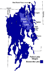
Lake Bonneville Levels Map
419 miles away
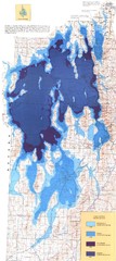
Ancient Lake Bonneville Map
419 miles away
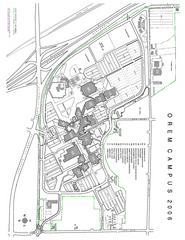
Utah Valley State University Map
Utah Valley State University. All areas shown.
419 miles away
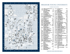
Brigham Young University Map
Campus Map of Brigham Young University in Utah. All buildings shown.
420 miles away
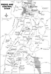
Provo, Utah City Map
420 miles away
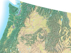
Northwest USA topo Map
422 miles away
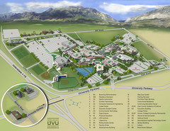
Utah Valley University Map
Campus map
422 miles away
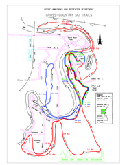
Moose Jaw Cross Country Ski Trail Map
Cross country ski trails around city of Moose Jaw, Saskatchewan, Canada. Shows green, red, and...
422 miles away
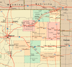
Northeast Colorado Map
423 miles away
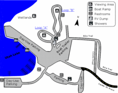
Utah Lake State Park Map
Utah's largest freshwater lake provides fishing access for channel catfish, walleye, white...
424 miles away
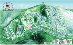
Lost Powder Mountain Ski Trail Map
Trail map from Lost Trail Powder Mountain.
424 miles away
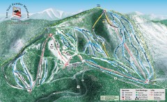
Lost Trail Powder Mountain Ski Trail Map
Official ski trail map of Lost Trail Powder Mountain ski area
424 miles away
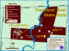
Travelers' Rest State Park Map
The Lewis and Clark expedition camped here twice during their historic journey to locate the...
425 miles away
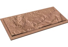
Gateway, Colorado carved by CarvedMaps.com Map
CarvedMaps.com carved this beautiful wood map of the Gateway area in SW Colorado. This company...
426 miles away
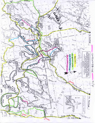
Uncompahgre National Forest Map
National Forest in Western Colorado
426 miles away
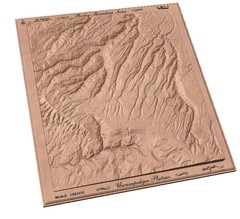
Uncompahgre Plateau by carvedmaps.com Map
Uncompahgre Plateau
426 miles away
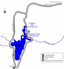
Scofield State Park Map
Camp, boat, and fish at this summer and winter recreation destination situated high in the Manti...
427 miles away
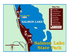
Salmon Lake State Park Map
Immediately adjacent to Montana 83, this park is an access point to one of the beautiful lakes in...
427 miles away
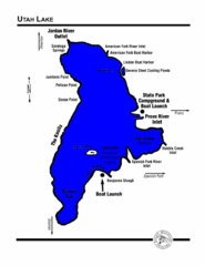
Utah Lake Map
428 miles away
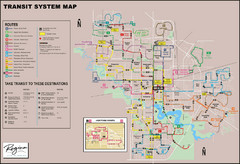
Regina Transit Map
Bus route map of the city of Regina, Saskatchewan, Canada.
428 miles away
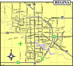
Regina Map
Street map of downtown Regina
429 miles away
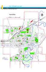
Swift Current Tourist Map
Tourist map of Swift Current, Saskatchewan. Shows all parks and walking paths.
429 miles away
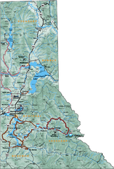
Northern Idaho Road Map
429 miles away
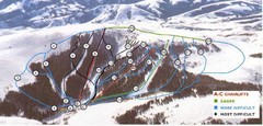
Pomerelle Ski Area Ski Trail Map
Trail map from Pomerelle Ski Area, which provides downhill, night, and terrain park skiing. It has...
430 miles away
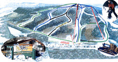
Hidden Valley Ski Trail Map
Trail map from Hidden Valley, which provides downhill skiing. This ski area has its own website.
434 miles away
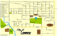
Lennox Town Map
Map of Lennox, including various recreational locations
434 miles away
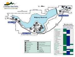
Ridgway State Park Map
Map of park with detail of recreation zones
435 miles away
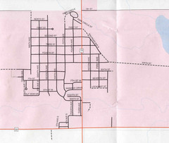
Clear Lake City Map
City map of Clear Lake, South Dakota with landmarks
436 miles away

