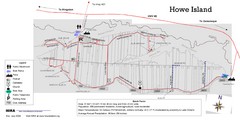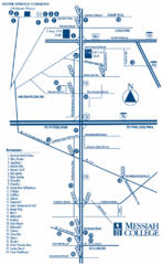
South Pennsylvania Restaurant Map
375 miles away
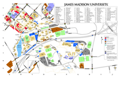
James Madison University Map
375 miles away

Gettysburg Battlefield Map
376 miles away
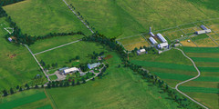
Eisenhower Farm National Historic Site Map
Visitor map of former US president Dwight D. Eisenhower's farm, a National Historic Site. 1.5...
376 miles away
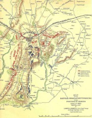
Gettysburg Battlefield map July 2, 1863
Map of the Union and Confederate positions in the Battle of Gettysburg July 2, 1863. "On July...
376 miles away

Illinois State Fairgrounds Map
376 miles away
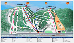
Labrador Mountain Ski Trail Map
Trail map from Labrador Mountain.
376 miles away
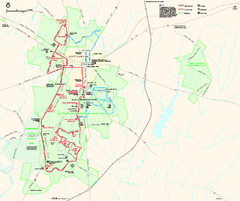
Gettysburg National Military Park Official Map
Official NPS map of Gettysburg National Military Park in Virginia. The park is open daily from 6...
376 miles away
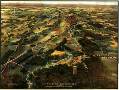
Gettysburg Battlefield in 1913 Map
Bird's eye view map of the Gettysburg Battlefield in 1913 by the Pennsylvania Railroad. From...
376 miles away

Maquoketa Caves State Park Map
Map of trails and park facilities for Maquoketa Caves State Park.
377 miles away
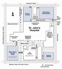
St. John's Hospital Visitor Map
St. John's Hospital Visitor Map includes all main buildings, names of streets and parking...
377 miles away

Looking for Lincoln Walking Tour, Springfield...
Looking for Lincoln walking tour map, Springfield, Illinois. Shows sites associated with President...
377 miles away
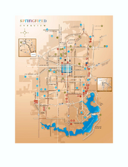
Springfield, Illinois Map
Tourist maps of Springfield, Illinois. Includes two maps: wider view of Springfield, and downtown...
377 miles away
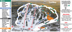
Calabogie Peaks Ski Trail Map
Trail map from Calabogie Peaks, which provides downhill skiing. This ski area has its own website.
378 miles away
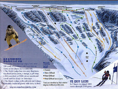
Sundown Mountain Ski Trail Map
Trail map from Sundown Mountain.
378 miles away
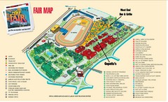
New York State Fairgrounds Map
379 miles away
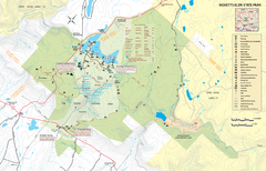
Ricketts Glen State Park map
Detailed recreation map of Ricketts Glen State Park in Pennsylvania
379 miles away
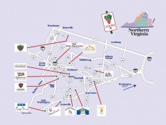
Blue Ridge vineyards map
Winery map of the Blue Ridge area of Virginia, showing wineries and vineyards.
379 miles away
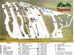
Toggenburg Ski Center Ski Trail Map
Trail map from Toggenburg Ski Center.
380 miles away
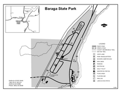
Baraga State Park, Michigan Site Map
380 miles away
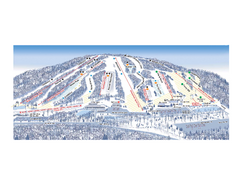
Ski Roundtop Ski Trail Map
Trail map from Ski Roundtop.
380 miles away
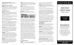
Douthat State Park Map
Clear state park map with marked facilities.
380 miles away
Sky Meadows State Park Map
Clearly marked state park map.
381 miles away
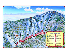
Massanutten Resort Ski Trail Map
Trail map from Massanutten Resort.
381 miles away
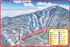
Massanutten Ski Trail Map
Official ski trail map of Massanutten ski area from the 2007-2008 season.
382 miles away

Painted DEM of Menard Co. Illinois Map
Mosaic painted DEM of Menard Co. using Arc/Info 8.x; AML; Perl; Erdas Imagine on SUN Hardware (Unix...
382 miles away
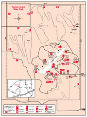
Ramsey Lake State Park, Illinois Site Map
382 miles away
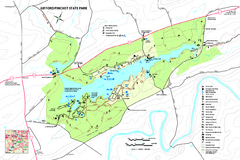
Gifford Pinchot State Park Map
Detailed map of Gifford Pinchot State Park in Pennsylvania.
383 miles away
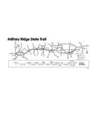
Military Ridge State Trail Map
Simple map marking trail route.
383 miles away
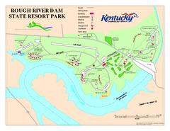
Rough River Dam State Resort Park Map
Map of trails, facilities and golf course in Rough River Dam State Resort Park.
383 miles away
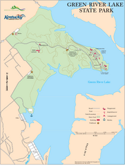
Green River Lake State Park Map
Map of trails and facilities in Green River Lake State Park.
383 miles away
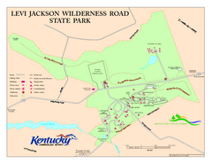
Levi Jackson Wilderness Road State Park Map
Map of trails and facilities of Levi Jackson Wilderness Road State Park.
384 miles away

Shenandoah National Park map
Official NPS map of Shenandoah National Park.
385 miles away

Ski Snowstar Ski Trail Map
Trail map from Ski Snowstar, which provides downhill and night skiing. It has 6 lifts servicing 14...
385 miles away
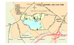
Memorial Lake State Park map
Detailed map of Memorial Lake State Park in Pennsylvania
385 miles away
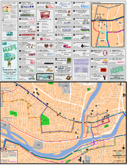
Binghampton Bus Route Map
385 miles away
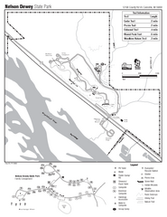
Nelson Dewey State Park Map
Easy trails for you to walk on your vacation.
386 miles away
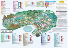
Hershey Park Official Map
Official 2007 map of the Hershey Theme Park in Hershey, PA
386 miles away
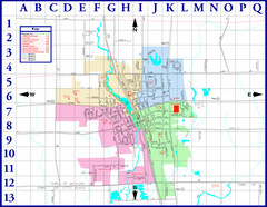
Medford City Map
City map of Medford, Wisconsin. Shows public buildings and districts.
386 miles away

