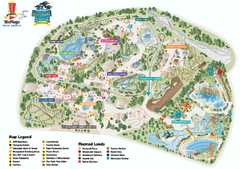
Six Flags Great America Theme Park Map
Official Park Map of Six Flags Great America, in Chicago.
230 miles away
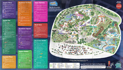
2008 Six Flags Great America Theme Park Map
Guide to Six Flags and Hurricane Harbor near Chicago, IL
230 miles away
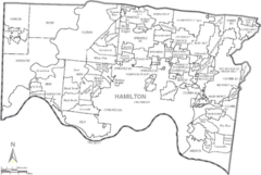
Hamilton, Ohio City Map
230 miles away
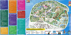
Six Flags Great America Theme Park Map
Guide to Six Flags and Hurricane Harbor near Chicago, IL
230 miles away
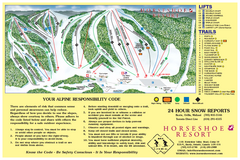
Horseshoe Resort Ski Trail Map
Trail map from Horseshoe Resort, which provides downhill and nordic skiing. This ski area has its...
231 miles away
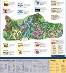
Paramount's Kings Island Map
231 miles away
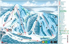
Heights of Horseshoe Ski Trail Map
Trail map from Heights of Horseshoe, which provides downhill skiing. This ski area has its own...
231 miles away

Downtown Buffalo Map
231 miles away
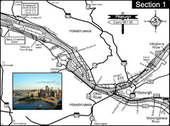
Ohio River at Pittsburgh, PA at the confluence of...
This is a page from the Ohio River Guidebook. The Ohio River begins at this confluence. This map...
231 miles away
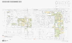
University of Illinois at Chicago Map
University of Illinois at Chicago Campus Map. All buildings shown.
231 miles away
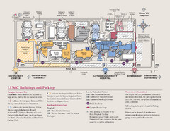
Loyola University Medical Center Map
Visitor map of Loyola University Medical center including Hospital/ Emergency and Output center...
232 miles away
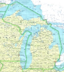
Lake Michigan Map
232 miles away
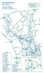
Paint Creek State Park map
Detailed recreation map for Paint Creek State Park in Ohio
232 miles away
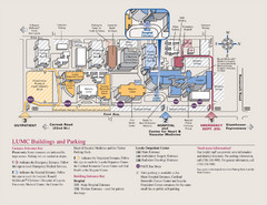
Layola University Medical Campus Map
Map of Layola University Campus. Shows specific location of the hospital, emergency department...
232 miles away

Mackinak Island Road and Trail Map
232 miles away
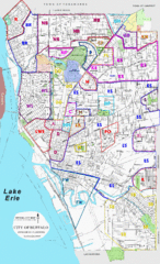
Buffalo, New York Tourist Map
232 miles away

Buffalo, New York City Map
232 miles away

University of Buffalo Campus Maps Map
North, South and Downtown
232 miles away
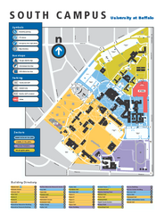
SUNY at Buffalo - South Campus Map
SUNY at Buffalo - South Campus Map. All buildings shown.
232 miles away

Tinley Creek Trail Map
Bicycle trail map
232 miles away

Salt Creek Map
Picnic Areas and Trail Map
232 miles away
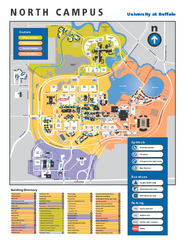
SUNY at Buffalo - North Campus Map
Campus Map of SUNY at Buffalo North campus. All buildings shown.
232 miles away
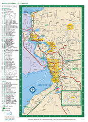
Buffalo, New York Map
Three tourist maps: one of the Buffalo, New York, area, one of the city of Buffalo, and one of...
232 miles away

Tinley Creek Map
Picnic Areas and Trail Map
233 miles away
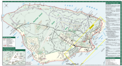
Mackinac Island Map
Tourist map of Mackinac Island, Michigan. Shows attractions.
233 miles away
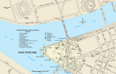
Point State Park Map
Recreation map for Point State Park in Pennsylvania
233 miles away
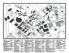
University of Pittsburgh - Main Campus Map
University of Pittsburgh - Main Campus Map. All buildings shown.
233 miles away
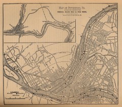
Antique map of Pittsburgh from 1879
"Map of Pittsburgh, Pa. Showing the Location of its Furnaces, Rolling Mills and Steel Works...
233 miles away

Mackinak Island topography Map
233 miles away
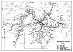
Pittsburgh, Pennsylvania City Map
233 miles away
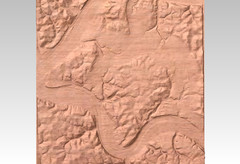
Pittsburgh, PA carved by carvedmaps.com Map
We can carve any location within the United States. Do you have a mountain cabin? We can carve...
233 miles away
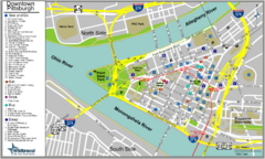
Pittsburgh Tourist Map
233 miles away
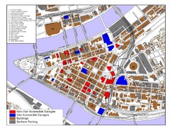
Pittsburgh Tourist Map
233 miles away
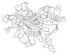
Pittsburgh neighborhoods Map
233 miles away
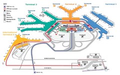
Chicago O'hare Airport Map
233 miles away
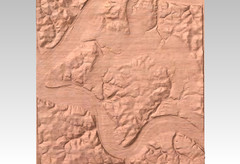
Pittsburgh map carved by CarvedMaps.com
Wood Map of the three rivers area of Pittsburgh, PA. CarvedMaps.com can carve any area within...
233 miles away
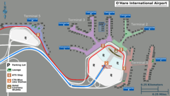
Chicago O'hare Airport Map
233 miles away
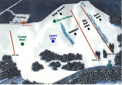
Crystal Ridge Ski Area Ski Trail Map
Trail map from Crystal Ridge Ski Area.
234 miles away
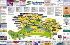
Southpointe Community Map
Tourist map of planned community in Pennsylvania
234 miles away
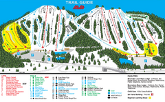
Mount St. Louis/ Moonstone Ski Trail Map
Trail map from Mount St. Louis/ Moonstone, which provides downhill skiing. This ski area has its...
234 miles away

