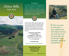
Chino Hills State Park Map
Map of park with detail of trails and recreation zones
42 miles away

Hoag Hospital Map
Campus map
43 miles away
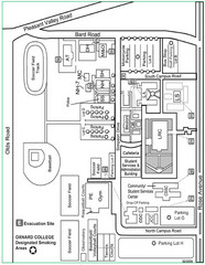
Oxnard College Map
43 miles away
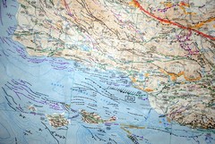
Oxnard California Fault Lines Map
FAULT MAP OF THE SANTA BARBARA TO OXNARD COASTAL AREA THE MESA-RINCON CREEK FAULT LIES DIRECTLY...
43 miles away
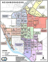
Oxnard California Neighborhoods Map
Neighborhoods: * Del Norte District o El Rio o El Rio West o...
43 miles away
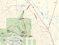
Chino Hills State Park NE Map
Map of NE portion of park with detail of trails and recreation zones
43 miles away
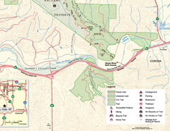
Chino Hills State Park SE Map
Map of SE portion park with detail of trails and recreation zones
44 miles away
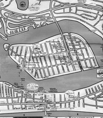
Balboa Island 2007 approx. Map
45 miles away
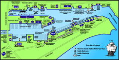
Channel Islands Harbor, California Map
Tourist map of Channel Islands Harbor, California. Shows water taxi stops, restaurants, parks, and...
45 miles away
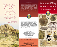
Antelope Valley State Park Map
Map of park with detail of of trails and recreation zones
45 miles away
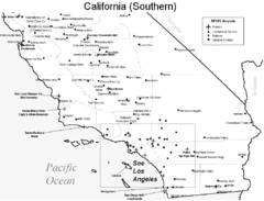
Southern California Airports Map
46 miles away
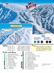
Mount Baldy Trail Map
47 miles away
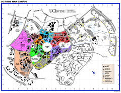
University of California at Irvine Map
University of California at Irvine Campus Map. All areas shown.
47 miles away
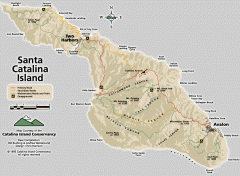
Santa Catalina Island road and trail map
Shows all roads, trails, and campgrounds on Santa Catalina Island.
47 miles away
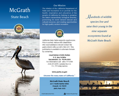
McGrath State Beach Map
Map of beach and park with detail of trails and recreation zones
48 miles away
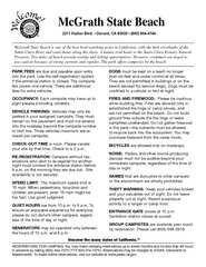
McGrath State Beach Campground Map
Map of beach and park with detail of trails and recreation zones
48 miles away
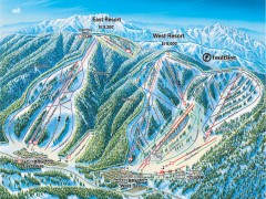
Mountain High Ski Trail Map - East and West Resort
Official ski trail map of Mountain High ski area for the East Resort and West Resort
48 miles away
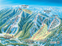
Mountain High Resort East & West Resorts Ski...
Trail map from Mountain High Resort, which provides downhill, night, and terrain park skiing. It...
48 miles away
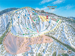
Mountain High Resort North Resort Ski Trail Map
Trail map from Mountain High Resort, which provides downhill, night, and terrain park skiing. It...
48 miles away
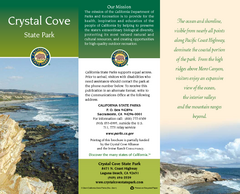
Crystal Cove State Park Map
Map of park with detail of trails and recreation zones
48 miles away
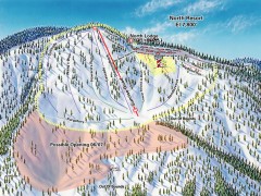
Mountain High Ski Trail Map - North Resort
Official ski trail map of Mountain High ski area for the North Resort
49 miles away
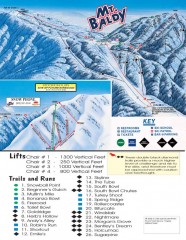
Mt. Baldy Ski Trail Map
Official ski trail map of Mount Baldy Ski Lifts ski area
50 miles away
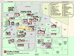
Chaffey College Rancho Cucamonga Campus Map
Chaffey College Rancho Cucamonga Campus Map. All buildings shown.
51 miles away

San Buenaventura Map
51 miles away
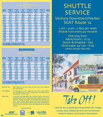
SCAT Shuttle Map: Ventura Harbor to Downtown...
Shuttle bus route map of SCAT Shuttle between Ventura Harbor and downtown Ventura, California...
51 miles away
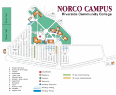
Riverside Community College Map
Map of Norco Campus
51 miles away
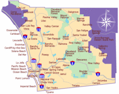
Laguna Beach Tourist Map
53 miles away
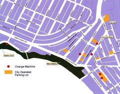
Downtown Laguna Beach Tourist Map
53 miles away
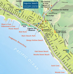
Laguna Beach Tourist Map
53 miles away
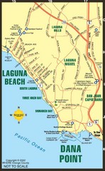
Laguna Beach Tourist Map
53 miles away
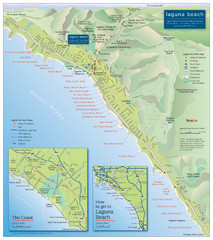
Laguna Beach Tourist Map
53 miles away
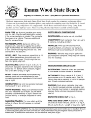
Emma Wood State Beach Campground Map
Map of campground region of park with detail of trails and recreation zones
53 miles away
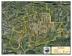
Ojai Street Map
Street map of Ojai, California.
53 miles away

Limestone Canyon & Whiting Ranch Wilderness...
53 miles away
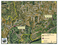
Ojai Park and Rides Map
City map of Ojai, California. Shows park & rides for commuters.
53 miles away
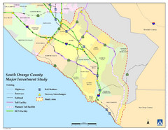
Orange County Map
54 miles away
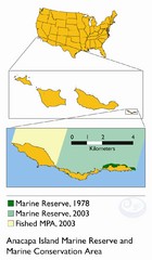
Anacapa Island Marine Reserve Map
55 miles away
Saddleback Butte State Park Map
Map of park with detail of trails and recreation zones
56 miles away
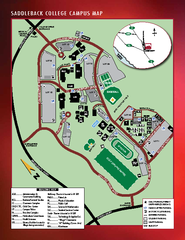
Saddleback College Map
57 miles away

Lake mathews geologic map
59 miles away

